Gilgit-Baltistan, Administrative division in northern Pakistan
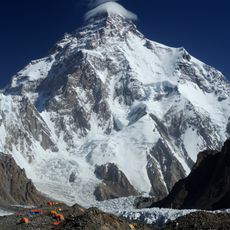
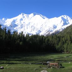
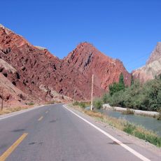
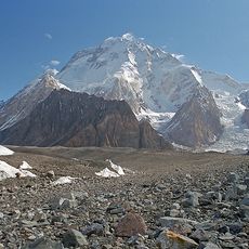
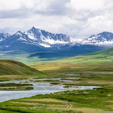
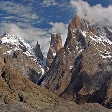
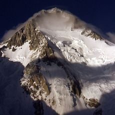
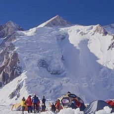
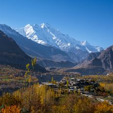
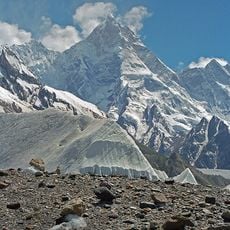
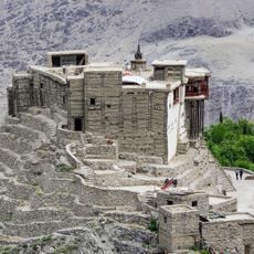
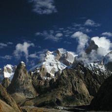
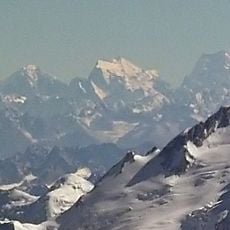
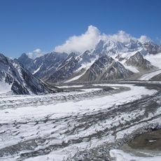
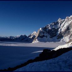
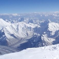
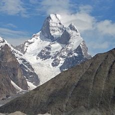
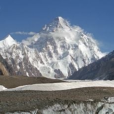
Gilgit-Baltistan is an administrative division in northern Pakistan that stretches across three major mountain ranges. The landscape consists of high peaks, deep valleys, and river courses that wind between the mountains.
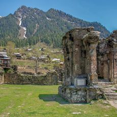
The territory changed hands multiple times over centuries before coming under Pakistani administration after the partition of British India. Its status has remained disputed between Pakistan and India ever since.
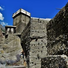
Travelers hear multiple languages and dialects spoken across valleys and villages, shifting as they move from one district to another. Local communities maintain traditional crafts and celebrate seasonal festivals tied to agriculture and mountain life.
The region is divided into three administrative zones, each containing districts with local authorities. Travelers should check current access rules and permits locally, as certain areas are subject to special regulations.
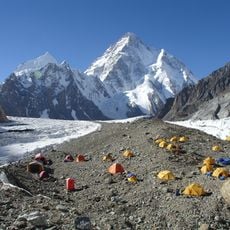
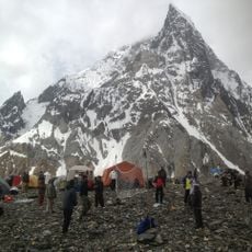
The area borders four countries and forms a crossroads between South Asia and Central Asia. Some of the world's tallest mountains stand close together here, drawing mountaineers from around the globe.
The community of curious travelers
AroundUs brings together thousands of curated places, local tips, and hidden gems, enriched daily by 60,000 contributors worldwide.