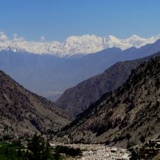
Fairy Meadows, Protected area in Gilgit-Baltistan, Pakistan.
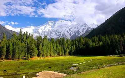
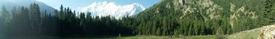
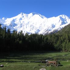
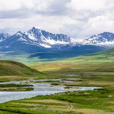
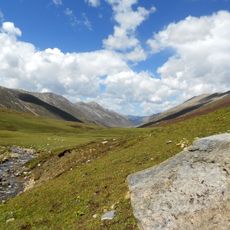
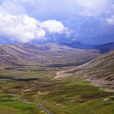
Fairy Meadows is a protected area at 3300 meters elevation in Gilgit-Baltistan, Pakistan, sitting below the Nanga Parbat massif. Open grass slopes alternate with stands of pine and birch, while the snow-covered slopes of the mountain rise directly behind.
Expeditions from Europe arrived in the 1930s and gave the place its current name. The region was formally declared a national park in 1995 to protect its vegetation and wildlife.
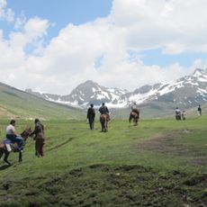
German climbers gave the meadows their name after seeing the bright green grass stretching across the highland. Shepherds from nearby valleys bring their livestock here during warmer months and set up simple wooden shelters for overnight stays.
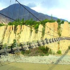
The route starts at Raikot Bridge and follows a narrow track to Tato village, from where a footpath climbs through the forest. The best time to visit is between April and September, when snow has melted and trails are passable.
The pines here belong to the species Pinus wallichiana, which grows more slowly at this altitude and develops dense, resinous wood. These trees have distant genetic links to species in southeastern Europe, even though thousands of kilometers separate them.
The community of curious travelers
AroundUs brings together thousands of curated places, local tips, and hidden gems, enriched daily by 60,000 contributors worldwide.