Łęknica, Border municipality in western Żary County, Poland.
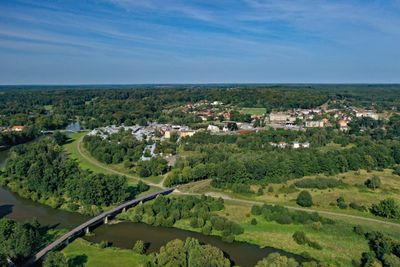
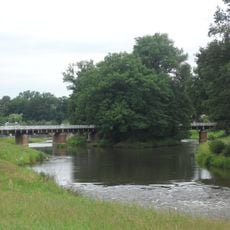
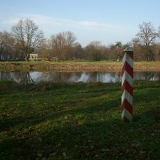
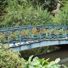
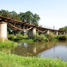
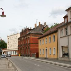
Łęknica is a border municipality in western Żary County, Poland, stretching along the Neisse River and marking a natural boundary with Germany. The town sits at coordinates 51°32′18″N 14°44′21″E and remains connected to Bad Muskau in Germany by a bridge crossing the river.
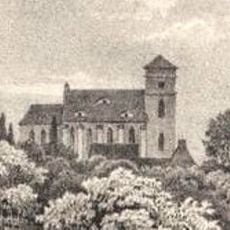
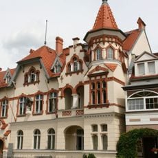
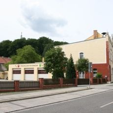
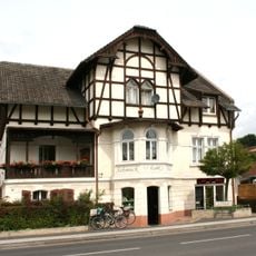
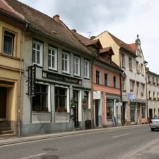
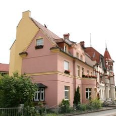
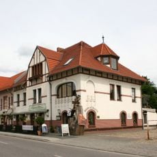
The settlement first appeared in written records in 1505 under the name Lugknitz and remained shaped by German influences for centuries. Severe destruction during World War II required extensive reconstruction that transformed the town's character.
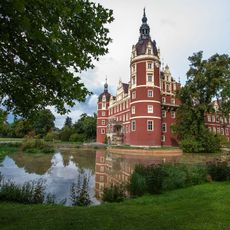
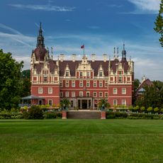
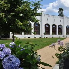
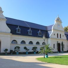
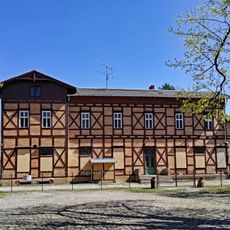
The town shares Muskau Park with its neighboring German counterpart, creating a cross-border UNESCO World Heritage site that both nations jointly protect and maintain. Visitors can walk through these shared green spaces and experience how the two communities cooperate to preserve this area.
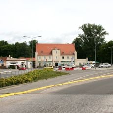
Regular transportation services connect the municipality to larger Polish cities, making arrival straightforward for most visitors. The bridge to Germany allows easy access from both sides of the border.
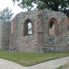
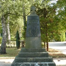
The area was once a center for brown coal mining and glass manufacturing that shaped generations of local livelihood. Traces of these former industrial operations remain visible in the landscape and tell the story of how the community developed.
Location: Żary County
Elevation above the sea: 142 m
Shares border with: Gmina Przewóz, Gmina Trzebiel
Website: http://leknica.um.gov.pl
GPS coordinates: 51.53333,14.73333
Latest update: December 7, 2025 20:41
Muskau Park
1.7 km
Schloss Muskau
1.7 km
Stadtkirche
1.5 km
Doppelbrücke
1.6 km
WOP post in Łęknica
795 m
Saint Barbara church in Łęknica
783 m
Bad Muskau
1.7 km
Villa Luchsenburg mit Turm, dazu Einfriedung Clara-Zetkin-Straße 3
1.4 km
Orangerie Schloss Muskau
1.5 km
Sechs Brücken (Fuchsienbrücke, Rehderbrücke, Eichseebrücke mit Eichseewehr, Schäferbrücke, Schlossbrücke, Karpfenbrücke), drei Einfriedungen mit Toren, Wehr am Neißedamm und Turbinenhaus, Schlossgärtnerei, Reithalle, Verwaltungsgebäude wes
1.4 km
Berg’sche Kirchruine
1.5 km
Feuerwache Clara-Zetkin-Straße
1.3 km
Vorwerk Schloss Muskau
1.5 km
Railway bridge Görlitzer Straße
596 m
Mietshaus in geschlossener Bebauung Neustädter Berggasse 3
1.3 km
Wohnhaus in geschlossener Bebauung Kirchstraße 53
1.7 km
Kriegerdenkmal für die Gefallenen des Ersten Weltkrieges auf dem Bergfriedhof (Einzeldenkmal zu ID-Nr. 09303045) Am Jungfernberg
1.5 km
Wohnhaus Görlitzer Straße 6
1.1 km
Postamt Bad Muskau
1.3 km
Wohnhaus in geschlossener Bebauung Neustädter Berggasse 1
1.3 km
Wohnhaus mit Laden Kirchstraße 57
1.7 km
Wohnhaus in halboffener Bebauung, mit Einfriedung Clara-Zetkin-Straße 1
1.4 km
Gasthaus „Zur Grenze“ und zwei Nebengebäude der ehemaligen Ausspanne Clara-Zetkin-Straße 29
1.2 km
Gasthaus Clara-Zetkin-Straße 27
1.2 km
Wohnhaus in geschlossener Bebauung, mit Laden Kirchstraße 67
1.7 km
Wohnhaus in geschlossener Bebauung Kirchstraße 55
1.7 km
Wohnhaus mit Anbau in halboffener Bebauung Clara-Zetkin-Straße 11
1.3 km
Empfangsgebäude, Güterabfertigung und zwei Nebengebäude des früheren Bahnhofs Bad Muskau
575 mVisited this place? Tap the stars to rate it and share your experience / photos with the community! Try now! You can cancel it anytime.
Discover hidden gems everywhere you go!
From secret cafés to breathtaking viewpoints, skip the crowded tourist spots and find places that match your style. Our app makes it easy with voice search, smart filtering, route optimization, and insider tips from travelers worldwide. Download now for the complete mobile experience.
A unique approach to discovering new places❞
— Le Figaro
All the places worth exploring❞
— France Info
A tailor-made excursion in just a few clicks❞
— 20 Minutes