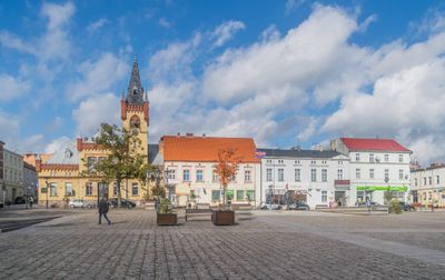
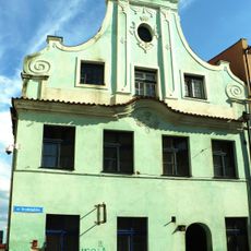
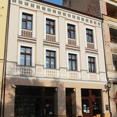
Świecie, Administrative center in Kuyavian-Pomeranian Voivodeship, Poland
Description
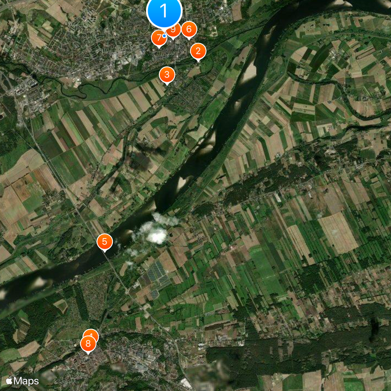
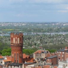
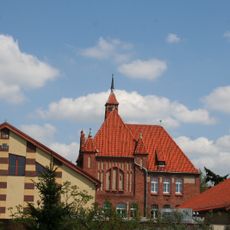
Świecie sits where the Vistula and Wda rivers meet, creating a setting shaped by water and surrounding valleys. The town spreads across flat terrain typical of northern Poland, with the rivers forming natural boundaries and defining how the settlement is organized.
History
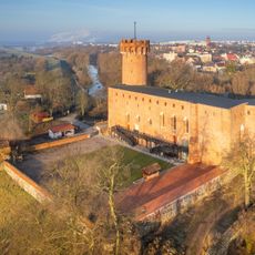
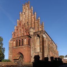
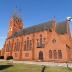
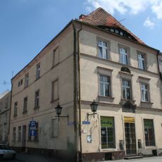
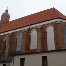
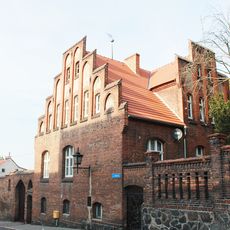
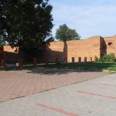
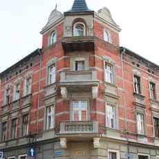
The settlement gained town rights in 1198 and grew in importance as a trading point along the Amber Road during the Middle Ages. This location on major trade routes shaped its early role in the region.
Culture
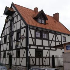
The town participates in a network of Vistula Valley communities that share local traditions and organize joint celebrations throughout the year. This connection helps preserve regional customs that visitors can encounter during their stay.
Practical
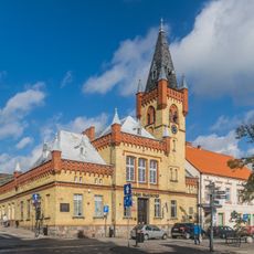
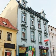
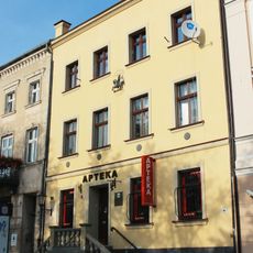
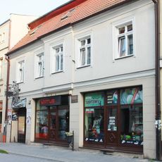
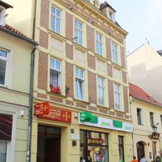
The town connects to major cities through national roads and is easy to reach by car or public transport. Basic services like hotels, shops, and restaurants are spread throughout the center, making it convenient to navigate on foot.
Did you know?
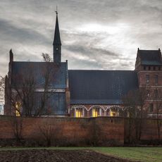
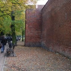
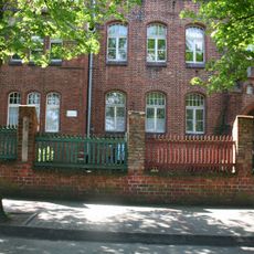
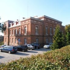
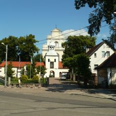
The population expanded significantly after sugar factories and paper mills opened during the 20th century, transforming the town from a quiet administrative center. Industrial heritage remains visible in the older factory buildings scattered throughout the outskirts.
AroundUs brings together thousands of curated places, local tips, and hidden gems, enriched daily by 60,000 contributors worldwide. Discover all places nearby (Gmina Świecie).
Świecie Castle
884 m
Saint Stanislaus and Our Lady of Częstochowa church in Świecie
1 km
Church of SS. Peter and Paul in Chełmno
6.7 km
Bridge in Chełmno
4.7 km
Immaculate Conception church in Świecie
521 m
Saint Andrew Bobola church in Świecie
261 m
Kamienica Cywińskich w Chełmnie
6.8 km
Old town hall in Świecie
195 m
Jüdischer Friedhof
6.8 km
Kościół św. Jana Chrzciciela i św. Jana Ewangelisty w Chełmnie
7 km
Kamienica przy ul. Grudziądzkiej 36 w Chełmnie
6.7 km
Wieża przy kościele Dominikańskim
6.5 km
Cmentarz ewangelicki w Kolnie
4.1 km
25 Market Square in Chełmno
6.9 km
17 Grudziądzka Street in Chełmno
6.8 km
Pastorówka, Wodna 3 w Chełmnie
6.6 km
7 Podmurna Street in Chełmno
6.7 km
2 Rycerska Street in Chełmno
6.8 km
24 Market Square in Chełmno
6.8 km
Grudziądzka 32
6.7 km
Ogrodzenie od ul. Kościuszki
6.5 km
Zespół kamienicy
6.7 km
City walls of Świecie
1 km
Budynek Urzędu Miasta
397 m
Zespół szkoły realnej, ob. Gimnazjum Nr 2 im. T. Kościuszki
6.5 km
13 Dominikańska Street in Chełmno
6.8 km
13 Grudziądzka Street in Chełmno
6.8 km
Zespół klasztorny bernardynów
574 mDiscover hidden gems everywhere you go!
From secret cafés to breathtaking viewpoints, skip the crowded tourist spots and find places that match your style. Our app makes it easy with voice search, smart filtering, route optimization, and insider tips from travelers worldwide. Download now for the complete mobile experience.
A unique approach to discovering new places❞
— Le Figaro
All the places worth exploring❞
— France Info
A tailor-made excursion in just a few clicks❞
— 20 Minutes