Gmina Ogrodzieniec, Urban-rural municipality in Zawiercie County, Poland
Gmina Ogrodzieniec is an urban-rural municipality located in Zawiercie County within the Silesian region. It encompasses both town areas and rural settlements spread across approximately 86 square kilometers in southern Poland.
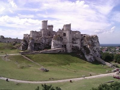
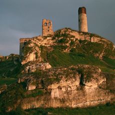
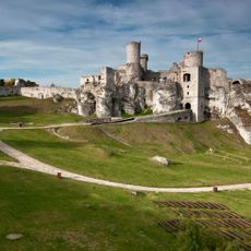
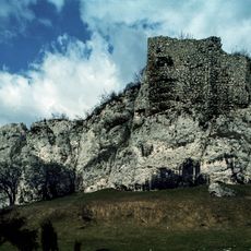
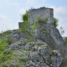
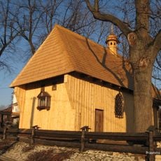
The area's history begins in the 11th century when forest settlements emerged along the border of Lesser Poland. A wooden fortress built during this period became an important defensive point in the region.
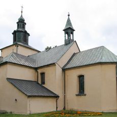
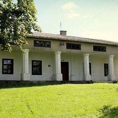
Several villages within the municipality maintain distinct local traditions and community practices that shape daily life. These settlements reflect the way people in the region connect with their surroundings and each other.
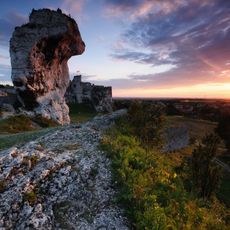
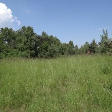
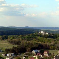
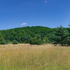
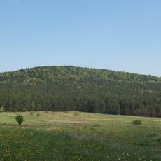
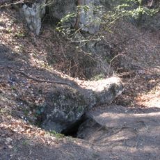
The municipality spreads across varied terrain and is best explored by car since settlements are scattered throughout the area. A portion of the Eagle Nests Landscape Park lies within the region and offers good opportunities for walking and observing the natural landscape.
The municipality demonstrates a notably balanced distribution between its urban and rural populations, with neither clearly dominating the other. This equilibrium shapes the character and development of the area in a distinctive way.
Location: Zawiercie County
Shares border with: Zawiercie, Gmina Klucze, Gmina Kroczyce, Gmina Łazy, Gmina Pilica
Website: http://ogrodzieniec.pl
GPS coordinates: 50.45000,19.51667
Latest update: December 10, 2025 16:24
Trail of the Eagles' Nests
4.1 km
Ogrodzieniec Castle
2.5 km
Eagle's Nests
3.3 km
Góra Zamkowa
2.6 km
Szlak Warowni Jurajskich
4.7 kmGóra Birów
2.9 km
Browar na Jurze
4.7 km
Saint James church in Giebło
6.9 km
Ryczów Castle
6.5 km
Park Miniatur w Ogrodzieńcu
2.4 km
Rezerwat przyrody Ruskie Góry
7.4 km
Saint Nicholas church in Zawiercie Kromołów
5.1 km
Góra Birów
2.9 km
Church of the Transfiguration of Jesus in Ogrodzieniec
763 m
Nature reserve Góra Chełm
5.7 km
Cmentarz żydowski w Zawierciu-Kromołowie
4.5 km
1000th-Anniversary of Polish State Stadium
7.3 km
Świniuszka
5.1 km
Jaskinia Na Świniuszce
5 km
Adept
2.8 km
Saint Mark church in Rodaki
7.4 km
Dwór w Zawierciu-Bzowie
2.4 km
Niski Tunel
7.1 km
Schronisko w Firkowej Skale
6.3 km
Cognor S.A. Oddział Ferrostal Łabędy w Zawierciu
6 km
Virgin Mary Queen of Poland church in Zawiercie
6.3 km
Dom Ludowy
7.4 km
Szkoła (ob. Gimnazjum nr 2)
7.5 kmVisited this place? Tap the stars to rate it and share your experience / photos with the community! Try now! You can cancel it anytime.
Discover hidden gems everywhere you go!
From secret cafés to breathtaking viewpoints, skip the crowded tourist spots and find places that match your style. Our app makes it easy with voice search, smart filtering, route optimization, and insider tips from travelers worldwide. Download now for the complete mobile experience.
A unique approach to discovering new places❞
— Le Figaro
All the places worth exploring❞
— France Info
A tailor-made excursion in just a few clicks❞
— 20 Minutes