Enable Location

We need your location to show you interesting places around you

Discover nearby places

Find interesting locations and hidden gems around you

Precise directions

Get accurate directions and distances to places

Your location is never shared with other users. It's only used when you tap the location button.

Szlak Warowni Jurajskich

Log in to your account

Start exploring — it's free

Trusted by 63,411 travelers worldwide

Continue with Google
Continue with Apple
or

We will send you a code to connect

By continuing, you accept our Terms and Conditions and our Privacy Policy

Check your inbox

We've sent a pincode in your inbox. Please enter the code below.

Szlak Warowni Jurajskich
Discussion Reviews 1 Photos
4.4k Popularity

Szlak Warowni Jurajskich, Medieval castle hiking trail in Silesian and Lesser Poland Voivodeships, Poland

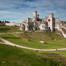
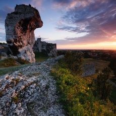
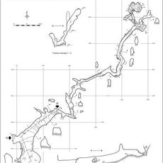
Szlak Warowni Jurajskich is a hiking trail spanning around 165 kilometers through limestone hills and forested areas of the Kraków-Częstochowa Upland. The route connects numerous medieval defensive structures while passing through rocky terrain with varying elevations throughout the journey.

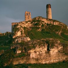
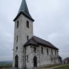
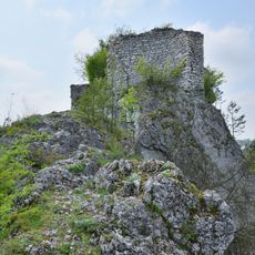
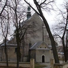
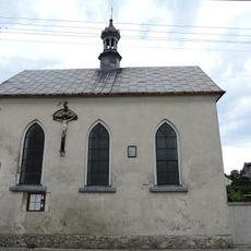
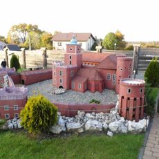
These fortifications were built during the 14th century as defensive outposts during territorial struggles between Polish and Czech kingdoms. Many were rebuilt or modified over following centuries as regional powers shifted and military needs changed.

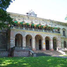
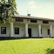
The fortifications along this route represent important centers of regional power and control throughout medieval times. Locals have long told stories about the nobles who lived in these strongholds and the daily life within their walls.

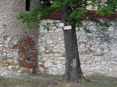
The trail is marked with blue signs and involves significant elevation changes, requiring moderate to good fitness levels to complete comfortably. Breaking the journey into shorter stages allows time to explore the castles and rest between hiking sections.

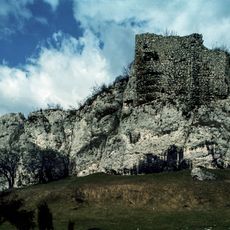
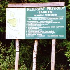
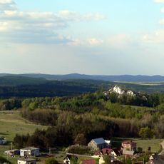
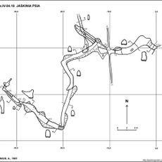
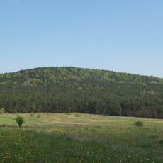
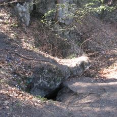
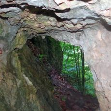
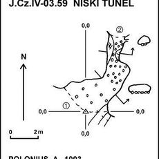
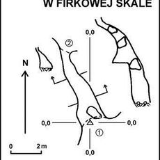
The route passes through a limestone region with dramatic rock formations and natural caves that made these locations attractive for building defensive structures. The geological features of the landscape directly shaped where and how the castles were positioned for maximum strategic advantage.

The community of curious travelers

AroundUs brings together thousands of curated places, local tips, and hidden gems, enriched daily by 60,000 contributors worldwide.

Start exploring
GPS coordinates
50.44713,19.58276
Latest update
December 11, 2025 11:00
Reviews
Share your experience

No review yet

Discussions
Start a discussion...

No discussion yet

« Szlak Warowni Jurajskich - Medieval castle hiking trail in Silesian and Lesser Poland Voivodeships, Poland » is provided by Around Us (aroundus.com). Images and texts are derived from Wikimedia project under a Creative Commons license. You are allowed to copy, distribute, and modify copies of this page, under the conditions set by the license, as long as this note is clearly visible.

Discover hidden gems everywhere you go!

From secret cafés to breathtaking viewpoints, skip the crowded tourist spots and find places that match your style. Our app makes it easy with voice search, smart filtering, route optimization, and insider tips from travelers worldwide. Download now for the complete mobile experience.

Around Us App Screenshot

A unique approach to discovering new places

Le Figaro

All the places worth exploring

France Info

A tailor-made excursion in just a few clicks

20 Minutes

Around Us
Travel Guide & Maps
Download

Send to your phone

QR Code
1

Open the camera app on your mobile.

2

Point at the QR code with your camera. A notification will appear.

3

Tap the notification to open the link.