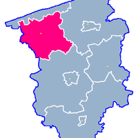
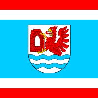
Gryfice County, Administrative district in West Pomeranian Voivodeship, Poland
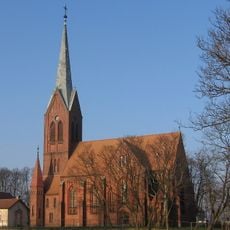
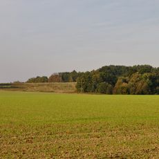
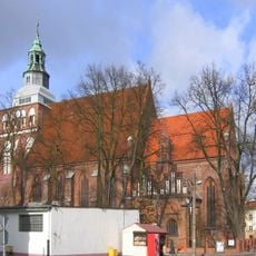
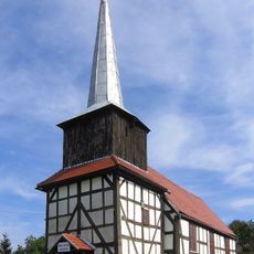
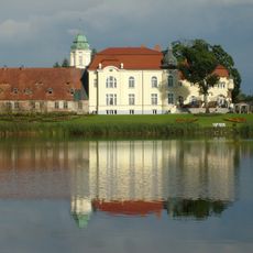
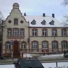
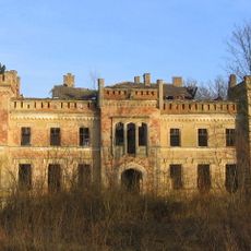
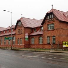
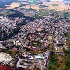
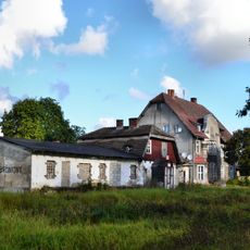
Gryfice County is an administrative district in West Pomeranian Voivodeship that encompasses both coastal areas and inland zones across several towns and rural settlements.The territory includes a mix of urban centers and agricultural regions with distinct local characteristics.
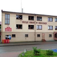
The district was restructured in 1999 during a major reform of local government in Poland designed to modernize the country's administrative divisions.This reorganization was part of a nationwide effort that reshaped many counties across the nation.
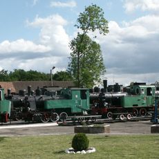
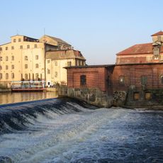
The area has deep roots in fishing and maritime trade, which you can see reflected in local shops and food traditions today.In the coastal towns, these practices shape how people work and spend their time.
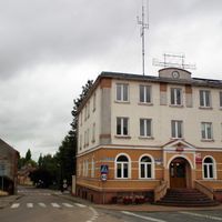
The area is located northeast of Szczecin and is accessible by car or public transportation, with coastal zones relatively easy to reach.Visitors can explore both urban centers and rural areas with reasonable ease of movement between different parts.
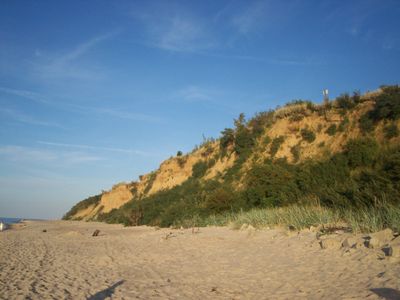
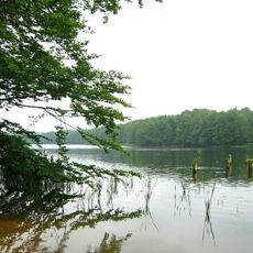
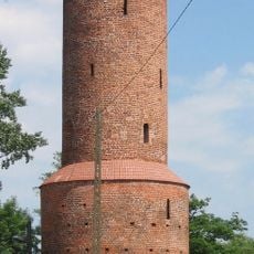
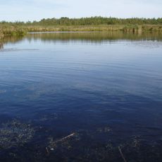
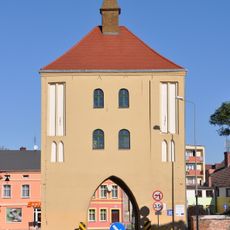
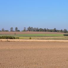
The territory blends natural coastal cliffs with modern towns and farmland in a landscape that shifts between urban development and open countryside.This geographic variety creates an unusual mix where different landscape types exist within short distances of each other.
Location: West Pomeranian Voivodeship
Capital city: Gryfice
Shares border with: Kamień County, Goleniów County, Kołobrzeg County, Łobez County
Website: http://gryfice.pl
GPS coordinates: 53.91472,15.19861
Latest update: December 8, 2025 13:44
Pomeranian Narrow Gauge Railways Museum in Gryfice
698 m
Orthodox church of the Dormition in Gryfice
522 m
Jezioro Rejowickie
7 km
Powder Tower in Gryfice
354 m
Stone Gate in Gryfice
319 m
Wysoka Gate in Gryfice
349 m
Chapel of St. George in Gryfice
966 m
Town walls in Gryfice
277 m
Sacred Heart church in Gryfice
546 m
Jezioro Łopianowskie
6.9 km
Muzeum i Galeria „Brama” w Gryficach
349 m
Muzeum Narodowe w Szczecinie, Wystawa Zachodniopomorskich Kolei Wąskotorowych
684 m
Lubieszowska Góra
1.6 km
Wiatrogóra
7.2 km
Church of the Assumption of the Blessed Virgin Mary in Gryfice
127 m
Kościół Matki Boskiej Różańcowej w Baszewicach
5.9 km
Our Lady of Częstochowa church in Rotnowo
5.9 km
Palace in Trzygłów
6.5 km
Cmentarz przykościelny w Rzęskowie
3 km
Poczta
389 m
Ks. Ruta 2
214 m
Kościół ewang., ob. rzym.-kat. Podwyższenia Krzyża Św.
7.2 km
Pałac w Otoku
7.2 km
Klub żołnierski (w zespole koszar)
593 m
Church ruins in Rzęskowo
3 km
Zespół młyna wodnego w Gryficach
172 m
Teren Starego Miasta, poł. XIII
73 m
Budynek administracyjny, ob. mieszkalny, XIX/XX
452 mVisited this place? Tap the stars to rate it and share your experience / photos with the community! Try now! You can cancel it anytime.
Discover hidden gems everywhere you go!
From secret cafés to breathtaking viewpoints, skip the crowded tourist spots and find places that match your style. Our app makes it easy with voice search, smart filtering, route optimization, and insider tips from travelers worldwide. Download now for the complete mobile experience.
A unique approach to discovering new places❞
— Le Figaro
All the places worth exploring❞
— France Info
A tailor-made excursion in just a few clicks❞
— 20 Minutes