Enable Location

We need your location to show you interesting places around you

Discover nearby places

Find interesting locations and hidden gems around you

Precise directions

Get accurate directions and distances to places

Your location is never shared with other users. It's only used when you tap the location button.

Log in to your account

Start exploring — it's free

Trusted by 64,030 travelers worldwide

Continue with Google
Continue with Apple
or

We will send you a code to connect

By continuing, you accept our Terms and Conditions and our Privacy Policy

Check your inbox

We've sent a pincode in your inbox. Please enter the code below.

Discussion Reviews Photo
7k Popularity

Gmina Trzebiatów, Medieval town in West Pomeranian Voivodeship, Poland.

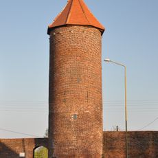
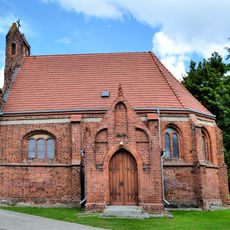
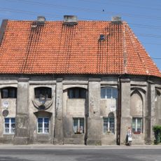
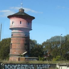
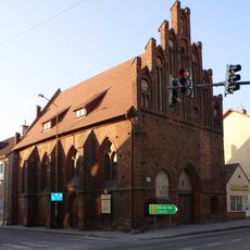
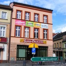
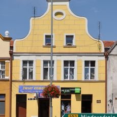
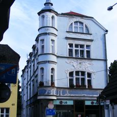
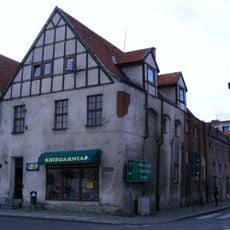
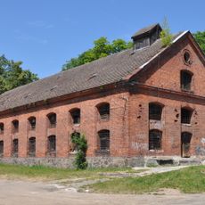
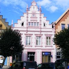
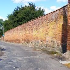
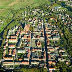
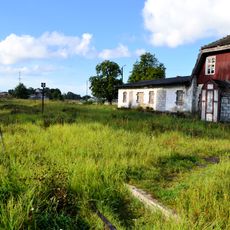
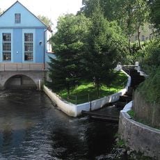
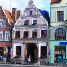
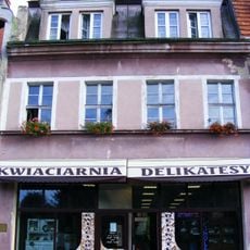
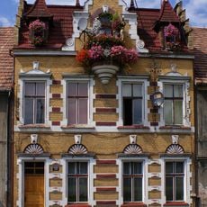
Gmina Trzebiatów is a settlement along the Rega River featuring Gothic structures, defensive fortifications, and a central market square surrounded by merchant dwellings. The town spreads across this riverbank landscape with buildings that reflect different periods of growth.

The settlement gained town status under Lübeck Law in 1277 and joined the Hanseatic League in 1416, linking it with major Baltic trading hubs. This membership shaped its growth as a significant commercial crossroads in the region.

The buckwheat festival happens every August and marks a defensive moment from the past that shaped the town's identity. Local residents gather for this celebration that connects them to their shared history.

The town sits roughly 9 kilometers inland from the coast and connects easily by bus to larger cities nearby. Visitors should bring sturdy shoes since cobbled streets and riverside paths can be uneven underfoot.

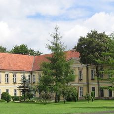
A palace structure once housed Polish writer Maria Wirtemberska and showcases the shift from a medieval fortress to an aristocratic residence. This architectural transformation reveals how the place evolved through different periods of its past.

The community of curious travelers

AroundUs brings together thousands of curated places, local tips, and hidden gems, enriched daily by 60,000 contributors worldwide.

Start exploring
Location
Shares border with
Gmina Kołobrzeg, Gmina Rewal, Gmina Karnice, Gmina Gryfice, Gmina Brojce, Gmina Siemyśl
GPS coordinates
54.05722,15.27861
Latest update
December 10, 2025 15:48
Reviews
Share your experience

No review yet

Discussions
Start a discussion...

No discussion yet

« Gmina Trzebiatów - Medieval town in West Pomeranian Voivodeship, Poland » is provided by Around Us (aroundus.com). Images and texts are derived from Wikimedia project under a Creative Commons license. You are allowed to copy, distribute, and modify copies of this page, under the conditions set by the license, as long as this note is clearly visible.

Discover hidden gems everywhere you go!

From secret cafés to breathtaking viewpoints, skip the crowded tourist spots and find places that match your style. Our app makes it easy with voice search, smart filtering, route optimization, and insider tips from travelers worldwide. Download now for the complete mobile experience.

Around Us App Screenshot

A unique approach to discovering new places

Le Figaro

All the places worth exploring

France Info

A tailor-made excursion in just a few clicks

20 Minutes

Around Us
Travel Guide & Maps
Download

Send to your phone

QR Code
1

Open the camera app on your mobile.

2

Point at the QR code with your camera. A notification will appear.

3

Tap the notification to open the link.