Gmina Zbrosławice, Administrative district in Silesian Voivodeship, Poland
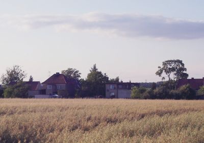
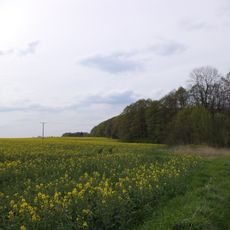
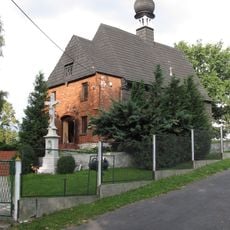
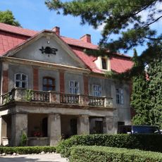
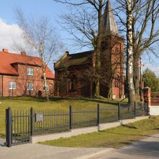
Gmina Zbrosławice is a rural administrative district in the Silesian Voivodeship that covers approximately 148 square kilometers and encompasses 21 villages and settlements. The municipal center is located in the village of Zbrosławice, where residents access government services and local administration.
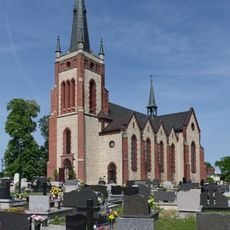
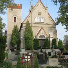
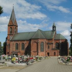
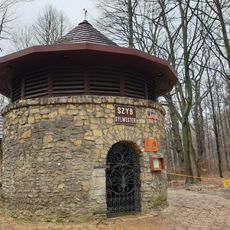
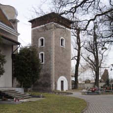
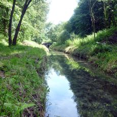
This area was historically known by its German name Broslawitz and took its current administrative form during Poland's post-war restructuring. Today it functions as a farming district shaped by its position in the industrial heartland of Upper Silesia.
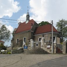
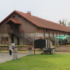
The municipality hosts regular gatherings in its village centers where locals trade and celebrate seasonal events that connect the farming community. These everyday meeting places remain central to how residents maintain bonds with their neighbors and share daily life.
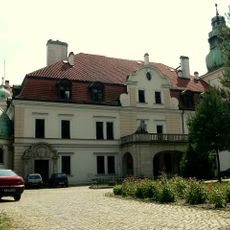
Most services and administrative functions are concentrated in the village of Zbrosławice, which serves as the municipal seat. The area has limited public transportation, so a car is practical if you want to explore multiple villages or experience the full scope of the district.
Despite its rural character, this district sits adjacent to several major industrial cities including Bytom and Gliwice, creating an unusual contrast. Visitors can easily move between peaceful village life and the bustle of nearby urban centers without traveling far.
The community of curious travelers
AroundUs brings together thousands of curated places, local tips, and hidden gems, enriched daily by 60,000 contributors worldwide.