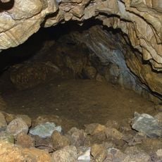
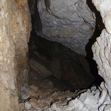
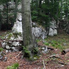
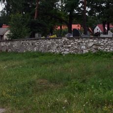
Gmina Poraj, Rural municipality in Myszków County, Poland
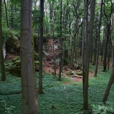
Gmina Poraj is a rural municipality in the Silesian region of southern Poland. The area encompasses several villages and hamlets connected by country roads and local pathways.
Poraj was established as a local administrative unit to organize the villages of the area within a coherent system. This structure allowed communities to manage their own affairs within Myszków County.
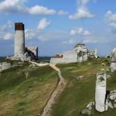
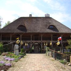
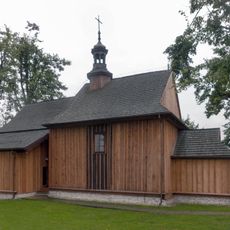
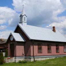
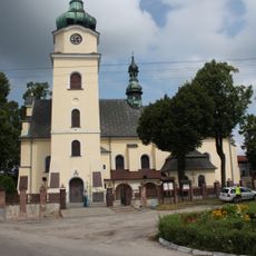
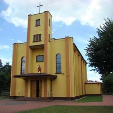
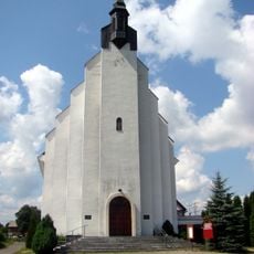
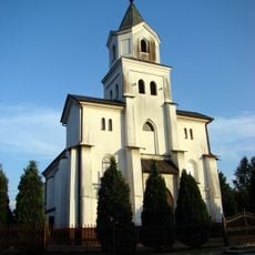
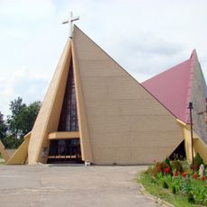
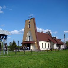
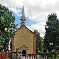
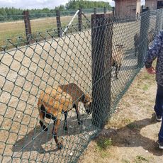
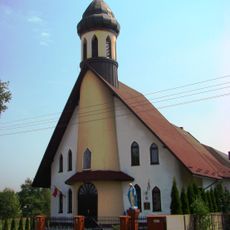
The municipality incorporates twelve distinct settlements including Choroń, Jastrząb, and Masłońskie, each maintaining their local traditions within the Silesian region.
Visitors can explore the villages by car or bicycle, with local roads connecting the different settlements. The best time to visit is during warmer months when road conditions are most favorable.
The area borders several different gminas and the town of Myszków, creating a varied patchwork of local administrative areas. This location allows for insights into multiple rural communities situated in close proximity to one another.
Location: Myszków County
Shares border with: Gmina Kamienica Polska, Gmina Koziegłowy, Myszków, Gmina Olsztyn, Gmina Żarki
Website: http://poraj.ug.pl
GPS coordinates: 50.67889,19.21611
Latest update: December 10, 2025 15:46
Olsztyn Castle
8.9 km
Rezerwat przyrody Sokole Góry
7.2 km
Biakło
7.1 km
Old Granary in Olsztyn
9.2 km
Church of St. Giles in Zrębice
9.3 km
Mariavite chapel in Koziegłowy
9.5 km
Saint Nicholas church in Przybynów
7.3 km
Sacred Heart church in Poraj
603 m
Dziewica
9 km
Church of St. John the Baptist in Olsztyn
9 km
Church of Karolina Kózka in Wanaty
6.1 km
Church of Saint Michael Archangel in Kamienica Polska
4.5 km
Corpus Christi church in Wrzosowa
8.5 km
Our Lady of Mercy church in Jastrząb
2.6 km
Saint John the Baptist church in Choroń
2.9 km
Agrogospodarstwo "Pod Skałką". Agroskałka
7.6 km
Saint Thomas the Apostle church in Osiny
2.3 km
Szafa
8.9 km
Osikowa Dolina
9.5 km
Jaskinia Lisia w Hajduczce
8 km
Schronisko w Zaborzu
8 km
Magazyn Cave
8.9 km
W Kielnikach Cave
9.2 km
Cemetery in Olsztyn, Silesian Voivodeship
9.2 km
Wooden bell tower in Zrębice
9.3 km
Nature reserve Sokole Góry
7.2 km
Ogrodzenie
9.2 km
Zespół cmentarza rzym.-kat.
9.2 kmVisited this place? Tap the stars to rate it and share your experience / photos with the community! Try now! You can cancel it anytime.
Discover hidden gems everywhere you go!
From secret cafés to breathtaking viewpoints, skip the crowded tourist spots and find places that match your style. Our app makes it easy with voice search, smart filtering, route optimization, and insider tips from travelers worldwide. Download now for the complete mobile experience.
A unique approach to discovering new places❞
— Le Figaro
All the places worth exploring❞
— France Info
A tailor-made excursion in just a few clicks❞
— 20 Minutes