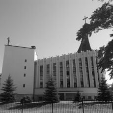
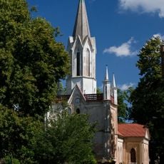
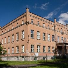
Kostrzyn nad Odrą, Border town in western Poland
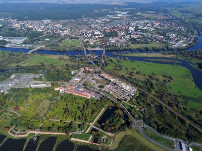
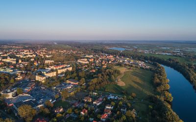
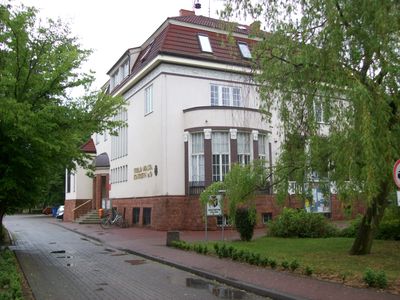
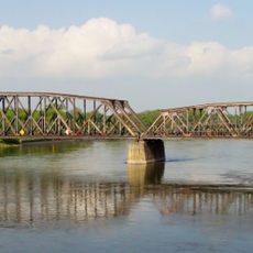
Kostrzyn nad Odrą is a town in western Poland where the Warta River flows into the Oder River, forming a natural frontier with Germany. This location at the meeting of two major waterways has made the settlement a key crossing and trading post for centuries.
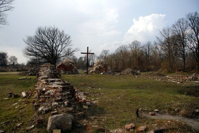
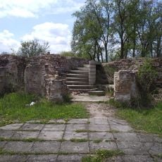
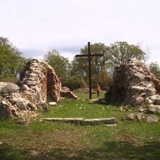
A written record first mentions the settlement in 1201, and it later came under Templar control. The medieval center was completely destroyed during World War II and never rebuilt afterward.
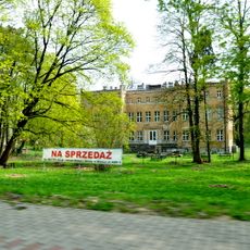
The city underwent a significant demographic transformation after 1945 when German residents left and Polish refugees from Soviet-annexed territories established new communities.
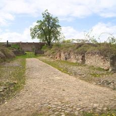
A public park now displays the foundations and cellars of former buildings, with signs marking earlier street names and locations. The site is freely accessible and can be explored on foot.
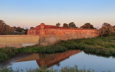
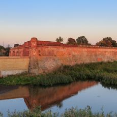
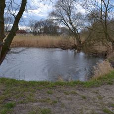
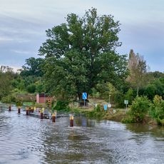
The 17th-century fortress grounds now lie within the Warta Mouth Landscape Park, where traces of old fortifications appear among reedbeds and wetland meadows. The water channels and moats from the earlier defense lines remain partly visible today.
Inception: 13 century
Elevation above the sea: 45 m
Shares border with: Küstrin-Kietz
Website: http://kostrzyn.pl
GPS coordinates: 52.58833,14.66667
Latest update: December 13, 2025 19:01
Kostrzyn nad Odrą Fortress
2.8 km
Fort Sarbinowo
3.7 km
Kostrzyn nad Odrą Castle
2.5 km
Tamsel
4.5 km
Ruins of Saint Mary Church in Kostrzyn nad Odrą
2.4 km
Church of the Assumption in Sarbinowo
7.7 km
Kostrzyn-Kietz railway border crossing
2.9 km
Kościół Najświętszej Maryi Panny Matki Kościoła w Kostrzynie nad Odrą
394 m
Kościół ewangelicki, ob. rzym.-kat. Wniebowzięcia NMP
7.7 km
Mittlere Oderniederung
3 km
Saint Joseph church in Dąbroszyn
4.4 km
Basen miejski
1.8 km
Pawilon parkowy, tzw. Świątynia Cecylii
4.6 km
Zespół pałacowy w Dąbroszyniu
4.4 km
Pałac w Dąbroszyniu
4.3 km
Spichlerz II
1.2 km
Spichlerz I
1.2 km
Park
4.3 km
Cmentarz przykościelny w Sarbinowie
7.7 km
Kaplica cmentarna ewangelicka, ob. rzym.-kat. Najśw. Serca Pana Jezusa
402 m
Naturdenkmal Stiel-Eiche Nordostufer Oderinsel, ca. 110 m südöstlich der Straßenbrücke in Küstrin-Kietz
2.8 km
Zespół spichlerzy
1.2 km
Fortyfikacje ziemno-murowane
1.2 km
Gołębnik
4.5 km
Baszta
4.8 km
Muzeum Twierdzy Kostrzyn nad Odrą
2.4 km
Pawilon ogrodowy, tzw. świątynia Zofii
4.4 km
Oficyna folwarczma
4.5 kmVisited this place? Tap the stars to rate it and share your experience / photos with the community! Try now! You can cancel it anytime.
Discover hidden gems everywhere you go!
From secret cafés to breathtaking viewpoints, skip the crowded tourist spots and find places that match your style. Our app makes it easy with voice search, smart filtering, route optimization, and insider tips from travelers worldwide. Download now for the complete mobile experience.
A unique approach to discovering new places❞
— Le Figaro
All the places worth exploring❞
— France Info
A tailor-made excursion in just a few clicks❞
— 20 Minutes