Enable Location

We need your location to show you interesting places around you

Discover nearby places

Find interesting locations and hidden gems around you

Precise directions

Get accurate directions and distances to places

Your location is never shared with other users. It's only used when you tap the location button.

Piła

Log in to your account

Start exploring — it's free

Trusted by 61,476 travelers worldwide

Continue with Google
Continue with Apple
or

We will send you a code to connect

By continuing, you accept our Terms and Conditions and our Privacy Policy

Check your inbox

We've sent a pincode in your inbox. Please enter the code below.

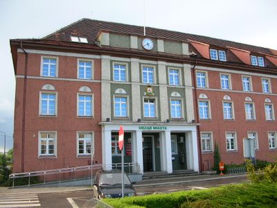
Piła, Urban municipality in Greater Poland Voivodeship, Poland.

Description

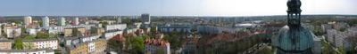
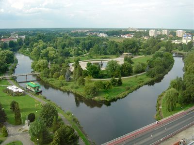
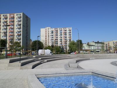
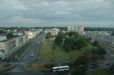
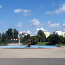
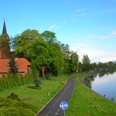
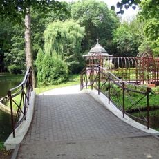
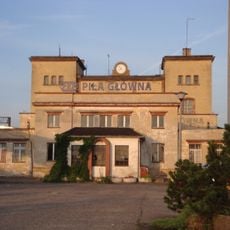
Piła is a town in Greater Poland Voivodeship that sits on railway routes linking Poznań with Szczecin and Bydgoszcz with Krzyż Wielkopolski. Around 71,846 people live in this transport junction, which lies near large forested areas and includes several parks within its boundaries.

History

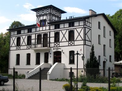
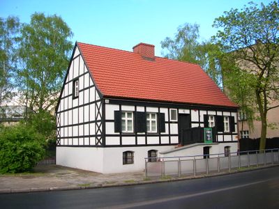
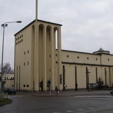
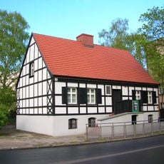
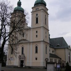
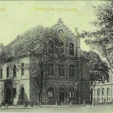
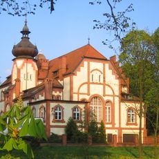
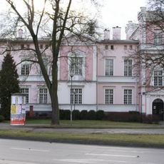
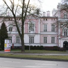
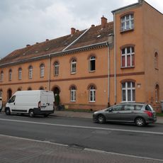
The settlement grew from a fishing village and received royal town status under King Casimir IV Jagiellon, gaining self-government and judicial rights. Over the following centuries the town changed hands several times, shaping the mix of building styles visible today.

Culture

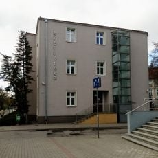
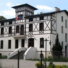
Both the German name Schneidemühl and the Polish name Piła refer to sawmills, recalling the timber trade that shaped the town's early economy. Today the streets preserve buildings from different periods, reflecting the layers of settlement and use over the centuries.

Practical

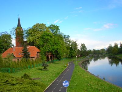
The town is easy to reach by rail because several lines intersect here, and regional buses connect surrounding villages. Visitors will find parks for walking within the town, while nearby forests offer trails for longer outings.

Did you know?

In the 19th century a project to drill an artesian well went badly wrong and flooded large parts of the town. The water burst out uncontrolled and had to be sealed off, an event still remembered in local accounts.

Location
Elevation above the sea
60 m
Shares border with
Gmina Ujście, Gmina Kaczory, Gmina Trzcianka, Gmina Szydłowo, Gmina Krajenka
Website
GPS coordinates
53.15000,16.73333
Latest update
December 12, 2025 22:11

AroundUs brings together thousands of curated places, local tips, and hidden gems, enriched daily by 60,000 contributors worldwide. Discover all places nearby (Piła County).

« Piła - Urban municipality in Greater Poland Voivodeship, Poland » is provided by Around Us (aroundus.com). Images and texts are derived from Wikimedia project under a Creative Commons license. You are allowed to copy, distribute, and modify copies of this page, under the conditions set by the license, as long as this note is clearly visible.

Discover hidden gems everywhere you go!

From secret cafés to breathtaking viewpoints, skip the crowded tourist spots and find places that match your style. Our app makes it easy with voice search, smart filtering, route optimization, and insider tips from travelers worldwide. Download now for the complete mobile experience.

Around Us App Screenshot

A unique approach to discovering new places

Le Figaro

All the places worth exploring

France Info

A tailor-made excursion in just a few clicks

20 Minutes

Around Us
Travel Guide & Maps
Download

Send to your phone

QR Code
1

Open the camera app on your mobile.

2

Point at the QR code with your camera. A notification will appear.

3

Tap the notification to open the link.