Szczytno County, Administrative district in Warmian-Masurian Voivodeship, Poland.
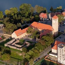
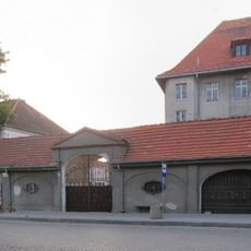
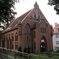
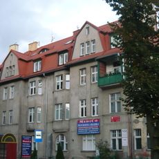
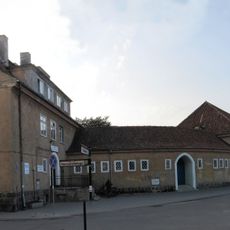
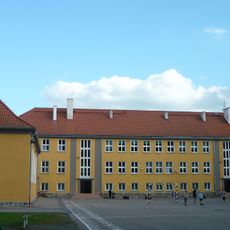
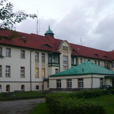
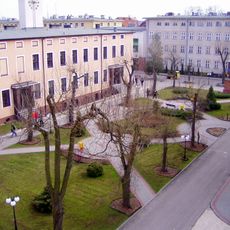
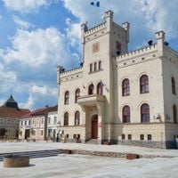
Szczytno County is an administrative district in northern Poland's Warmian-Masurian Voivodeship, covering roughly 1,900 square kilometers across two towns and six rural municipalities. The county seat of Szczytno serves as the main center for regional services and administration.
The county's current structure emerged from Polish administrative reforms in 1998, which took effect on January 1, 1999. These changes replaced the previous administrative system and established the boundaries still in place today.
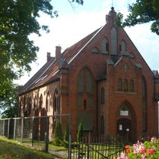
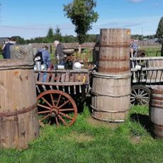
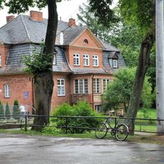
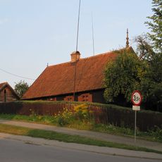
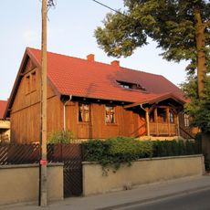
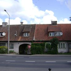
The region centers on farming and rural traditions visible across its countryside today. Local communities maintain historical agricultural practices that shape how the land is used and cared for.
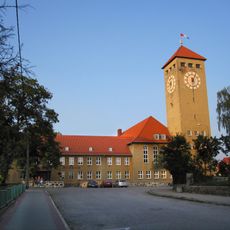
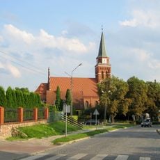
The county is connected by regional roads that link it to nearby areas, making travel straightforward. Szczytno, as the main center, provides essential services and facilities for visitors and residents alike.
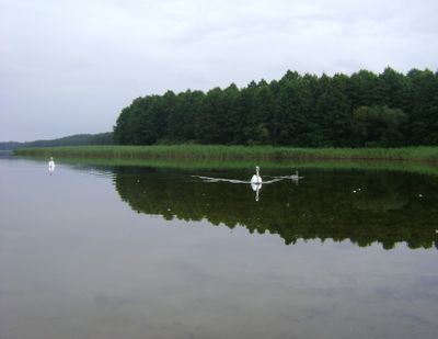
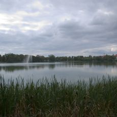
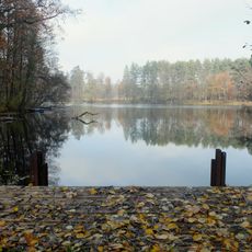
Several lakes dot the landscape of this region, including Lake Brajnickie where water activities are popular. These natural features provide recreational opportunities for visitors during the summer season.
Location: Warmian-Masurian Voivodeship
Capital city: Szczytno
Shares border with: Nidzica County, Olsztyn County, Mrągowo County, Pisz County, Ostrołęka County, Przasnysz County
Website: http://powiat.szczytno.pl
GPS coordinates: 53.56278,20.98528
Latest update: December 10, 2025 15:49
Stare Kiejkuty
9.8 km
Castle in Szczytno
534 m
Town Hall in Szczytno
498 m
Jezioro Domowe Małe
794 m
Church of the Assumption in Szczytno
1 km
Muzeum Mazurskie w Szczytnie
510 m
Browar w Szczytnie
894 m
Evangelical church in Szczytno
616 m
Baptist Church in Szczytno
666 m
Kościół św. Stanisława Kostki w Szczytnie
190 m
Jewish cemetery in Szczytno
1.1 km
Młyński Staw
5.6 km
Giełda staroci
8.8 km
Cmentarz ewangelicko-augsburski, ob. komunalny
1.7 km
Brewery in Szczytno
863 m
Zbór Kościoła Chrześcijan Baptystów w Szczytnie
666 m
Water tower in Szczytno
421 m
Kościół św. Stanisława Kostki, Niepodległości 11 w Szczytnie
192 m
Plebania, Marii Konopnickiej 72 w Szczytnie
1 km
Dom (chałupa)
1 km
Curie-Skłodowskiej 3
496 m
Dom (chałupa)
995 m
Sala gimnastyczna z łącznikiem
324 m
Szkoła (z salą gimnastyczną i łącznikiem)
434 m
Szpital
596 m
Zespół koszar, ob. szkoła policyjna
1.8 km
Zajazd, ob. dom
209 m
Pofajdok Skate
518 mVisited this place? Tap the stars to rate it and share your experience / photos with the community! Try now! You can cancel it anytime.
Discover hidden gems everywhere you go!
From secret cafés to breathtaking viewpoints, skip the crowded tourist spots and find places that match your style. Our app makes it easy with voice search, smart filtering, route optimization, and insider tips from travelers worldwide. Download now for the complete mobile experience.
A unique approach to discovering new places❞
— Le Figaro
All the places worth exploring❞
— France Info
A tailor-made excursion in just a few clicks❞
— 20 Minutes