Ciężkowice, Historical city in Lesser Poland Voivodeship, Poland
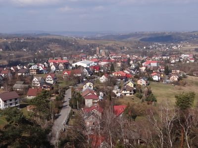
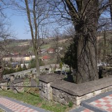
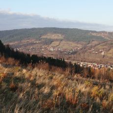
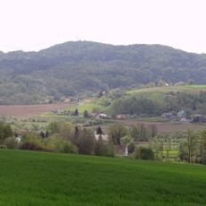
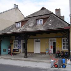
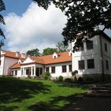
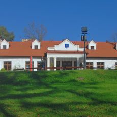
Ciężkowice is a town in Lesser Poland Voivodeship situated along the Biała river in a region known for sandstone hills. The settlement features traditional architecture that reflects centuries of local building practices and community development.
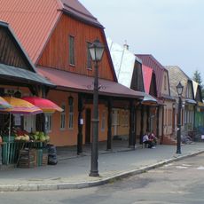
The town received Magdeburg rights in 1348 from King Kazimierz Wielki, which transformed it into a regional trading hub. These privileges allowed it to flourish as a key commercial point connecting Hungary with Kraków during the medieval period.
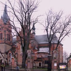
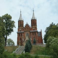
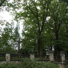
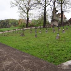
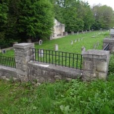
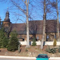
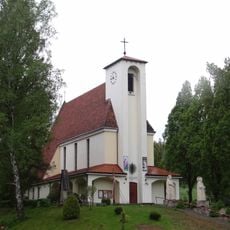
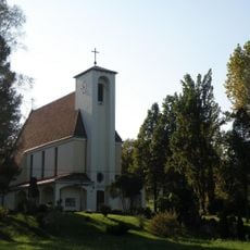
The St. Andrew parish church from the 14th century remains the focal point of community life today. Walking through the town, you can see how this building still anchors local identity and gathers people for celebrations and gatherings.
The town is accessible via regional road 977, and the rail station provides connections to Tarnów and other regional destinations. Visitors will find local accommodations and restaurants serving traditional cuisine throughout the settlement.
Near the town sits the Petrified City Nature Reserve, featuring unusual sandstone rock formations locally named Town Hall and Lower Fortress. These geological structures reveal the ancient natural history of the region in ways that surprise most visitors.
Location: Gmina Ciężkowice
Website: http://ciezkowice.pl
GPS coordinates: 49.80000,20.96667
Latest update: December 7, 2025 10:08
Sanctuary in Ciężkowice
1.5 km
St. John the Baptist Church in Rzepiennik Biskupi
6.1 km
World War I Cemetery nr 119 in Staszkówka
6.7 km
Krystyna and Włodzimierz Tomek Natural Science Museum in Ciężkowice
1.1 km
Church of the Assumption in Rzepiennik Biskupi
6.1 km
World War I Cemetery nr 117 in Staszkówka
5.9 km
Saint Martin church in Gromnik
4.4 km
World War I Cemetery nr 135 in Zborowice
4.3 km
World War I Cemetery nr 141 in Ciężkowice
3.4 km
Wierch Stróża
359 m
Grunwald
2.5 km
World War I Cemetery nr 139 in Tursko-Łosie
1.3 km
World War I Cemetery nr 116 in Staszkówka-Dawidówka
5.3 km
Saint Bartholomew church in Jastrzębia
5.1 km
World War I Cemetery nr 136 in Zborowice
4.7 km
Ciężkowice town hall
1.6 km
Kościół parafialny Miłosierdzia Bożego w Rzepienniku Strzyżewskim
3.8 km
Nosalowa (Pogórze Ciężkowickie)
6.5 km
Kościół parafialny św. Marii Magdaleny w Zborowicach
4.3 km
Divine Mercy church in Rzepiennik Strzyżewski
3.8 km
Rezerwat przyrody Skamieniałe Miasto
2.6 km
Dwór Ignacego Jana Paderewskiego w Kąśnej Dolnej
2.6 km
Manor house of Ignacy Paderewski in Kąśna Dolna
2.6 km
Kapliczka św. Floriana, Rynek 19 w Ciężkowicach
1.6 km
Rynek 15
1.7 km
Zespół dworski
4.5 km
Dwór
4.5 km
Układ urbanistyczny
1.6 kmVisited this place? Tap the stars to rate it and share your experience / photos with the community! Try now! You can cancel it anytime.
Discover hidden gems everywhere you go!
From secret cafés to breathtaking viewpoints, skip the crowded tourist spots and find places that match your style. Our app makes it easy with voice search, smart filtering, route optimization, and insider tips from travelers worldwide. Download now for the complete mobile experience.
A unique approach to discovering new places❞
— Le Figaro
All the places worth exploring❞
— France Info
A tailor-made excursion in just a few clicks❞
— 20 Minutes