Radomierzyce, Village in Gmina Zgorzelec, Poland
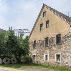
Radomierzyce is a village in the Lower Silesian Voivodeship in southwestern Poland near the German border. It sits about 10 kilometers south of Zgorzelec and spans land with typical rural character.
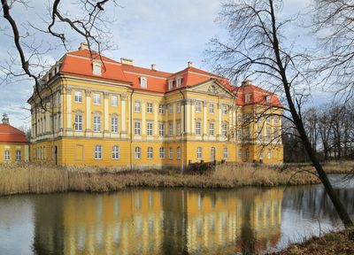
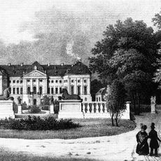
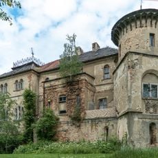
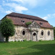
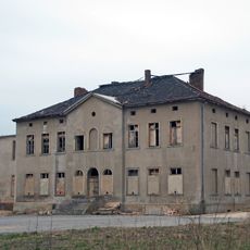
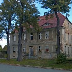
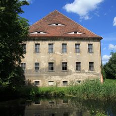
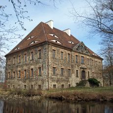
The place was first mentioned in 1249 and reached its peak in the early 18th century when a Baroque palace was built between 1710 and 1732. That palace was commissioned by Joachim Ziegler-Klipphausen, chamberlain to King Augustus II.
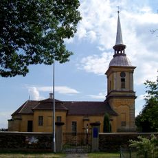
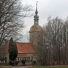
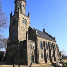
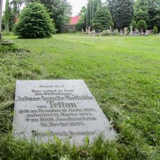
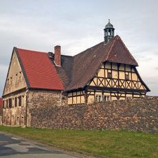
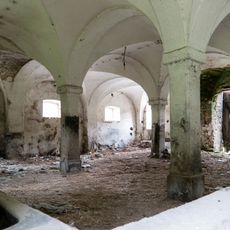
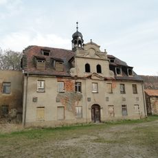
The Church of Saints Peter and Paul shapes the village with its Baroque style and shows how residents have maintained religious traditions over time. The adjacent mausoleum space connects visitors to the families who once ruled this area.
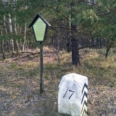
The village sits in the area with postal code 59-914 and carries vehicle registration prefix DZG. As a rural settlement, visitors should be prepared for simple road connections and traditional facilities.
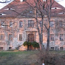
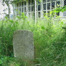
The former manor house survives and shows how wealthy families once built such impressive residences as signs of their status. Today visitors can still see the remains of this aristocratic past in the landscape.
The community of curious travelers
AroundUs brings together thousands of curated places, local tips, and hidden gems, enriched daily by 60,000 contributors worldwide.