Oborniki Śląskie, Municipality in Lower Silesian Voivodeship, Poland.
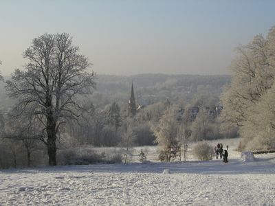
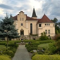
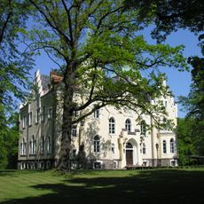
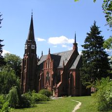
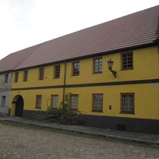
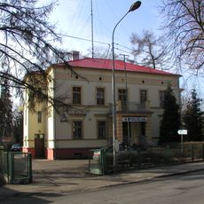
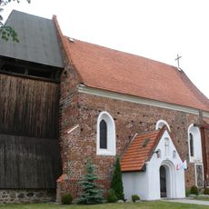
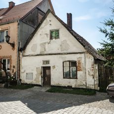
Oborniki Śląskie is a town in Lower Silesian Voivodeship, located northwest of Wrocław on elevated terrain. The settlement sits approximately 170 meters above sea level and is surrounded by forest areas.
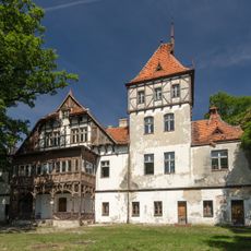
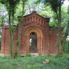
The settlement originates from the Mesolithic period, with earliest written records appearing in 1305 when it was documented as 'Obora' in Latin texts. In 1835, the town acquired the new name Bad Obernigk and commenced its development as a spa destination.
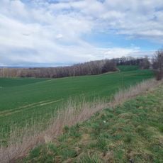
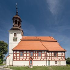
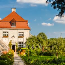
The town's coat of arms features a green spruce tree on a yellow background, reflecting the surrounding forest landscape and regional literary traditions. Local residents maintain a connection to these natural roots through their daily relationship with the forested surroundings.
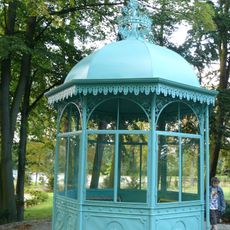
The town provides access to various recreational activities and regular events throughout the year for visitors and residents alike. It is helpful to check with local information points for current programs and details about the community gatherings.
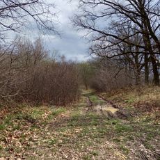
The original name 'Obora' derives from Slavic meaning 'enclosure' or 'animal pen', reflecting the settlement's early function. This name hints that the area once served as a hunting ground and livestock region of importance.
Location: Gmina Oborniki Śląskie
Elevation above the sea: 170 m
Website: http://oborniki-slaskie.pl
GPS coordinates: 51.30222,16.90889
Latest update: December 7, 2025 10:06
Uraz Castle
7.7 km
Salvatorian Seminary Bagno, Lower Silesian Voivodeship
7.5 km
Palace in Pęgów
6.5 km
"New Castle" in Bagno
7.4 km
Palace in Brzeźno, Lower Silesian Voivodeship
7.2 km
Palace in Wielka Lipa
4.4 km
Saints Jude Thaddeus and Anthony of Padua church in Oborniki Śląskie
877 m
Saint Michael Archangel church in Uraz
7.6 km
Church of the Holy Heart of Jesus in Oborniki Śląskie
498 m
Palace in Rościsławice
4.9 km
Palace in Siemianice, Lower Silesian Voivodeship
2.1 km
Farny Upłaz
7.7 km
Długa Łąka (Wzgórza Trzebnickie)
4.2 km
Mauzoleum rodu von Lauterbach
3.6 km
Dom, d. fabryka skóry
7.6 km
Willa
384 m
Exaltation of the Holy Cross church in Rościsławice
5.4 km
Holy Trinity church in Lubnów
4.9 km
Ogrodzenie kościelne w Rościsławicach
5.4 km
Zespół rekreacyjno-parkowy (dec. zespół pałacowy) w Rościsławicach
5.8 km
Gospoda, ob. dom pomocy społecznej (dec. pałac)
5.6 km
Dom, XVIII/XIX
7.6 km
Dom, XVII/XVIII
7.5 km
Altana
7.4 km
Dom ogrodnika
7.3 km
Brama kościelna w Rościsławicach
5.4 km
Stróżówka z bramą
7.4 km
Garaż z bramą
7.5 kmReviews
Visited this place? Tap the stars to rate it and share your experience / photos with the community! Try now! You can cancel it anytime.
Discover hidden gems everywhere you go!
From secret cafés to breathtaking viewpoints, skip the crowded tourist spots and find places that match your style. Our app makes it easy with voice search, smart filtering, route optimization, and insider tips from travelers worldwide. Download now for the complete mobile experience.
A unique approach to discovering new places❞
— Le Figaro
All the places worth exploring❞
— France Info
A tailor-made excursion in just a few clicks❞
— 20 Minutes