Masurian Lake District, Lake district in northeastern Poland
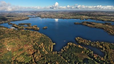
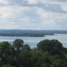
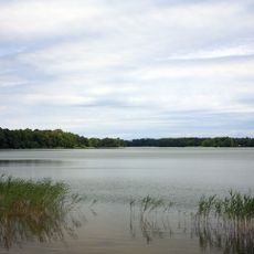
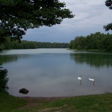
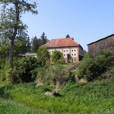
The Masurian Lake District is a region in northeastern Poland comprising over 2000 interconnected lakes formed by glacial movements during the ice age. The landscape features rolling hills spread across approximately 52,000 square kilometers, shaped by a complex network of waterways.
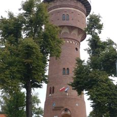
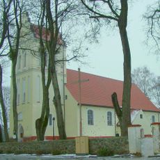
Following World War II in 1945, the Potsdam Agreement transferred this former East Prussian territory to Polish administration after centuries under Prussian rule. This political shift shaped the region's current identity and cultural development.
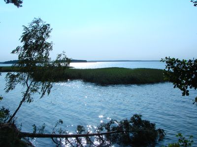
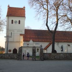
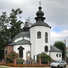
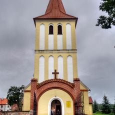
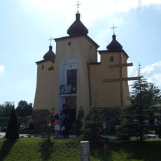
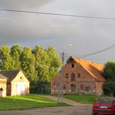
The region maintains its Masurian identity through traditional fishing methods, regional celebrations, and local cuisine centered on freshwater fish. Visitors can experience this connection to water and land while walking through small villages and along lakeshores.
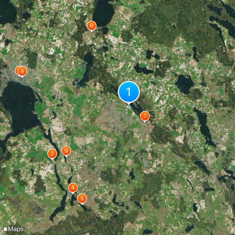
The region is well connected through Olsztyn-Mazury Airport or rail links from Warsaw. Water routes and hiking trails crisscross the area, making different lakes and small towns easy to explore.
The lakes connect through an extensive network of rivers and canals that stretches roughly 290 kilometers from the Vistula River eastward. This natural water system lets visitors explore many different lakes through a single continuous route.
Location: Warmian-Masurian Voivodeship
Location: Podlaskie Voivodeship
Location: Kaliningrad Oblast
GPS coordinates: 54.00000,22.00000
Latest update: December 14, 2025 20:14
FM/TV Mast Miłki
12.3 km
Water tower in Giżycko
15 km
Ublik Wielki
13.6 km
Ublik Mały
14.3 km
Church of the Assumption of Virgin Mary in Kruklanki
11.1 km
Redeemer church in Wydminy
2.9 km
Holy Trinity church in Giżycko
14.6 km
Kirche der Mutter Gottes, der Königin von Polen
10.6 km
Saint Demetrius Orthodox church in Kruklanki
11.2 km
Kościół Trójcy Przenajświętszej w Starych Juchach
14.3 km
Dreifaltigkeitskirche
14.3 km
Saint Josaphat Kuntsevych church in Kruklanki
11.3 km
Rezerwat przyrody Jezioro Kożuchy
7.5 km
Cmentarz ewangelicki rodzinny w Ubliku
14.6 km
World War I Cemetery in Kruklanki
11.3 km
World War I Cemetery in Marcinowa Wola
14 km
Park
6.8 km
Church of the Immaculate Heart of Mary in Stare Juchy
14.3 km
Park dworski z przyległym terenem zabudowy mieszkalnej i gospodarczej
10.5 km
Cmentarz ewangelicki rodzinny w Brożówce
10.6 km
Dom (apteka)
3.1 km
13 Białostocka Street in Giżycko
14.5 km
Zespół dworski i folwarczny
7 km
Zespół kościoła ewangelickiego, ob. rzym.-kat. Wniebowzięcia NMP, XVII
11.1 km
Magazyn
7 km
Obora I
7 km
Gorzelnia
7 km
Dwór
7 kmVisited this place? Tap the stars to rate it and share your experience / photos with the community! Try now! You can cancel it anytime.
Discover hidden gems everywhere you go!
From secret cafés to breathtaking viewpoints, skip the crowded tourist spots and find places that match your style. Our app makes it easy with voice search, smart filtering, route optimization, and insider tips from travelers worldwide. Download now for the complete mobile experience.
A unique approach to discovering new places❞
— Le Figaro
All the places worth exploring❞
— France Info
A tailor-made excursion in just a few clicks❞
— 20 Minutes