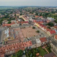
Podlaskie Voivodeship, Administrative division in northeastern Poland
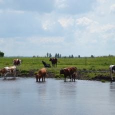
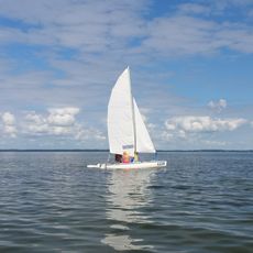
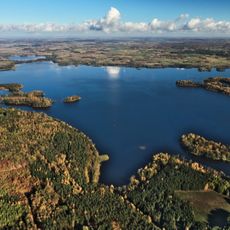
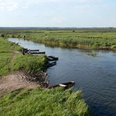
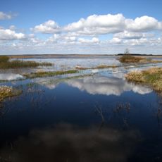
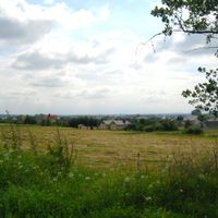
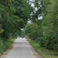
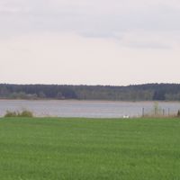
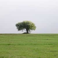
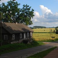
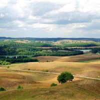
Podlaskie Voivodeship is an administrative unit in northeastern Poland that spreads across a wide area with rivers, lakes, and large forests. The landscape ranges from flat plains in the west to gently rolling hills in the east, where marshes and undisturbed river courses shape the terrain.
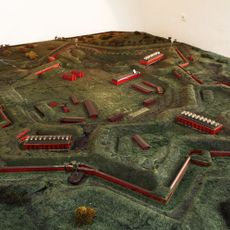
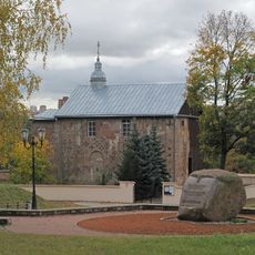
The current regional division was created in 1999 when three older administrative units were merged to simplify regional governance. Before that, boundaries shifted many times over centuries, depending on which power controlled the area.
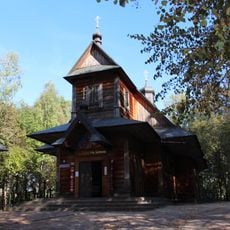
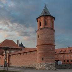
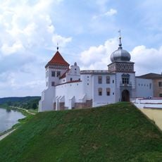
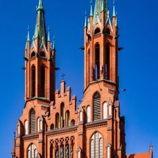
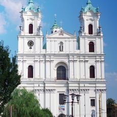
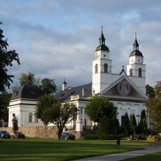
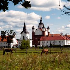
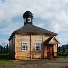
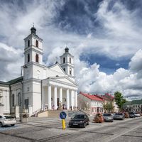
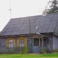
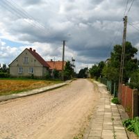
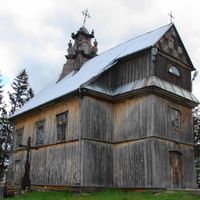
In the eastern districts, many residents speak Belarusian or Lithuanian alongside Polish in daily life and maintain Orthodox or Catholic traditions in local churches. The wooden architecture of many villages shows the influence of different faiths, with Orthodox onion domes standing near Catholic bell towers.
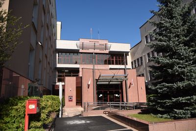
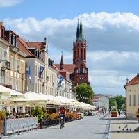
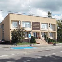
Most public services and offices are located in the capital, which is accessible by bus or train from smaller towns. Outside the major centers, roads are often quieter and the pace of administration slower.
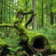
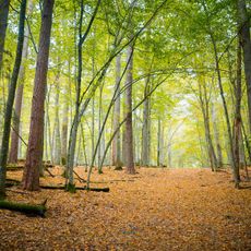
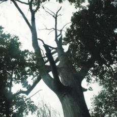
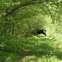
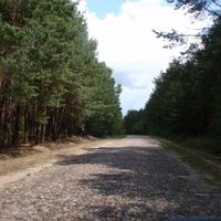
The Białowieża Forest is home to free-roaming European bison, the continent's largest land mammals, in one of its oldest woodland landscapes. This primeval forest survived ice ages and shelters tree giants that are several centuries old.
The community of curious travelers
AroundUs brings together thousands of curated places, local tips, and hidden gems, enriched daily by 60,000 contributors worldwide.