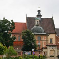
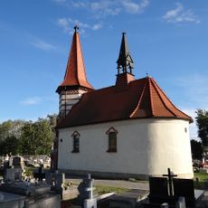
Gmina Niepołomice, Administrative division in Wieliczka County, Poland.
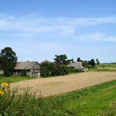
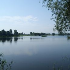
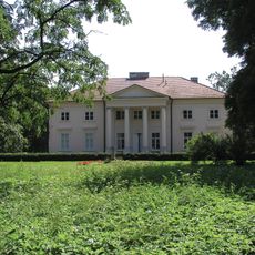
Gmina Niepołomice is a municipality in Lesser Poland Voivodeship that contains both urban and rural areas within its boundaries. The administrative center sits in Niepołomice town, which forms the core of this mixed settlement pattern.
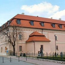
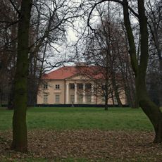
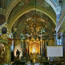
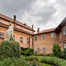
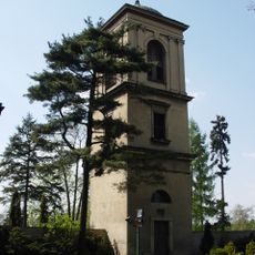
The territory gained importance in the 13th century when Niepołomice became a royal town with a castle built for Polish rulers. This castle served as a royal hunting lodge and remains the dominant landmark in the town's layout.
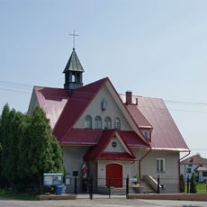
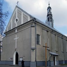
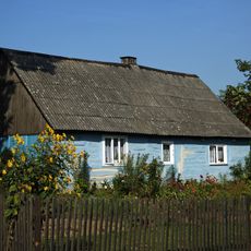
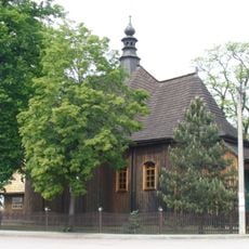
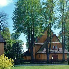
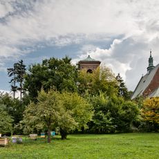
The area maintains regional craft traditions and local customs that visitors can see during seasonal markets and community celebrations. Daily life blends urban conveniences with rural character throughout the interconnected neighborhoods.
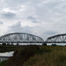
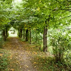
The area is best explored on foot or by bicycle since distances between neighborhoods are manageable. Local buses connect the various villages and neighborhoods regularly throughout the day.
The castle displays architectural details from different periods because it was rebuilt and expanded multiple times over centuries. Walkers through town can clearly see the layered building styles when examining the structure.
Location: Wieliczka County
Shares border with: Gmina Biskupice, Gmina Drwinia, Gmina Gdów, Gmina Igołomia-Wawrzeńczyce, Gmina Kłaj, Kraków, Gmina Wieliczka
Website: http://niepolomice.com
GPS coordinates: 50.03389,20.21722
Latest update: December 10, 2025 20:03
Niepołomice Castle
37 m
Przylasek Rusiecki
5.2 km
Church of 10.000 Christians in Niepołomice
251 m
Grunwaldzki Mound
1.2 km
Manor house in Igołomia
6.9 km
Wolica
2.7 km
Nativity of the Virgin Mary church Igołomia
6.5 km
Most kolejowy na dużej obwodnicy Krakowa
4.3 km
Chałupki (Kraków)
6.8 km
Cityhall in Niepołomice
163 m
Jewish Cemetery in Niepołomice
962 m
World War I Cemetery nr 331 in Podłęże
4.2 km
Muzeum Niepołomickie
35 m
Muzeum Fonografii
203 m
Zbiorniki wodne w Przylasku Rusieckim (Kraków)
5.1 km
Kościół NMP i św. Wojciecha w Staniątkach
3.2 km
Kościół parafialny Wniebowzięcia NMP w Grabiu
5.6 km
World War I Cemetery nr 327 in Niepołomice
743 m
Klasztor w Staniątkach
3.3 km
Church of the Assumption of the Blessed Virgin Mary in Grabie
5.7 km
Ogród szwedzki w zespole klasztornym benedyktynek w Staniątkach
3.2 km
Pałac, XVIII/XIX
6.9 km
Phonography Museum in Niepołomice
201 m
Cultural heritage monuments in gmina Niepołomice
647 m
Zespół klasztorny benedyktynek w Staniątkach
3.3 km
7 Spółdzielcza Street in Niepołomice
222 m
Dzwonnica, XVIII/XIX
3.2 km
Dzwonnica
6.5 kmVisited this place? Tap the stars to rate it and share your experience / photos with the community! Try now! You can cancel it anytime.
Discover hidden gems everywhere you go!
From secret cafés to breathtaking viewpoints, skip the crowded tourist spots and find places that match your style. Our app makes it easy with voice search, smart filtering, route optimization, and insider tips from travelers worldwide. Download now for the complete mobile experience.
A unique approach to discovering new places❞
— Le Figaro
All the places worth exploring❞
— France Info
A tailor-made excursion in just a few clicks❞
— 20 Minutes