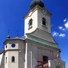
Jaworzynka, Mountain village in Silesian Voivodeship, Poland.
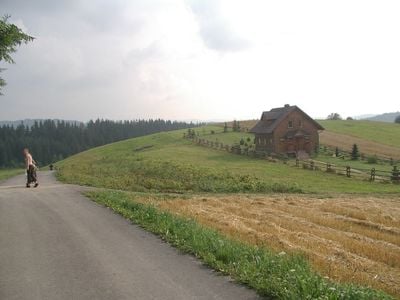
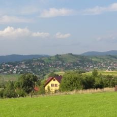
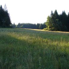
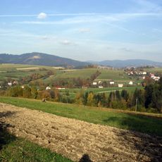
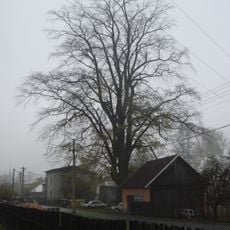
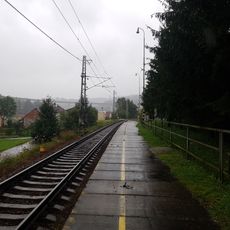
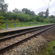
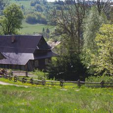
Jaworzynka is a village in Gmina Istebna, set in the Silesian Beskids mountain range in southern Poland, close to the borders with the Czech Republic and Slovakia. It sits at around 630 meters above sea level on hilly slopes covered with forests and pastures.
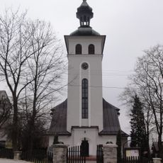
The village was first recorded in 1621 under the name Jaworzinka, when it was part of the Duchy of Teschen, a territory ruled by the Habsburgs. After the First World War, in 1920, it passed to Poland along with the rest of the region.
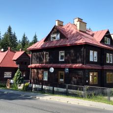
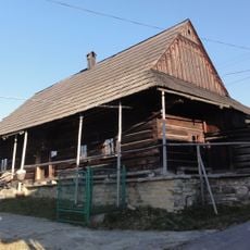
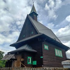
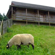
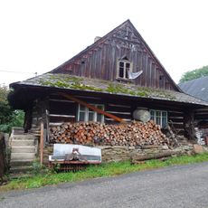
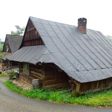
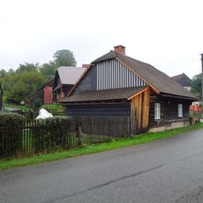
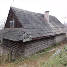
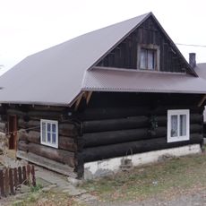
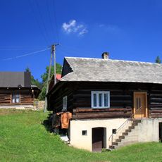
The name of the village comes from the Polish word for sycamore maple, a tree that is common throughout the local countryside. Wooden farmhouses and grazing animals on the slopes give a sense of how mountain life has long been organized here.
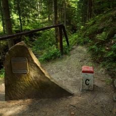
The village is a good base for walking in the Silesian Beskids, with trails that suit different levels of fitness. Mountain weather can shift without warning, so sturdy footwear and a waterproof layer are worth bringing along.
Many people from this village left for Sheridan, Wyoming, in the 1800s and early 1900s to work in the coal mines there. That link between a small Polish mountain village and a town in the American West is still part of local memory today.
The community of curious travelers
AroundUs brings together thousands of curated places, local tips, and hidden gems, enriched daily by 60,000 contributors worldwide.