Poland–Slovakia border, international border
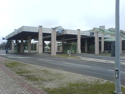
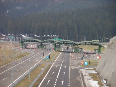
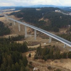
The Poland-Slovakia border is an international land boundary that runs approximately 500 kilometers (310 miles) through mountainous terrain and valleys, marked by eight road crossings, three railway lines, and eleven walking paths. Poland has recently closed many smaller connections and now operates only major crossing points with increased security measures.
The border was established in 1993 when Slovakia became an independent nation following the dissolution of Czechoslovakia. The boundary line shifted several times throughout history due to political changes and world wars before settling into its current position.
The border between Poland and Slovakia reflects different approaches to migration that shape life in nearby communities. On the Slovak side, authorities and residents tend to offer support and assistance to migrants, while Poland has implemented stricter controls and fortifications that define the character of the border region today.
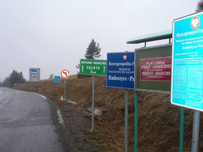
Pedestrians crossing on foot must carry valid identification such as a passport or ID card, with restrictions for non-EU citizens. Travelers should expect increased checks and inspections by border guards and military personnel, which may result in longer waiting times at crossing points.
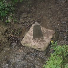
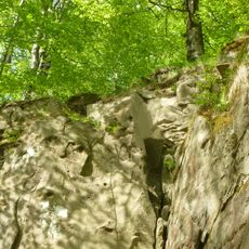
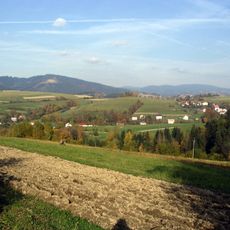
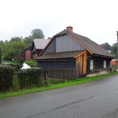
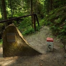
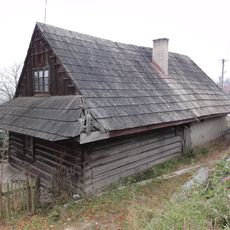
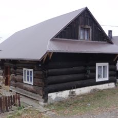
The border cuts through the Beskid mountain range, a popular walking area, where small islands in rivers sometimes shift ownership when natural water changes require official boundary adjustments. These geographical quirks occasionally necessitate formal border line corrections between the two nations.
The community of curious travelers
AroundUs brings together thousands of curated places, local tips, and hidden gems, enriched daily by 60,000 contributors worldwide.