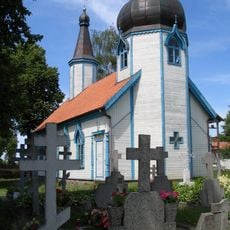
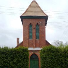
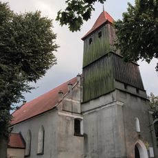
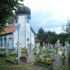
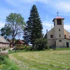
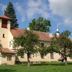
Krutyń, Riverside village in Warmian-Masurian Voivodeship, Poland
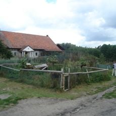
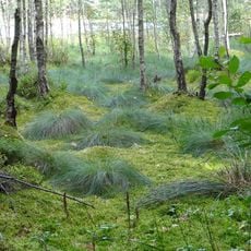
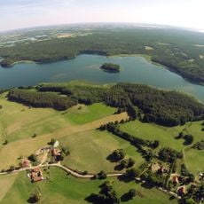
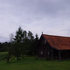
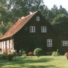
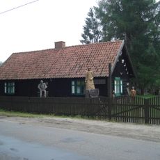
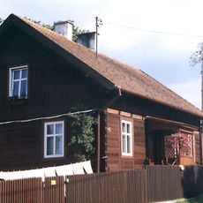
Krutyń is a village situated along the Krutynia River in the Warmian-Masurian region, with dense pine forests and numerous lakes defining its setting. The settlement stretches across the riverbanks in a quiet rural landscape where water and woodland dominate the surroundings.
The village emerged as a settlement in a region defined by forests and waterways, taking advantage of its position on important water routes. Over time, river navigation became central to how people connected with neighboring communities and sustained themselves.
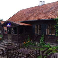
Local residents of Krutyń preserve traditional farming methods and waterway navigation skills, passing these practices to younger generations.
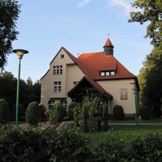
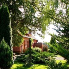
The village is accessible by car from nearby towns, with roads well maintained for regular travel. Basic accommodations and services are available in the area to support visitors exploring the region.
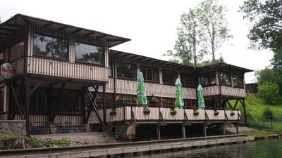
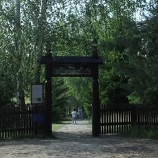
The place serves as a departure point for paddling and boating adventures that attract visitors from various regions. These water routes connect a series of lakes, offering journeys through pristine natural landscapes without requiring specialized gear.
Location: Gmina Piecki
Website: http://krutyn.eu
GPS coordinates: 53.68722,21.43000
Latest update: December 10, 2025 20:06
Kadzidłowo Zoo
5 km
Orthodox Monastery of the Dormition in Wojnowo
4 km
Monastery in Wojnowo
4.2 km
Church of the Dormition in Wojnowo
4.2 km
Molenna in Wojnowo
4 km
Nature reserve Królewska Sosna
3.5 km
Kościół Matki Bożej Miłosierdzia Ostrobramskiej w Rucianem-Nidzie
9.4 km
Exaltation of the Holy Cross church in Ukta
4.4 km
Nature reserve Strzałowo
8.9 km
Kościół św. Józefa Rzemieślnika w Nawiadach
7.6 km
Cmentarz ewangelicki w Osiniaku-Piotrowie
5.8 km
Kościół Trójcy Świętej w Rucianem-Nidzie
8.3 km
Evangelical cemetery in Nawiady
7.9 km
Saint Joseph church in Nawiady
7.6 km
Orthodox cemetery in Wojnowo
4.2 km
Leśniczówka Sosnówka
8.7 km
Cemetery in Ruciane-Nida
9.3 km
Budynek gospodarczy, w zespole Oberży pod Psem
4.8 km
Dom nr 26
262 m
Chałupa z Dąbrów, obecnie Oberża pod Psem
4.8 km
Cultural village in Kadzidłowo
4.8 km
Dom nr 37
4.8 km
Dom nr 17
6.2 km
Zespół klasztorny żeński, staroobrzędowców
4.2 km
Klasztor z molenną Zbawiciela i św. Trójcy w Wojnowie
4.2 km
Brama
4.2 km
Dom nr 19
5.6 km
Dom nr 40
195 mVisited this place? Tap the stars to rate it and share your experience / photos with the community! Try now! You can cancel it anytime.
Discover hidden gems everywhere you go!
From secret cafés to breathtaking viewpoints, skip the crowded tourist spots and find places that match your style. Our app makes it easy with voice search, smart filtering, route optimization, and insider tips from travelers worldwide. Download now for the complete mobile experience.
A unique approach to discovering new places❞
— Le Figaro
All the places worth exploring❞
— France Info
A tailor-made excursion in just a few clicks❞
— 20 Minutes