Gmina Góra Kalwaria, Administrative district in Piaseczno County, Poland
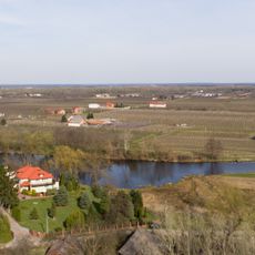
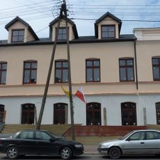
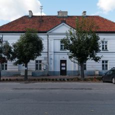
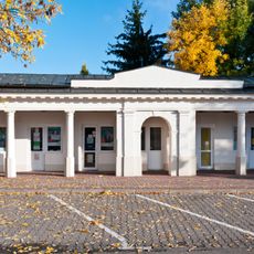
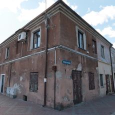
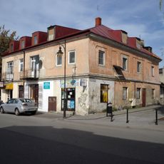
Gmina Góra Kalwaria is an urban-rural municipality in east-central Poland that encompasses the town of the same name and numerous surrounding villages. The area combines built-up zones with agricultural land and natural spaces, creating a mixed settlement pattern across the region.
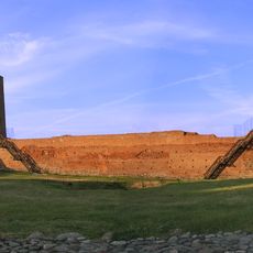
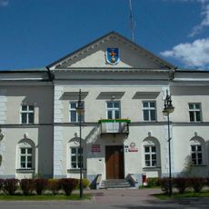
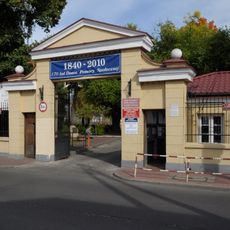
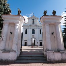
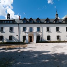
The area developed from early settlement and later became recognized as a pilgrimage destination during the Polish-Lithuanian Commonwealth period, which shaped its role in the region. The town received royal privileges that influenced how the community grew and organized itself over time.
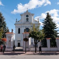
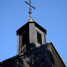
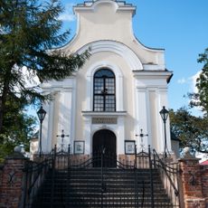
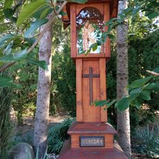
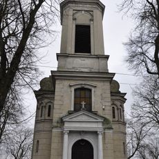
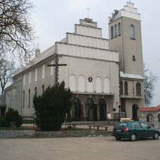
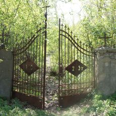
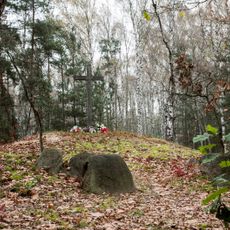
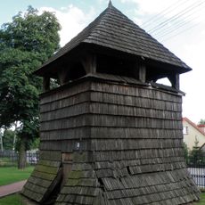
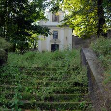
Góra Kalwaria developed as a pilgrimage site and that heritage remains visible in how the town is organized around its churches and spiritual landmarks. Residents and visitors continue to experience this religious character when walking through the streets and gathering spaces.
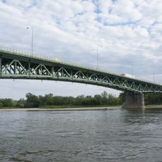
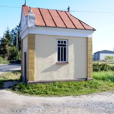
The municipality is accessible by bus and local transport links that connect to Warsaw and surrounding areas, making travel relatively straightforward. Visitors will find schools, shops, healthcare facilities, and other basic services distributed across the town and villages.
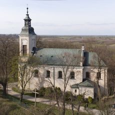
The municipality preserves the traditional pattern of pilgrimage settlements where churches and sanctuaries formed the core around which villages developed and grew over centuries. This historic layout remains visible in how the communities are spatially organized today.
Location: Powiat piaseczyński
Website: http://gorakalwaria.pl
GPS coordinates: 51.97333,21.21444
Latest update: December 10, 2025 20:04
Castle of the Masovian Dukes in Czersk
2.1 km
Immaculate Conception church in Góra Kalwaria
977 m
Czersk Lake
2.3 km
Jewish cemetery
1.7 km
Nadwiślańskiego Urzecza Bridge
2.4 km
Church of the Lord's Supper in Góra Kalwaria
762 m
Church on a hill in Góra Kalwaria
909 m
Synagoga w Górze Kalwarii (ul. Pijarska 5)
1.1 km
Town hall in Góra Kalwaria
922 m
Prywatne Muzeum Regionalne
644 m
Parish Church in Czersk
2.1 km
Saint Stanislaus church in Sobików
5.6 km
Cmentarz ewangelicko-augsburski w Górze Kalwarii
1.9 km
Kościół Przemienienia Pańskiego
2.1 km
World War I grave of German and Russian soldiers in Kąty
3.8 km
Former Bishops Palace in Góra Kalwaria
943 m
Mensa carnifiucium in Góra Kalwaria
909 m
Sajny 3 (d. Świerczewskiego 10)
970 m
27 Piłsudskiego Street in Góra Kalwaria
984 m
Zespół d. konwentu pijarów, ob. dom opieki społecznej
1.5 km
Post mill in Linin
5.2 km
Wooden bell tower of Saint Stanislaus church in Sobików
5.7 km
Kapliczka przydrożna w Górze Kalwarii
649 m
Saint Anthony chapel in Góra Kalwaria
990 m
Brama
965 m
Klasztor, ob. plebania i dom parafialny
946 m
Zespół kościoła Przemienienia Pańskiego
2.1 km
Muzeum św. Ojca Stanisława Papczyńskiego w Górze Kalwarii
741 mVisited this place? Tap the stars to rate it and share your experience / photos with the community! Try now! You can cancel it anytime.
Discover hidden gems everywhere you go!
From secret cafés to breathtaking viewpoints, skip the crowded tourist spots and find places that match your style. Our app makes it easy with voice search, smart filtering, route optimization, and insider tips from travelers worldwide. Download now for the complete mobile experience.
A unique approach to discovering new places❞
— Le Figaro
All the places worth exploring❞
— France Info
A tailor-made excursion in just a few clicks❞
— 20 Minutes