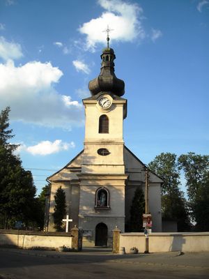
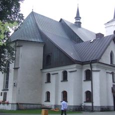
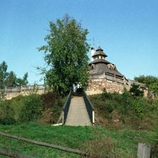
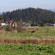
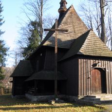
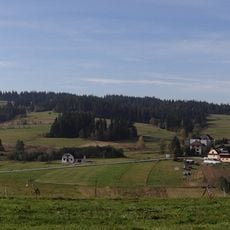
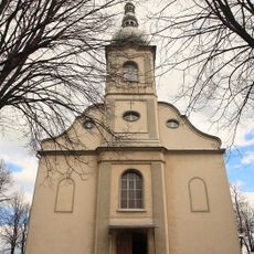
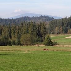
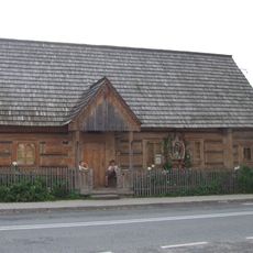
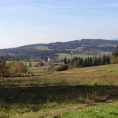
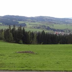
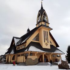
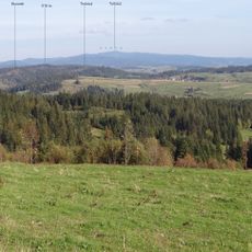
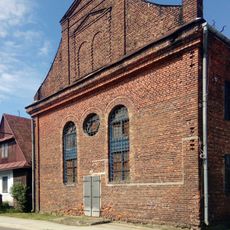
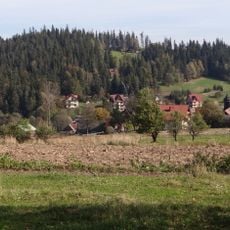
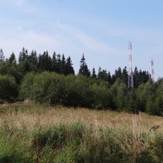
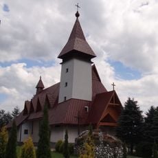
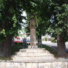
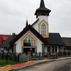
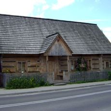
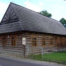
Czarny Dunajec, town in Lesser Poland Voivodeship, Poland
Location: Gmina Czarny Dunajec
Elevation above the sea: 675 m
GPS coordinates: 49.44028,19.85333
Latest update: March 16, 2025 17:23
Sanctuary of Our Lady of Ludźmierz
9.8 km
Castle in Szaflary
11.8 km
Kościół św. Jacka w Chochołowie
8.1 km
Żeleźnica
8.7 km
Holy Trinity church in Czarny Dunajec
34 m
Saint Anthony of Padua church in Sieniawa
11.8 km
Bukowiński Wierch
9.4 km
Kościół Przemienienia Pańskiego w Jabłonce
12 km
Wielki Dział
11 km
Muzeum Powstania Chochołowskiego w Chochołowie
8.1 km
Pająków Wierch
10.6 km
Szaflary Cave
11.6 km
Janiłówka
11.4 km
Saint Hedwig church in Nowy Targ
12 km
Trubacz
10.7 km
Synagogue in Czarny Dunajec
233 m
Leszczak
11.3 km
Kułakowy Wierch
11.2 km
Saint John the Baptist church in Pyzówka
10 km
Młynówka
7.6 km
Klasztor Ludźmierz
9.9 km
Sv. Florián, socha
10.5 km
Saint Florian church in Długopole
6.1 km
Centrum Promocji i Ochrony Torfowisk w Chochołowie
7.9 km
Church of the Transfiguration in Jabłonka
12 km
Saint Hyacinth church in Chochołów
8.1 km
Chochołów Uprising Museum in Chochołów
7.6 km
Dom nr 196
8 kmReviews
Visited this place? Tap the stars to rate it and share your experience / photos with the community! Try now! You can cancel it anytime.
Discover hidden gems everywhere you go!
From secret cafés to breathtaking viewpoints, skip the crowded tourist spots and find places that match your style. Our app makes it easy with voice search, smart filtering, route optimization, and insider tips from travelers worldwide. Download now for the complete mobile experience.
A unique approach to discovering new places❞
— Le Figaro
All the places worth exploring❞
— France Info
A tailor-made excursion in just a few clicks❞
— 20 Minutes