Gmina Nieporęt, Rural municipality in Legionowo County, Poland.
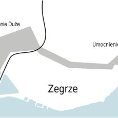
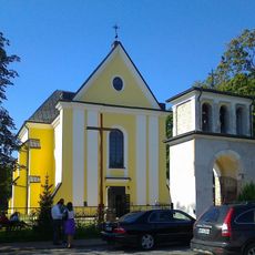
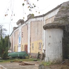
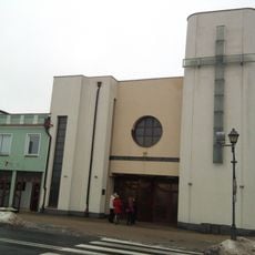
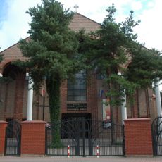
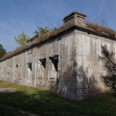
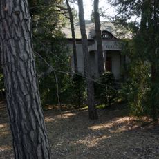
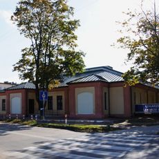
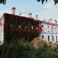
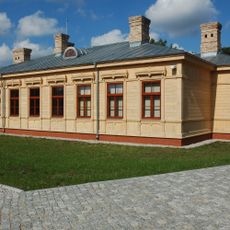
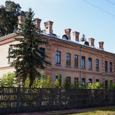
Gmina Nieporęt is a rural municipality in Legionowo County within the Masovian region, consisting of multiple villages and hamlets spread across the countryside. The landscape combines farmland, forest areas, and scattered residential settlements that form the local communities.
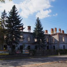
The municipality was shaped through Polish administrative reforms that reorganized rural territories and established its current structure as a gmina in Legionowo County. These changes reflected broader efforts to create functional local governance units across the region.
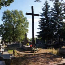
Residents gather for seasonal celebrations and community events that keep local traditions alive throughout the year. These occasions bring together people from different villages and maintain the social bonds that connect the surrounding settlements.
Visitors can best explore this municipality by car, as the villages are scattered across the rural landscape and not easily connected by public transport. Local roads link the various settlements, so allowing extra time for navigation between communities is helpful.
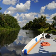
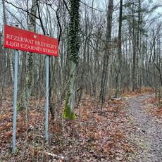
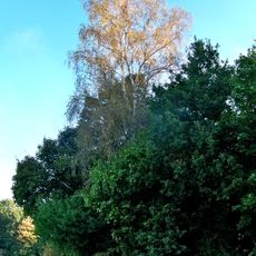
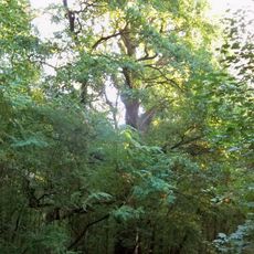
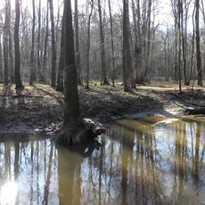
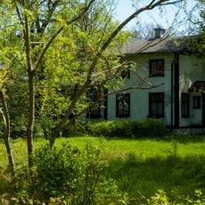
The municipality maintains a striking balance between agricultural land and forest cover, with both land types occupying similar proportions of the total area. This equilibrium creates a landscape where farming and nature coexist rather than one dominating the other.
The community of curious travelers
AroundUs brings together thousands of curated places, local tips, and hidden gems, enriched daily by 60,000 contributors worldwide.