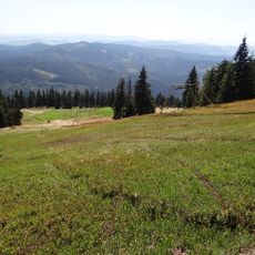
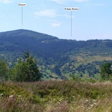
Abrahamów, Mountain summit in Beskid Żywiecki, Poland.
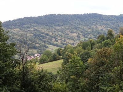
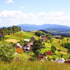
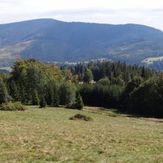
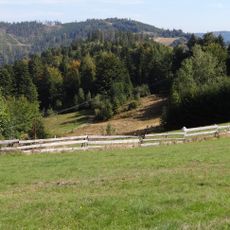
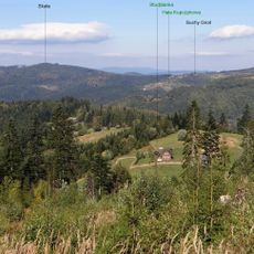
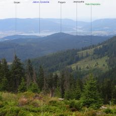
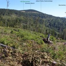
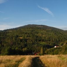
Abrahamów is a summit in the Żywiec Beskids featuring multiple elevations along a ridge that extends from Skała peak to its highest point at 857 meters. The mountain offers varied terrain with hiking routes passing through forest and open sections.
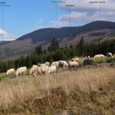
During the 19th century, growing population in the region pushed farmers to cultivate fields and graze livestock up to the mountain's peaks. This agricultural use shaped the landscape and reveals the long human connection to these slopes.
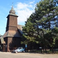
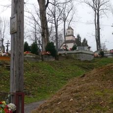
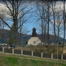
The slopes hold memorial crosses honoring hikers and resistance fighters, reflecting how locals and visitors keep the mountain's past alive through remembrance. These markers show the role the summit plays in the region's collective memory.
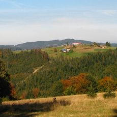
The main hiking route from Żabnica to the summit covers about 11 kilometers with roughly 500 meters of elevation gain. Well-marked red trails lead through different terrain types and are manageable for average hikers.
The original name Abramów was altered to Abrahamów by Austrian cartographers when they mapped the region. This name shift was later adopted in Polish records and shows how historical mapmaking influenced local place names.
The community of curious travelers
AroundUs brings together thousands of curated places, local tips, and hidden gems, enriched daily by 60,000 contributors worldwide.