Enable Location

We need your location to show you interesting places around you

Discover nearby places

Find interesting locations and hidden gems around you

Precise directions

Get accurate directions and distances to places

Your location is never shared with other users. It's only used when you tap the location button.

Kochłowice

Log in to your account

Start exploring — it's free

Trusted by 62,523 travelers worldwide

Continue with Google
Continue with Apple
or

We will send you a code to connect

By continuing, you accept our Terms and Conditions and our Privacy Policy

Check your inbox

We've sent a pincode in your inbox. Please enter the code below.

Kochłowice

Kochłowice, District in Ruda Śląska, Poland

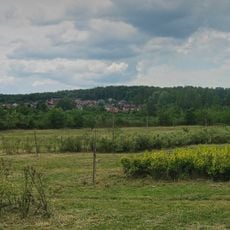
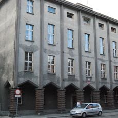
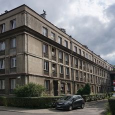
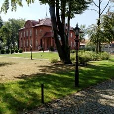
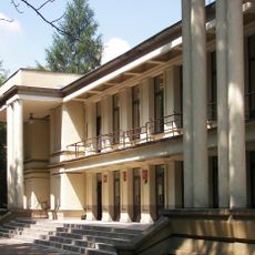
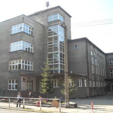
Kochłowice is a district within Ruda Śląska in the Silesian Voivodeship, located in the southeastern section of the city. The area combines residential neighborhoods, green spaces, and historic structures with newer developments scattered throughout.

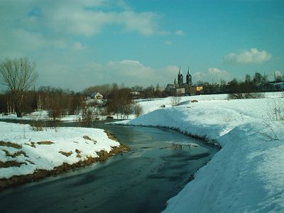
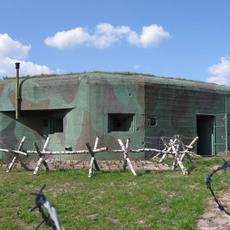
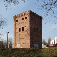
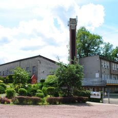
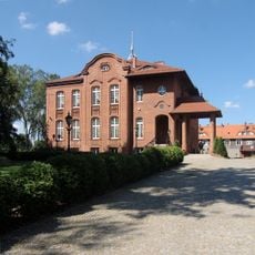
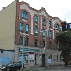
The area was first documented in 1360 as Kochlowa Lanka and later developed into an industrial center. Coal mines and metal processing became major economic drivers during the 19th century and shaped the region's growth.

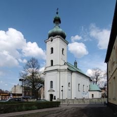
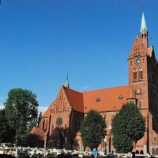
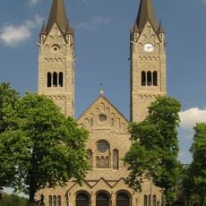
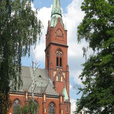
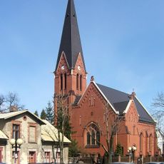
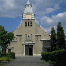
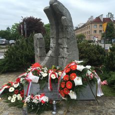
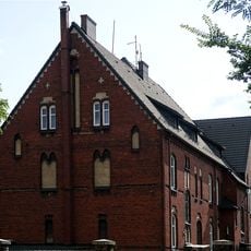
The district reflects Upper Silesian traditions in its architecture and the way people gather for religious celebrations and community events. These practices shape daily life and connect residents to their regional heritage through shared customs.

The district is accessible via Highway A4, which provides direct connections to neighboring cities and surrounding regions. Public transportation and road networks make it easy to navigate and reach other parts of the Silesian area.

Archaeological findings from 2007 revealed that people lived in the area as far back as the 9th century. This discovery shows human settlement existed centuries before the place was officially documented.

The community of curious travelers

AroundUs brings together thousands of curated places, local tips, and hidden gems, enriched daily by 60,000 contributors worldwide.

Start exploring
Location
Inception
1360
GPS coordinates
50.25380,18.90150
Latest update
December 10, 2025 16:02
« Kochłowice - District in Ruda Śląska, Poland » is provided by Around Us (aroundus.com). Images and texts are derived from Wikimedia project under a Creative Commons license. You are allowed to copy, distribute, and modify copies of this page, under the conditions set by the license, as long as this note is clearly visible.

Discover hidden gems everywhere you go!

From secret cafés to breathtaking viewpoints, skip the crowded tourist spots and find places that match your style. Our app makes it easy with voice search, smart filtering, route optimization, and insider tips from travelers worldwide. Download now for the complete mobile experience.

Around Us App Screenshot

A unique approach to discovering new places

Le Figaro

All the places worth exploring

France Info

A tailor-made excursion in just a few clicks

20 Minutes

Around Us
Travel Guide & Maps
Download

Send to your phone

QR Code
1

Open the camera app on your mobile.

2

Point at the QR code with your camera. A notification will appear.

3

Tap the notification to open the link.