Ruda Śląska, Industrial city in Upper Silesia, Poland
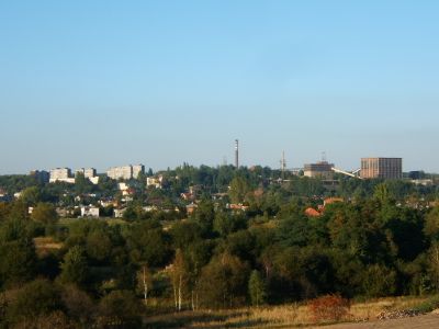
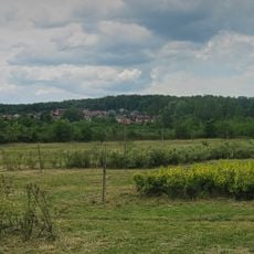
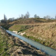
Ruda Śląska is a city with county rights in the Silesian Voivodeship in southern Poland, stretching along the Kłodnica River across several former mining communities. The districts of Nowy Bytom, Ruda and Wirek form the center, while spoil heaps, industrial sites and housing estates line up all around.
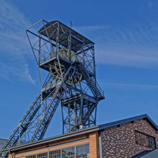
The first documented coal mine in Poland began operations here in 1751 and started the transformation of the region from rural villages to a mining town. After World War II several communities were merged into a single administrative unit that forms the current layout of the city.
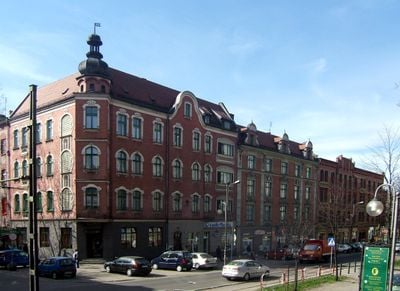
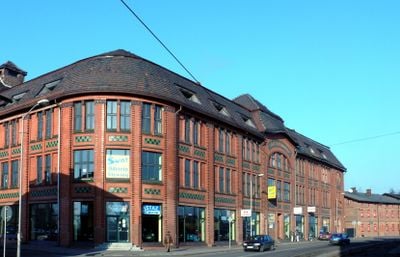
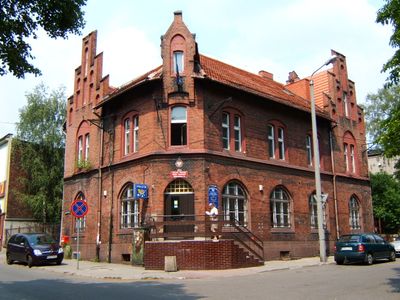
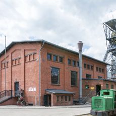
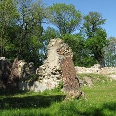
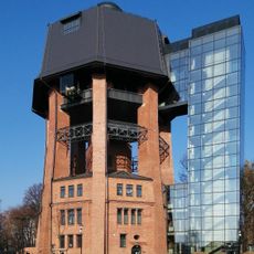
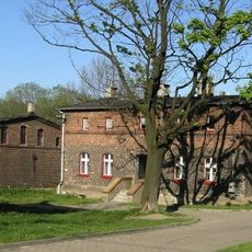
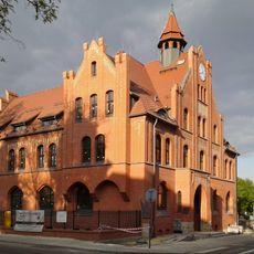
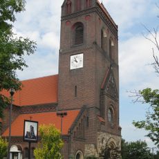
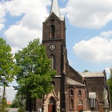
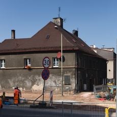
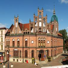
The name comes from the Slavic word for ore and points to the long mining tradition in this part of Upper Silesia. The red brick workers' settlements and old pithead buildings still shape the look of the town and recall the time when coal determined the daily rhythm here.
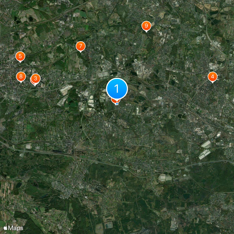
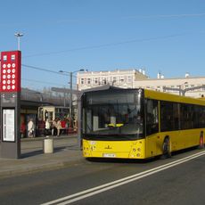
Highway A4 and several train stations on the Katowice–Gliwice line allow access from all directions. Those who want to get their bearings should follow the main roads that run through the different districts and connect the key points.
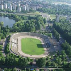
A professional women's handball team from the town plays in the top Polish league and has won several national titles over the years. The home games take place in a hall regularly attended by locals and form part of the sporting life of the community.
Location: Silesian Voivodeship
Inception: 1959
Elevation above the sea: 272 m
Shares border with: Katowice, Mikołów, Gmina Gierałtowice, Zabrze, Bytom, Świętochłowice, Chorzów, Gliwice County, Mikołów County
Website: http://rudaslaska.pl
GPS coordinates: 50.28580,18.87479
Latest update: December 13, 2025 16:51
Photo license: CC BY-SA 3.0
Queen Luiza Mining Open-Air Museum
5 km
Sztolnia Królowa Luiza
5 km
Market Square in Chorzów
5.8 km
Steel House
6.3 km
Church of St. Paul
88 m
Zamek w Rudzie Śląskiej
3.8 km
Water tower in Zabrze
5.8 km
Kolonia Zgorzelec
4.6 km
Aquadrom
5.4 km
Church of Our Lady of Lourdes in Ruda Śląska
4.1 km
Muzeum Powstań Śląskich w Świętochłowicach
3.6 km
Góra Hugona
3.4 kmMuzeum Techniki Wojskowej w Zabrzu
5.6 km
Our Lady of the Rosary church in Świętochłowice
3.9 km
Municipal Savings Bank building in Chorzów
5.4 km
Nature and landscape complex Uroczysko Buczyna
7 km
Schron bojowy nr 75 w Kochłowicach
4.7 km
Fazaniec
5.1 km
Muzeum PRL-u
3 km
Jewish cemetery in Zabrze
6.1 km
Friedrich Wilhelm von Reden monument
5.9 km
Kochłowice
3 km
Saint Nicholas church in Mikołów
8.1 km
Szyb Carnall
5 km
OSiR Skałka
3.6 km
Church of St. Augustin in Świętochłowice
3.3 km
Kalide house
5.8 km
Main post office in Chorzów
5.6 kmVisited this place? Tap the stars to rate it and share your experience / photos with the community! Try now! You can cancel it anytime.
Discover hidden gems everywhere you go!
From secret cafés to breathtaking viewpoints, skip the crowded tourist spots and find places that match your style. Our app makes it easy with voice search, smart filtering, route optimization, and insider tips from travelers worldwide. Download now for the complete mobile experience.
A unique approach to discovering new places❞
— Le Figaro
All the places worth exploring❞
— France Info
A tailor-made excursion in just a few clicks❞
— 20 Minutes