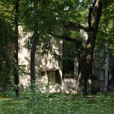
Las Lindego, Urban forest in Bielany district, Warsaw, Poland
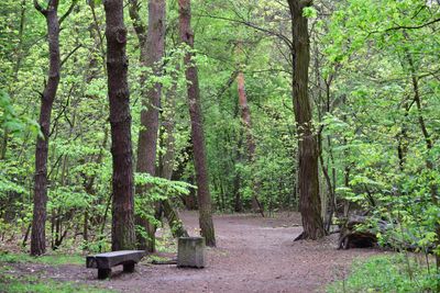
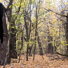
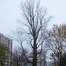
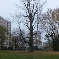
Las Lindego is a mixed woodland in the Bielany district of Warsaw, combining pine, black locust, birch, and red oak trees along walking paths and three playgrounds. The forest spans approximately 20 hectares and provides visitors with a natural refuge within the city.
The woodland was established as a park between the two world wars and lost many trees during German occupation when they were cut down for fuel. This period shaped the composition of today's vegetation and its history under pressure.
The forest takes its name from the adjacent street honoring Samuel Lindego, a significant Polish linguist and lexicographer of the 19th century. This connection links the place to Warsaw's intellectual heritage and Poland's scholarly traditions.
Multiple bus lines and two metro stations, Wawrzyszew and Stare Bielany, provide direct access to this woodland. The accessibility makes it an easy-to-reach location for visitors and residents of surrounding neighborhoods.
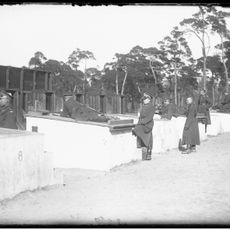
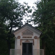
The woodland contains a high embankment from a 19th-century Russian military training ground and remains of the former Bielany Hospital boiler house. These archaeological traces tell of different chapters in the place's past and remain visible to attentive visitors today.
The community of curious travelers
AroundUs brings together thousands of curated places, local tips, and hidden gems, enriched daily by 60,000 contributors worldwide.