
Układ urbanistyczny, nationaal monument in Sucha Beskidzka, Polen
Location: Sucha Beskidzka
Inception: 18 century
GPS coordinates: 49.74212,19.60069
Latest update: April 1, 2025 14:17

Maków Beskids
2.7 km
Sucha Beskidzka Castle
449 m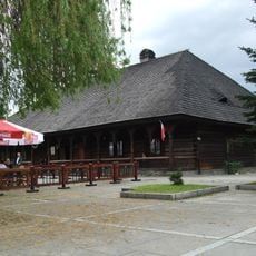
Rzym Inn in Sucha Beskidzka
71 m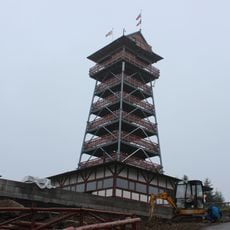
Beskidzki Raj Tower in Stryszawa
5.6 km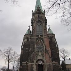
Church of the Visitation in Sucha Beskidzka
205 m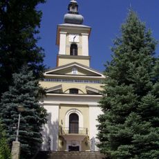
Kościół Przemienienia Pańskiego w Makowie Podhalańskim
5.6 km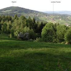
Magurka
4.9 km
Mioduszyna
2.2 km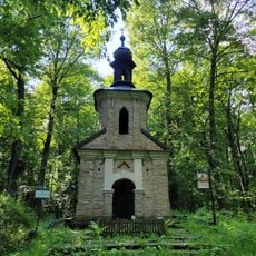
Kaplica Konfederatów Barskich na górze Jasień
1.3 km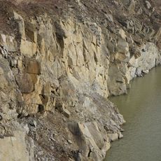
Mucharz quarry
7.3 km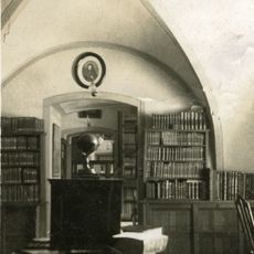
Branicki Library
450 m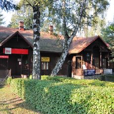
38 Mickiewicza Street in Sucha Beskidzka
650 m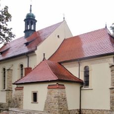
Old Visitation church in Sucha Beskidzka
246 m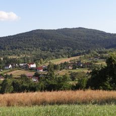
Gołuszkowa Góra
5.5 km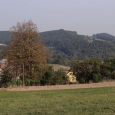
Jasień
1.4 km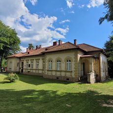
Willa Paczosówka w Makowie Podhalańskim
6 km
Tarnawska Góra
5.9 km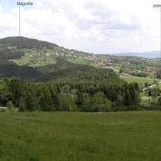
Surzynówka
5.6 km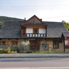
Old Inn in Sucha Beskidzka
3.7 km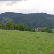
Czepelówka
7.3 km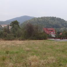
Pietyrowa Góra
4.8 km
Stryszawa
6.5 km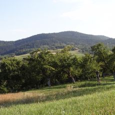
Żurawnica
6.7 km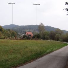
Lipska Góra
3.5 km
U Jerzego
6.5 km
Prorokowa Góra
4 km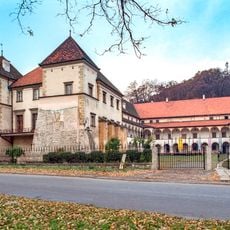
Sucha Beskidzka Castle
786 m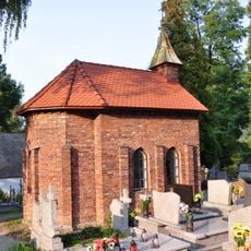
Kaplica
433 mReviews
Visited this place? Tap the stars to rate it and share your experience / photos with the community! Try now! You can cancel it anytime.
Discover hidden gems everywhere you go!
From secret cafés to breathtaking viewpoints, skip the crowded tourist spots and find places that match your style. Our app makes it easy with voice search, smart filtering, route optimization, and insider tips from travelers worldwide. Download now for the complete mobile experience.

A unique approach to discovering new places❞
— Le Figaro
All the places worth exploring❞
— France Info
A tailor-made excursion in just a few clicks❞
— 20 Minutes