Macedo de Cavaleiros
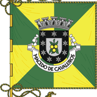
Macedo de Cavaleiros, Administrative division in Bragança, Portugal
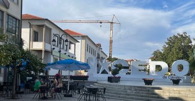
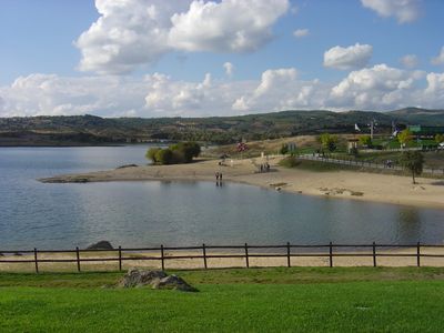
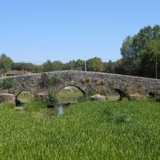
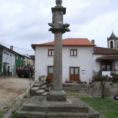
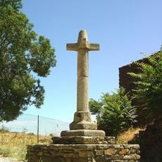
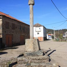
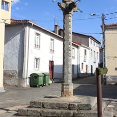
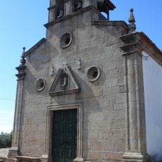
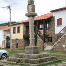
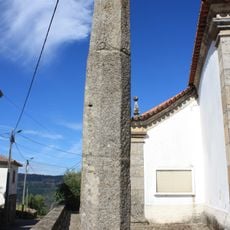
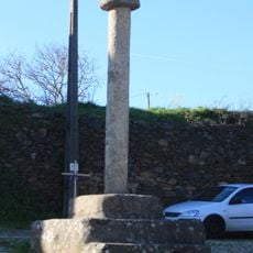
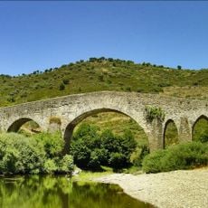
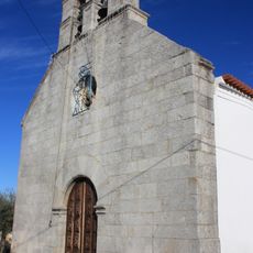
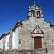
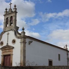
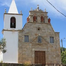
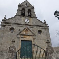
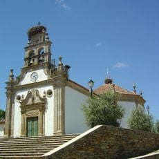
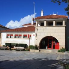
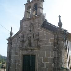
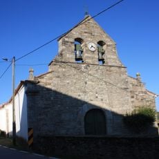
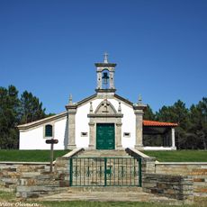
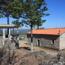
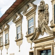
Macedo de Cavaleiros is a municipality in northeastern Portugal that spans varied landscapes from gentler lowlands to higher elevations. The area contains several villages and a town center with historical buildings, museums displaying regional artifacts and religious art, and stone churches standing in town squares.
The area was part of larger administrative territories until 1853, when it gained municipal status through a consolidation of surrounding settlements. This administrative change established the boundaries and structure that the region has maintained.
The Caretos carnival tradition remains active here, with locals wearing wool costumes and carved masks that represent ancient customs still celebrated yearly. This practice shows how the community keeps old ways alive through festive gatherings and shared family moments.
The region is best explored by car or on foot, as villages are spread out and connected by small roads. Most museums and churches are located in the town center and larger villages, so visiting these hubs first helps orient visitors to the area.
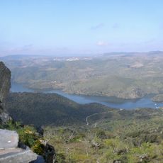
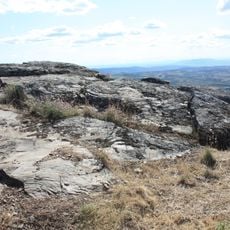
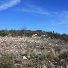
The territory includes a geopark featuring rock formations that tell the story of hundreds of millions of years of Earth's development and rare geological features. These stones reveal evidence of ancient oceans and mountain-building events that shaped the landscape long ago.
Location: Bragança
Location: Terras de Trás-os-Montes
Inception: January 1, 1853
Shares border with: Alfândega da Fé, Mirandela, Mogadouro, Vimioso, Bragança, Vinhais
Address: 5340 Macedo de Cavaleiros, Portugal
Website: https://cm-macedodecavaleiros.pt
GPS coordinates: 41.53333,-6.95000
Latest update: December 7, 2025 10:07
Iberian Plateau
23.7 km
Azibo Reservoir Protected Landscape
5 km
Castle of Bemposta
10.2 km
Ponte medieval de Frieira
16.6 km
Pelourinho de Torre de Dona Chama
19.8 km
Pillory of Frieira
16.5 km
Pillory of Sanceriz
17.1 km
Pillory of Chacim
8.1 km
Igreja de Nossa Senhora dos Reis, matriz de Lamalonga, incluindo o adro
19.4 km
Pillory of Pinhovelo
3.7 km
Pillory of Nozelos
16.1 km
Pillory of Ervedosa
22.5 km
Pillory of Vila Franca de Lampaças
12.2 km
Ponte de Santulhão
23.1 km
Igreja de Santa Marta
9.4 km
Igreja Paroquial de Ervedosa
22.5 km
Igreja paroquial de Avantos
12.9 km
Igreja paroquial de Vilarinho de Agrochão, incluindo a sua decoração de talha
18.2 km
Igreja de Nossa Senhora da Purificação, paroquial de Podence
6.9 km
Igreja Paroquial de São Vicente de Vinhas
11.7 km
CTT de Macedo de Cavaleiros
1.1 km
Fraga dos Corvos
4.4 km
Igreja Paroquial de Pereiros
15.9 km
Igreja Paroquial de Quintela de Lampaças
11.1 km
Castro de Ciragata
24.2 km
Capela de São Bernardino (Gebelim)
10.3 km
Castro de São Brás
19.7 km
Solar das Arcas
14.3 kmVisited this place? Tap the stars to rate it and share your experience / photos with the community! Try now! You can cancel it anytime.
Ala e Vilarinho do Monte
Castelãos e Vilar do Monte
Bornes e Burga
Talhinhas e Bagueixe
Espadanedo, Edroso, Murçós e Soutelo Mourisco
Amendoeira
Corujas
Arcas
Podence e Santa Combinha
Lombo
Vilarinho de Agrochão
Carrapatas
Vale Benfeito
Peredo
Olmos
Ferreira
Vinhas
Grijó
Morais
Salselas
Lamas
Talhas
Lagoa
Sezulfe
Vale da Porca
Vale de Prados
Chacim
Lamalonga
Cortiço
Macedo de Cavaleiros
Discover hidden gems everywhere you go!
From secret cafés to breathtaking viewpoints, skip the crowded tourist spots and find places that match your style. Our app makes it easy with voice search, smart filtering, route optimization, and insider tips from travelers worldwide. Download now for the complete mobile experience.
A unique approach to discovering new places❞
— Le Figaro
All the places worth exploring❞
— France Info
A tailor-made excursion in just a few clicks❞
— 20 Minutes