Vale de Cambra, Administrative division in Aveiro District, Portugal
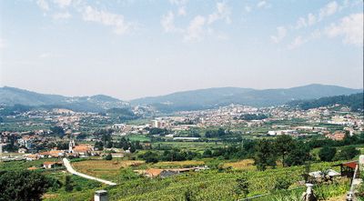
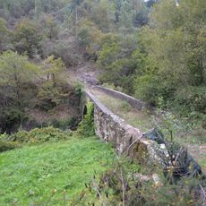
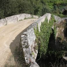
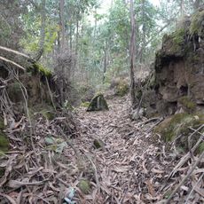
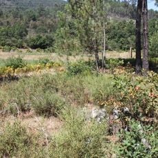
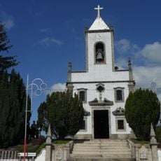
Vale de Cambra is a municipality in Aveiro District that spreads across approximately 147 square kilometers between the Serra da Freita mountains and industrial zones, encompassing seven civil parishes. The terrain mixes mountainous landscapes with industrial areas, creating a varied geography with both rural and developed sections.
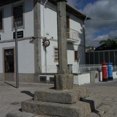
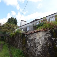
The municipality received its administrative status in 1514 as it evolved from a rural settlement into a modern administrative division. Over the centuries, agricultural traditions gradually merged with industrial development in the region.
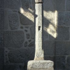
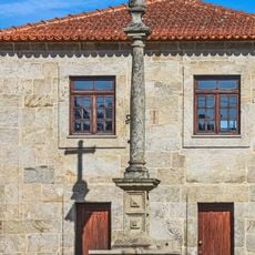
Local craftspeople continue traditional techniques like linen weaving, wool processing, and basket making in their small workshops across the villages. These skills shape both the products made here and the daily rhythm of local life.
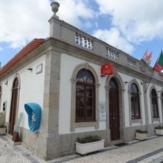
The municipality uses postal codes ranging from 3730-000 to 3730-999, with each neighborhood having its own designation for reliable delivery services. Visitors can use these codes to navigate different parts of the area and access local services.
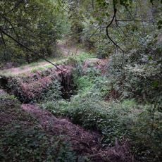
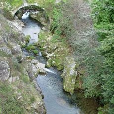
The Barragem Engenheiro Duarte Pacheco dam was built between 1936 and 1942 on the Caima River and represents engineering work from that era. The reservoir it created enables water sports today and often goes unnoticed by visitors despite shaping the local landscape.
The community of curious travelers
AroundUs brings together thousands of curated places, local tips, and hidden gems, enriched daily by 60,000 contributors worldwide.