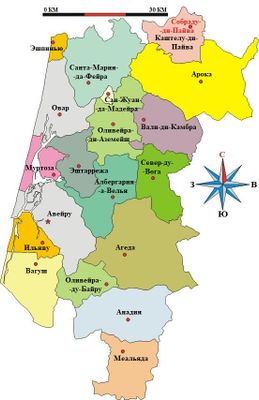
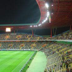
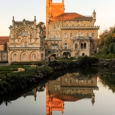
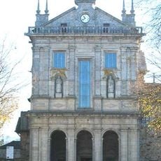
Aveiro, Administrative district in central coastal Portugal
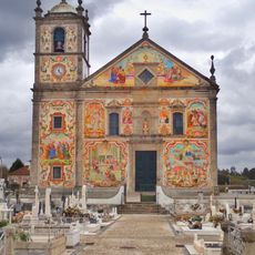
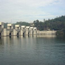
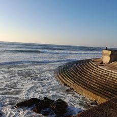
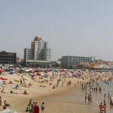
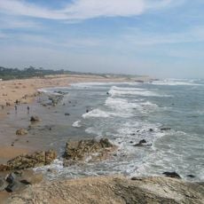
Aveiro is an administrative district in central coastal Portugal with 19 municipalities shaped by waterways and lagoon systems. The region connects coastal areas with inland land and offers a mix of fishing towns, salt ponds, and rural areas.
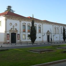
The district was established in 1835, uniting areas from former administrative provinces into a new regional center. This reorganization shaped it as an important trading and fishing hub along the Atlantic coast.
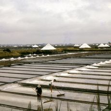
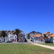
The region is known for its traditional salt harvesting in the Ria de Aveiro lagoons, maintained by local fishermen and craftspeople. Visitors can see the shallow waters lined with colorful houses that reflect the coastal way of life.
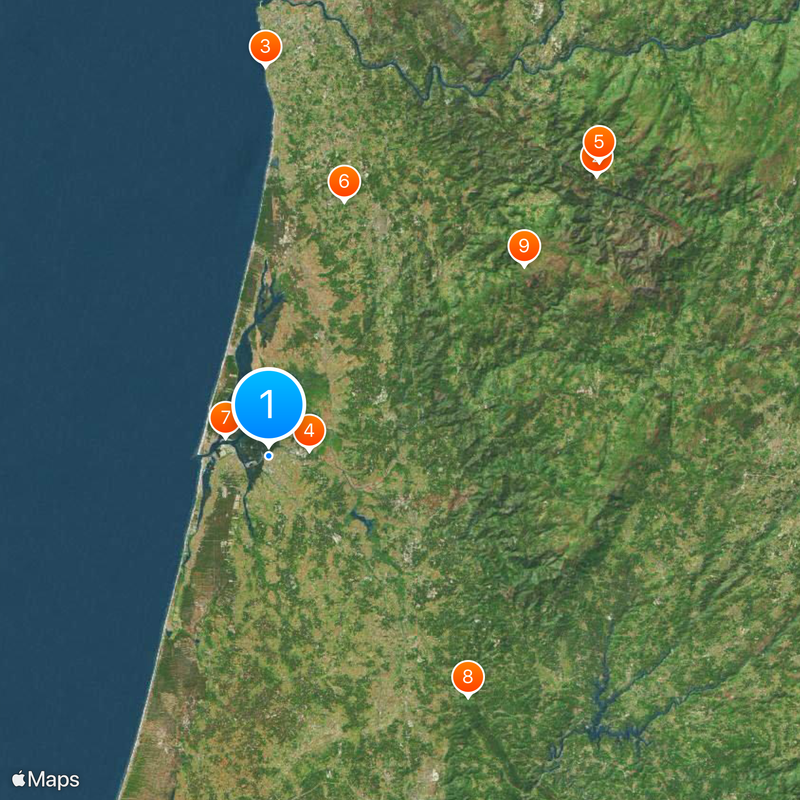
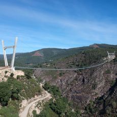
The region is best explored by road and rail routes that connect its municipalities and provide access to coastal and inland areas. Visitors should take time to explore the canals and small harbors where traditional boats allow a slow, detailed journey.
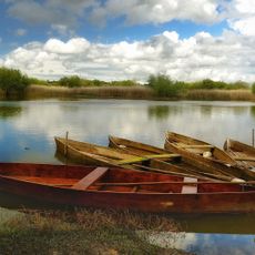
The region is known for its moliceiro boats, flat-bottomed sailboats designed specifically for navigating the narrow channels of the lagoon. These boats with their distinctive decorations are a symbol of local maritime tradition and offer visitors a unique way to travel through the waterways.
Location: Portugal
Inception: January 1, 1835
Capital city: Aveiro
Shares border with: Porto, Viseu, Coimbra
Website: https://gov-civil-aveiro.pt
GPS coordinates: 40.64111,-8.65389
Latest update: December 14, 2025 20:57
Passadiços do Paiva
52.8 km
Capela do Senhor da Pedra
47.6 km
Estádio Municipal de Aveiro
5.1 km
516 Arouca
54.1 km
Castle of Santa Maria da Feira
32.5 km
Site of Community Importance Ria de Aveiro
5.7 km
Bussaco Palace Hotel
38.3 km
Pedras Parideiras da Serra da Freita
39 km
Aguieira Dam
51.2 km
Cascata da Frecha da Mizarela
39.9 km
Paiva River
57.6 km
Aveiro Lighthouse
7.9 km
Gafanha da Encarnação
8.7 km
Buçaco Forest
38.2 km
Igreja de Nossa Senhora do Amparo
22.3 km
Pateira de Fermentelos
13.1 km
Monastery of Arouca
46.9 km
Paços de Brandão
37.4 km
São João de Ver
35.9 km
Crestuma Dam
50.1 km
Praia da Granja
44.5 km
Mosteiro de Jesus, compreendendo o túmulo de Santa Joana
296 m
Dunas de São Jacinto Nature Reserve
8.5 km
Mosteiro de Grijó
43.6 km
Praia da Baía
40.7 km
Cascata da Cabreia
25.6 km
Praia do Senhor da Pedra
47.6 km
Praia de Miramar
47.4 kmVisited this place? Tap the stars to rate it and share your experience / photos with the community! Try now! You can cancel it anytime.
Discover hidden gems everywhere you go!
From secret cafés to breathtaking viewpoints, skip the crowded tourist spots and find places that match your style. Our app makes it easy with voice search, smart filtering, route optimization, and insider tips from travelers worldwide. Download now for the complete mobile experience.
A unique approach to discovering new places❞
— Le Figaro
All the places worth exploring❞
— France Info
A tailor-made excursion in just a few clicks❞
— 20 Minutes