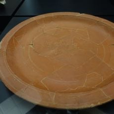
São João de Vêr, Parish and administrative region in Santa Maria da Feira, Portugal
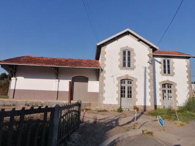
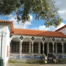
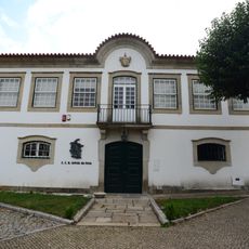
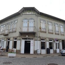
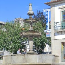
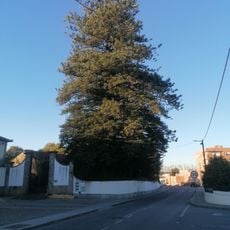
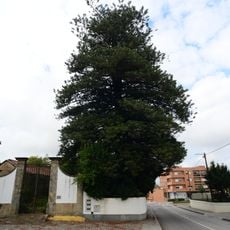
São João de Ver is a parish in Santa Maria da Feira within the Aveiro District, situated on gently rolling terrain between urban and rural areas. The village combines open countryside with residential streets, where daily life unfolds among traditional stone buildings and newer development.
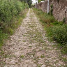
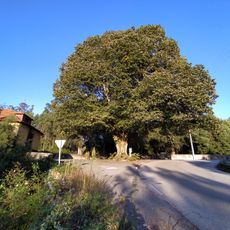
The area follows an ancient royal road that once connected Lisbon and Porto, passing through the region as a major trade route for centuries. This historic connection shaped settlement patterns and the community's long-term development.
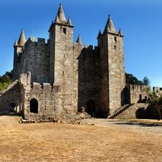
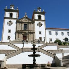
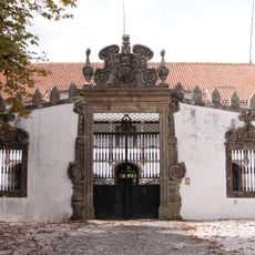
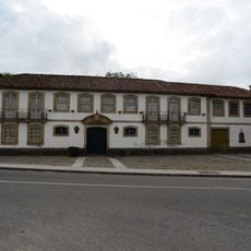
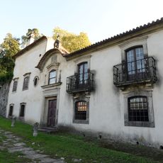
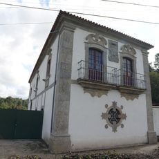
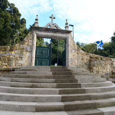
The Casa da Torre displays traditional building methods from northern Portugal and shapes the village character with its distinctive stonework. Such structures reflect how local craftsmanship and regional materials once defined the area's appearance.
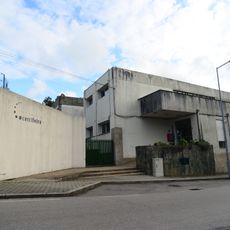
The location sits well-connected within the greater Porto region, letting visitors easily reach neighboring towns and municipalities from this base. Walking through the village works best to notice traditional houses and the local rhythm of the streets.
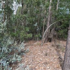
The Airas region nearby still holds traces of this ancient trade route where travelers and merchants once passed through. Walking carefully, one can still spot this historic axis in the path layouts and older village structures.
GPS coordinates: 40.95417,-8.55340
Latest update: December 10, 2025 16:27
Castle of Santa Maria da Feira
3.8 km
Paços de Brandão
3.9 km
Mercado Municipal de Santa Maria da Feira
3.4 km
Convento dos Lóios
3.5 km
Castro de Ovil
6.3 km
Museu de Santa Maria de Lamas
3 km
Casa da Torre
395 m
Castro de Fiães
4.6 km
Casa da Portela
3.7 km
Mamoa da Quinta da Laje
3.7 km
Solar dos Condes de Fijó
3.5 km
Estalagem - Arqtº Rogério de Azevedo
3.5 km
Cadeia da Comarca de Santa Maria da Feira
3.5 km
Church of São Pedro de Maceda (Ovar)
5.4 km
Old Town Hall
3.4 km
Troço da estrada real Lisboa - Porto em Airas
4.5 km
Câmara Municipal de Santa Maria da Feira
3.3 km
Edifício Termal de Caldas de São Jorge
4.8 km
Edifícios da Mala-Posta de Sanfins, ou de São Jorge, antiga muda de Souto Redondo
3.3 km
Quinta da Murtosa
6.6 km
Chafariz na praça da República
3.3 km
Casa Senhorial em Caldas de São Jorge
4.7 km
Parque Municipal de Paços de Brandão
4.9 km
Fábrica de Papel da Amorosa
4 km
Árvore isolada em Paços Brandão - Casa da Portela
3.7 km
Árvore isolada em Paços Brandão - Casa da Portela
3.7 km
Árvore isolada em Domínio Público Rodoviário
3.8 km
Quinta do Castelo
3.8 kmVisited this place? Tap the stars to rate it and share your experience / photos with the community! Try now! You can cancel it anytime.
Discover hidden gems everywhere you go!
From secret cafés to breathtaking viewpoints, skip the crowded tourist spots and find places that match your style. Our app makes it easy with voice search, smart filtering, route optimization, and insider tips from travelers worldwide. Download now for the complete mobile experience.
A unique approach to discovering new places❞
— Le Figaro
All the places worth exploring❞
— France Info
A tailor-made excursion in just a few clicks❞
— 20 Minutes