Barroso, Agricultural heritage region in northern Portugal.
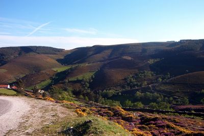
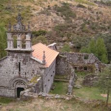
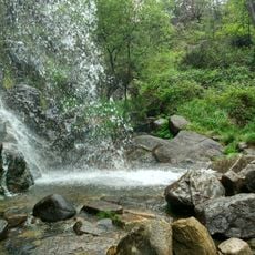
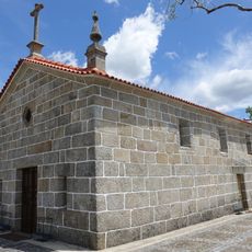
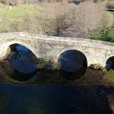
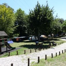
Barroso is an agricultural region in northern Portugal, spread across the municipalities of Montalegre and Boticas, shaped by mountains and valleys. It is made up of small farms where traditional cultivation methods and livestock breeding are still practiced today.
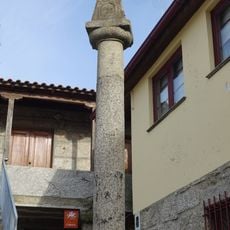
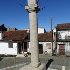
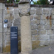
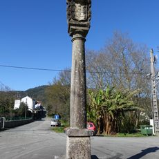
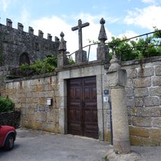
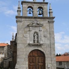
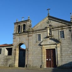
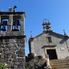
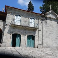
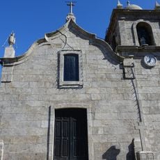
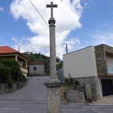
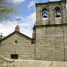
The region was recognized as an organized territory in the 13th century and is among the oldest known settled areas in northern Portugal. Farming remained the foundation of local life across the centuries and shaped the way communities grew and organized themselves.
The Barrosã cattle are a visible symbol of the region, recognized by their compact build and long curved horns. Farmers here have maintained traditional livestock and crop practices for centuries, which gives the landscape its particular character.
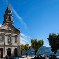
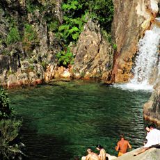
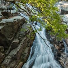
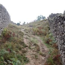
Exploring the region takes time, and moving around is easiest on foot or by car since the farms and villages are spread across hilly terrain. The mountain climate can change quickly, so bringing warm and waterproof clothing is a good idea regardless of the season.
Barroso was recognized by the FAO as a Globally Important Agricultural Heritage System, making it one of the few such sites in Europe. This designation highlights how the farming and grazing practices here are considered a reference for sustainable agriculture worldwide.
The community of curious travelers
AroundUs brings together thousands of curated places, local tips, and hidden gems, enriched daily by 60,000 contributors worldwide.