
Souto, town and civil parish in Sabugal, Portugal
Location: Sabugal
Shares border with: Vale de Espinho, Fóios, Aldeia Velha, Alfaiates, Nave, Vila Boa, Quadrazais
GPS coordinates: 40.35667,-6.95833
Latest update: March 8, 2025 19:43
Serra da Malcata Natural Reserve
13.6 km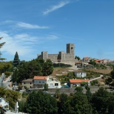
Sabugal Castle
11.5 km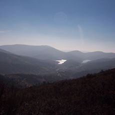
Serra da Malcata Special Protection Area
14 km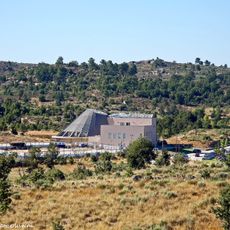
Termas do Cró
12.1 km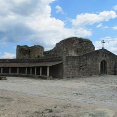
Castle of Alfaiates
5.4 km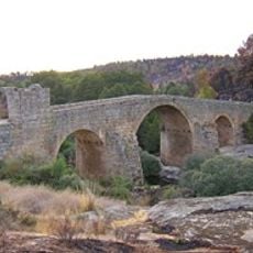
Ponte de Sequeiros
12.8 km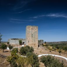
Castle of Vilar Maior
13.5 km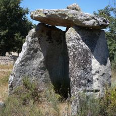
Anta da Pedra de Anta
18.4 km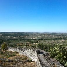
Castelo de Vila do Touro
14.3 km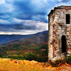
Castle of Eljas
18.2 km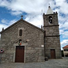
Aldeia de Santo António
14.4 km
Site of Community Importance Malcata
1.3 km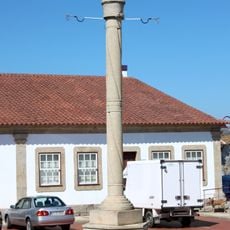
Pelourinho do Sabugal
11.4 km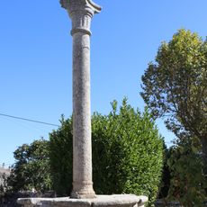
Pelourinho de Vila do Touro
14.1 km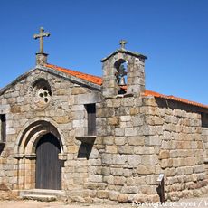
Igreja da Santa Casa da Misericórdia de Alfaiates
5.6 km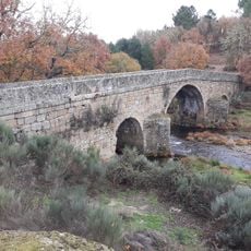
Villar bridge
19.3 km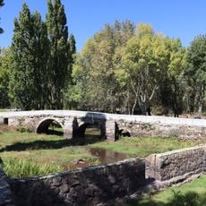
Ponte antiga da Aldeia da Ponte
9.8 km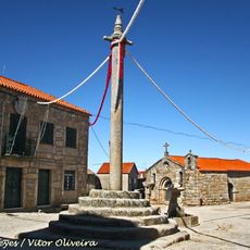
Pelourinho de Alfaiates
5.4 km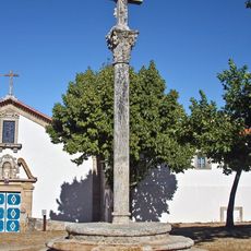
Cruzeiro de Sacraparte
5.6 km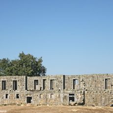
Convento de Sacaparte
5.6 km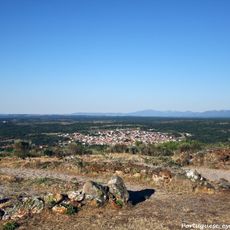
Sabugal Velho
6.2 km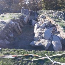
Dolmen of the House of the Moor, Casillas de Flores
19 km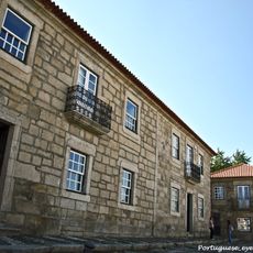
Edifício da Câmara Municipal do Sabugal
11.4 km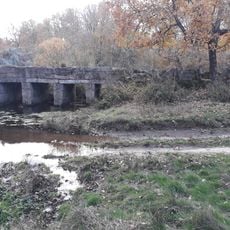
Mazo de Prado Álvaro Bridge
18.7 km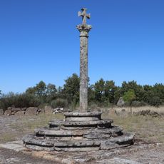
Cruzeiro da Aldeia da Ponte
9.8 km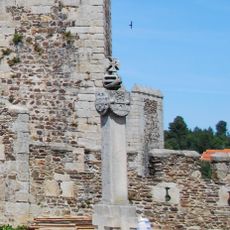
Cruzeiro dos Centenários de Sabugal
11.5 km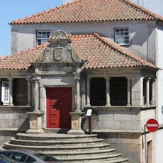
Casa dos Britos
11.3 km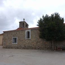
Church of Santiago Apóstol, El Payo
21.1 kmReviews
Visited this place? Tap the stars to rate it and share your experience / photos with the community! Try now! You can cancel it anytime.
Discover hidden gems everywhere you go!
From secret cafés to breathtaking viewpoints, skip the crowded tourist spots and find places that match your style. Our app makes it easy with voice search, smart filtering, route optimization, and insider tips from travelers worldwide. Download now for the complete mobile experience.

A unique approach to discovering new places❞
— Le Figaro
All the places worth exploring❞
— France Info
A tailor-made excursion in just a few clicks❞
— 20 Minutes