Larouco Mountain, Mountain chain in northwestern Iberian Peninsula.
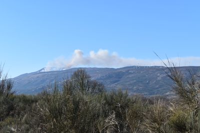
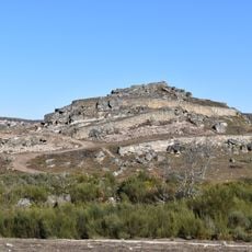
Larouco is a mountain chain on the northwestern Iberian Peninsula that runs along the border between Spain and Portugal, reaching a high point of 1,525 meters (about 5,000 feet). Granite rock and steep slopes cover most of the terrain on both sides of the border.
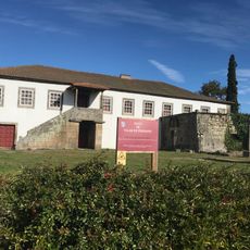
During the Middle Ages, this mountain chain acted as a natural dividing line between rival Iberian kingdoms, shaping where people chose to build their villages. Over centuries, that boundary role eventually became the formal state border between Spain and Portugal.
The summit sits exactly on the border between Spain and Portugal, which gives the mountain a special place in the daily life of nearby villages. On each side, people speak dialects that differ noticeably, even though the communities are just a short distance apart.
Hiking trails on both the Spanish and Portuguese sides lead toward the summit, with the starting points near the towns of Cualedro and Montalegre being the easiest to find. Footwear with good grip is a good idea since the terrain turns slippery when wet, which is common at this altitude.
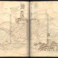
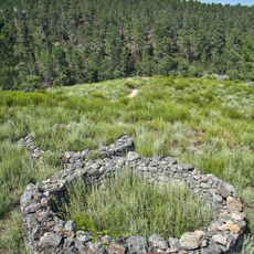
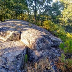
The summit was once used as a reference point for geodetic surveys that helped map the exact border between the two countries. Some of the survey markers placed during those expeditions are still visible near the top today.
The community of curious travelers
AroundUs brings together thousands of curated places, local tips, and hidden gems, enriched daily by 60,000 contributors worldwide.