Ruma, town and municipality in Serbia
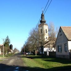
Ruma is a city in Ruma Municipality in Serbia and serves as a regional center with mixed development from different eras. The streets connect older neighborhoods with modern areas, where traditional houses stand alongside contemporary structures.
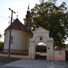
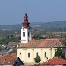
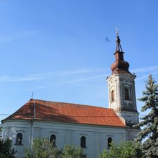
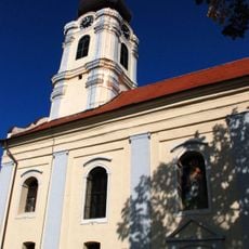
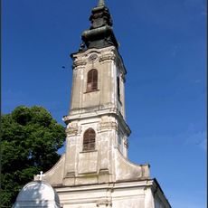
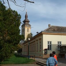
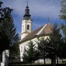
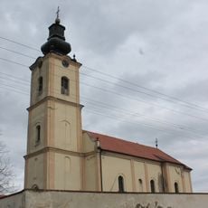
Ruma was founded during Roman times and later became an important local point during the Middle Ages and Ottoman period. The town developed into a regional administrative and commercial center under Austro-Hungarian rule.
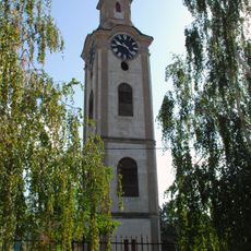
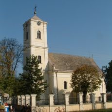
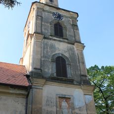
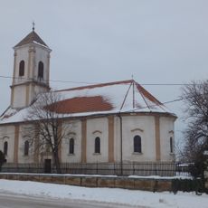
Ruma takes its name from the Latin word for Rome and reflects the Roman heritage of the region. The town preserves this legacy through its architecture and the way locals move through and use their community.
The town center is easily walkable and offers a straightforward layout that helps visitors get oriented quickly. Most shops and services cluster around the main streets where parking is available.
Ruma was an important station on historic trade routes connecting different regions and maintained this role across centuries. This position still shapes how the town functions and connects with surrounding communities today.
The community of curious travelers
AroundUs brings together thousands of curated places, local tips, and hidden gems, enriched daily by 60,000 contributors worldwide.