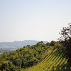
Banja, Aranđelovac, village in Šumadija, Serbia
Location: Aranđelovac
Elevation above the sea: 209 m
GPS coordinates: 44.27722,20.62194
Latest update: March 5, 2025 08:55
Oplenac
4.7 km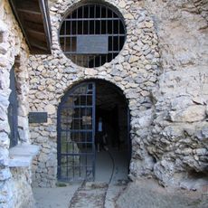
Risovača Cave
5.1 km
Blagoveštenje Rudničko Monastery
14.8 km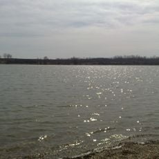
Марковачко језеро
12.8 km
Bela Reka Lake
13.9 km
Despot Stefan Lazarević Memorial
12.9 km
Risovača Cave
4.3 km
Nikolje Rudničko Monastery
9 km
Карађорђева
5.6 km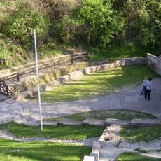
Marićevića jaruga
6.4 km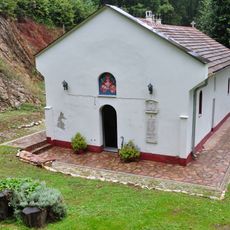
Monastère de Brezovac
3.5 km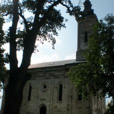
Crkva Sv. arhangela Gavrila
4.7 km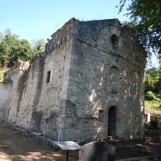
Stara crkva
10.8 km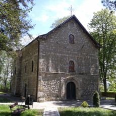
Crkva Sv. Petra i Pavla
13.7 km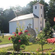
Crkva Sv. arhangela Gavrila
9.8 km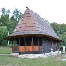
Wooden church, Darosava
13.7 km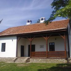
Vieille école à Ovsište
11.4 km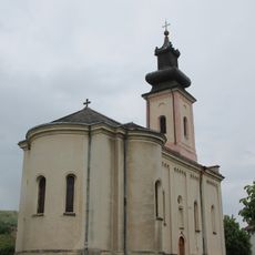
Crkva Preobraženja Gospodnjeg
8.8 km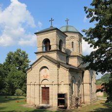
Crkva Sv. Save
12.4 km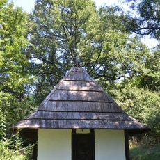
Crkva brvnara
14.9 km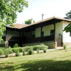
Library „Radoje Domanović“ Topola
5.3 km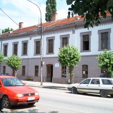
Bâtiment du Vieux tribunal municipal à Aranđelovac
5.2 km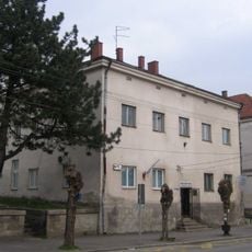
Bâtiment de la vieille poste à Aranđelovac
5 km
Кућа породице Баџак
13.7 km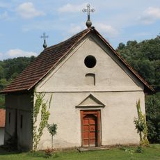
Crkva Pokrova Presvete Bogorodice
12.5 km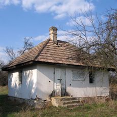
Maison de Milutin Vučković à Stojnik
10.8 km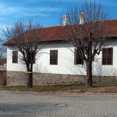
Bâtiment situé 1 rue Surepova à Topola
4.9 km
Albian fauna
5.1 kmReviews
Visited this place? Tap the stars to rate it and share your experience / photos with the community! Try now! You can cancel it anytime.
Discover hidden gems everywhere you go!
From secret cafés to breathtaking viewpoints, skip the crowded tourist spots and find places that match your style. Our app makes it easy with voice search, smart filtering, route optimization, and insider tips from travelers worldwide. Download now for the complete mobile experience.

A unique approach to discovering new places❞
— Le Figaro
All the places worth exploring❞
— France Info
A tailor-made excursion in just a few clicks❞
— 20 Minutes