Khanty-Mansiysk, Administrative center in Western Siberia, Russia
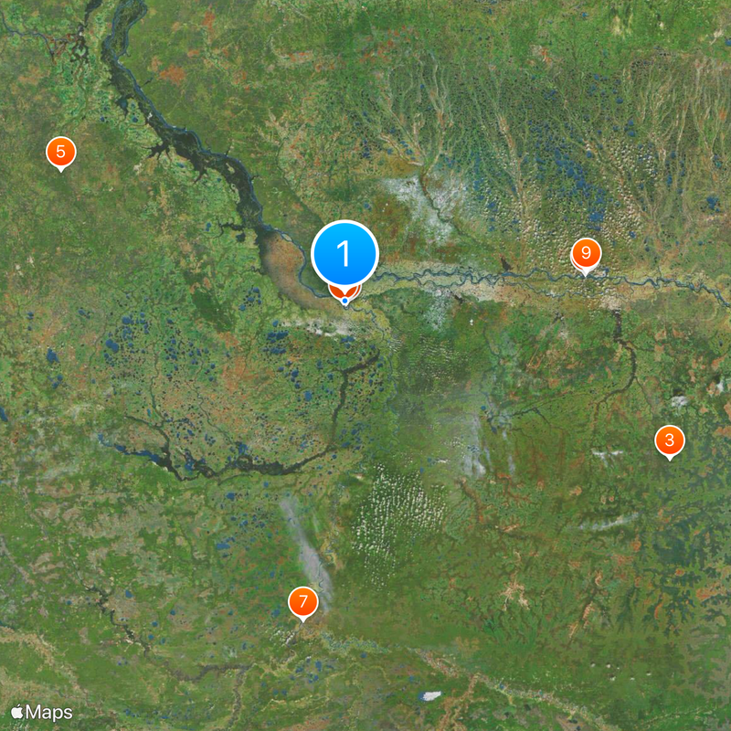
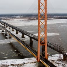
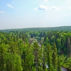
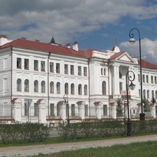
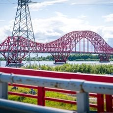
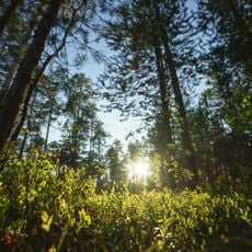
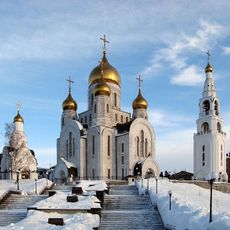
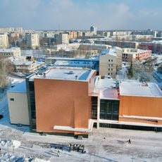
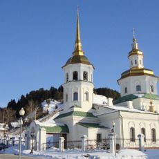
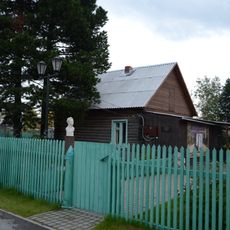
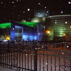
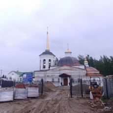
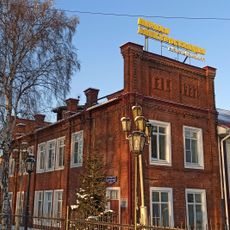
Khanty-Mansiysk sits where the Irtysh meets the Ob, surrounded by conifer forests and flat plains at around 50 meters elevation. The settlement spreads along both riverbanks, with residential neighborhoods alternating with administrative buildings and parks.
The settlement was established in 1930 under the name Ostyako-Vogulsk, referring to the Russian terms for indigenous peoples at that time. It gained city status in 1950 after merging with the older village of Samarovo.
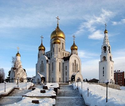
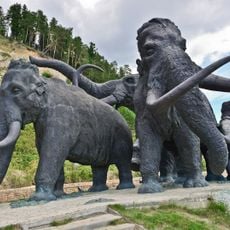
The name combines the two largest indigenous groups of the region, whose descendants still live in surrounding communities today. Visitors see this connection in public artworks and sculptures standing along main streets.
The local airport reaches major Russian destinations, while buses run throughout the entire urban area. Winter clothing remains necessary almost all year, as temperatures can stay cool even in summer.
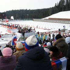
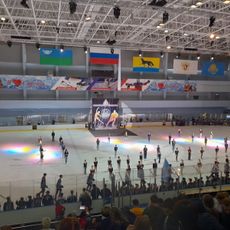
A professional biathlon center with around 15 kilometers of track regularly draws competitors from different countries. The city also hosts international chess tournaments, which is uncommon for such a remote location.
Location: Khanty-Mansi Autonomous Okrug
Inception: 1931
Elevation above the sea: 50 m
Website: http://admhmansy.ru
GPS coordinates: 61.00000,69.00000
Latest update: December 12, 2025 20:04
Yugra Bridge
225.1 km
Yugansky Nature Reserve
344.3 km
Archeopark
2.2 km
Little Sosva Nature Reserve
286.6 km
Khanty-Mansiysk Biathlon Center
2.3 km
Tobolsk Pedagogical Institute of Tyumen University
312.7 km
Drago rosso
1.5 km
Barsova Mountain
226.8 km
Samarovsky Chugas Nature Park
1.4 km
Museum of Nature and Humanity
1.4 kmПамятник Д. И. Менделееву
311.3 km
Cathedral of the Resurrection of Christ
1.4 km
Tobolsk Drama Theatre "P. P. Yershov"
312.2 km
Church of the Intercession of the Most Holy Mother of God in Khanty-Mansiysk
4.3 km
Знаменская церковь (Ханты-Мансийск)
1.9 km
Аквамарин
239.8 km
Ледовый дворец
236.8 km
Филин
244.2 km
Аквапарк
2.6 km
Дом Г.С. Клепикова (Сургут)
238.2 km
Здание пожарного депо (Ханты-Мансийск)
944 m
Дом, в котором с 1957 по 1961 гг. жил советский и российский геолог, первооткрыватель нефти в Сибири Ф.К. Салманов (Сургут)
242.1 km
Concert and Theatre Center Yugra-Klassik
1.6 km
Церковь Вознесения Господня (Горноправдинск)
116.2 km
Здание первой электростанции Ханты-Мансийска (Ханты-Мансийск)
1.5 km
Спасская церковь (Шеркалы)
268.6 km
Церковь целителя Пантелеймона (Тундрино)
166.4 km
Мозаичное панно «Сургутская Мадонна» (Сургут)
239.6 kmVisited this place? Tap the stars to rate it and share your experience / photos with the community! Try now! You can cancel it anytime.
Discover hidden gems everywhere you go!
From secret cafés to breathtaking viewpoints, skip the crowded tourist spots and find places that match your style. Our app makes it easy with voice search, smart filtering, route optimization, and insider tips from travelers worldwide. Download now for the complete mobile experience.
A unique approach to discovering new places❞
— Le Figaro
All the places worth exploring❞
— France Info
A tailor-made excursion in just a few clicks❞
— 20 Minutes