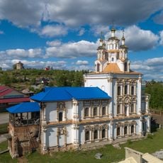
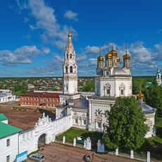
Khanty-Mansi Autonomous Okrug, Administrative region in Western Siberia, Russia.
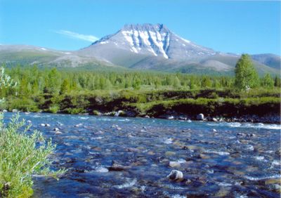
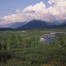
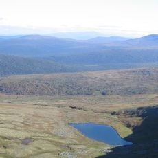
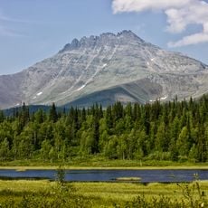
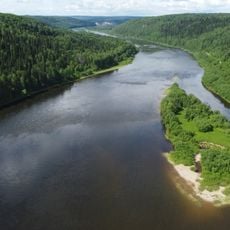
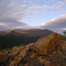
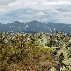
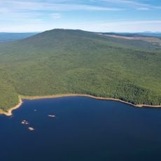
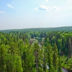
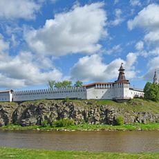
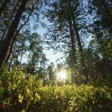
Khanty-Mansi Autonomous Okrug is an administrative region in Western Siberia that covers a large portion of the West Siberian Plain. The territory consists mainly of dense coniferous forests, extensive peatlands, and numerous rivers winding through the flat landscape.
The region was established in the early 20th century as a national district for the indigenous Khanty and Mansi peoples. With the discovery of major oil and gas reserves during the 1960s, the sparsely populated area transformed dramatically and attracted workers from across the country.
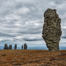
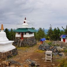
The indigenous Khanty and Mansi communities continue their traditional ways of life through hunting, fishing, and reindeer herding in remote areas across the region. Visitors may encounter small settlements with distinctive wooden homes and elevated storage structures that reflect adaptation to the harsh environment.
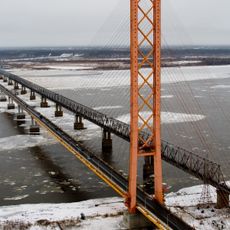
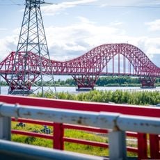
The region is best accessed through highways and air connections, as the vast distances and lack of continuous railway lines make other travel options challenging. Outside the larger settlements, roads are often unpaved and flooding or mud during spring and autumn can slow movement considerably.
The region spans two different time zones because it stretches across several degrees of longitude. Some settlements in the east follow a different clock than those in the west, which can create occasional confusion when traveling across the territory.
The community of curious travelers
AroundUs brings together thousands of curated places, local tips, and hidden gems, enriched daily by 60,000 contributors worldwide.