Enable Location

We need your location to show you interesting places around you

Discover nearby places

Find interesting locations and hidden gems around you

Precise directions

Get accurate directions and distances to places

Your location is never shared with other users. It's only used when you tap the location button.

Inta

Log in to your account

Start exploring — it's free

Trusted by 62,569 travelers worldwide

Continue with Google
Continue with Apple
or

We will send you a code to connect

By continuing, you accept our Terms and Conditions and our Privacy Policy

Check your inbox

We've sent a pincode in your inbox. Please enter the code below.

Inta, Administrative city in Komi Republic, Russia

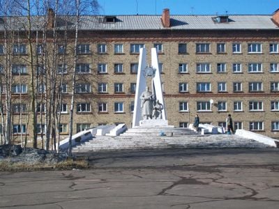
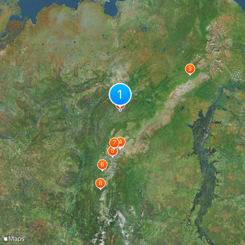
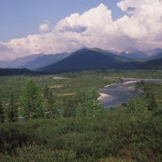
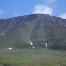
Inta is a town in the Komi Republic in northwestern Russia, situated along the Bolshaya Inta River. This northern settlement serves as a local center for surrounding communities in a region characterized by vast forests and remote terrain.

The town was founded during World War II when mining operations expanded across the northern Soviet Union. In the decades that followed, it grew into a center for the local coal industry, drawing many residents to the area.

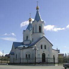
The local population maintains traditions that merge Russian customs with influences from the indigenous Komi people of the northern territories.

The town is accessible via the Kotlas-Vorkuta railway line that runs through the region. A small airport nearby offers connections to other locations in northwestern Russia.

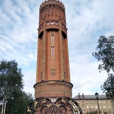
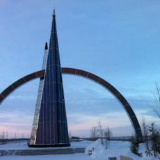
A tall transmitter mast for navigation signals stands near the town and ranks among the tallest structures in Europe. The installation is used for a radio navigation system that assists ships and aircraft across northern regions.

The community of curious travelers

AroundUs brings together thousands of curated places, local tips, and hidden gems, enriched daily by 60,000 contributors worldwide.

Start exploring
Location
Inception
1942
Elevation above the sea
50 m
GPS coordinates
66.03981,60.13152
Latest update
December 13, 2025 17:41
Around this place
Mount Narodnaya
Russian Federation

Mount Narodnaya

111.9 km
Polar Ural
Russian Federation

Polar Ural

217.3 km
Virgin Komi Forests
Russian Federation

Virgin Komi Forests

108.3 km
Subpolar Ural
Russian Federation

Subpolar Ural

136 km
Yugyd Va National Park
Russian Federation

Yugyd Va National Park

183.1 km
Manaraga
Russian Federation

Manaraga

112 km
Schugor
Russian Federation

Schugor

238.8 km
Inta water tower
Russian Federation

Inta water tower

228 m
Dvorets Kultury Shakterov
Russian Federation

Dvorets Kultury Shakterov

236.1 km
Peter and Paul Church
Russian Federation

Peter and Paul Church

294.1 km
Харнаурды-Кеу
Russian Federation

Харнаурды-Кеу

308.1 km
Дом культуры речников (Печора)
Russian Federation

Дом культуры речников (Печора)

171.1 km
Преображенская церковь (Ижма)
Russian Federation

Преображенская церковь (Ижма)

309 km
Здание инородческих управ, в котором была провозглашена советская власть в Обдорске (Салехард)
Russian Federation

Здание инородческих управ, в котором была провозглашена советская власть в Обдорске (Салехард)

294.1 km
Polar circle monument
Russian Federation

Polar circle monument

296 km
Gorky Cinema
Russian Federation

Gorky Cinema

166.3 km
Obdorsky ostrog
Russian Federation

Obdorsky ostrog

294 km
Торговый дом купца И.Н. Корнилова (Салехард)
Russian Federation

Торговый дом купца И.Н. Корнилова (Салехард)

294.2 km
Здание начальной школы 501-й стройки (Салехард)
Russian Federation

Здание начальной школы 501-й стройки (Салехард)

296.6 km
Здание театра 501-й стройки (Салехард)
Russian Federation

Здание театра 501-й стройки (Салехард)

296.3 km
Obdorskoye Cemetery
Russian Federation

Obdorskoye Cemetery

295.5 km
Обдорское кладбище (Салехард)
Russian Federation

Обдорское кладбище (Салехард)

295.6 km
Церковь Рождества Пресвятой Богородицы (каменная) (Берёзово)
Russian Federation

Церковь Рождества Пресвятой Богородицы (каменная) (Берёзово)

329.5 km
Дом купца И.А. Рочева-Моторова (Салехард)
Russian Federation

Дом купца И.А. Рочева-Моторова (Салехард)

294.3 km
Фрагмент застройки (2 объекта) (Салехард)
Russian Federation

Фрагмент застройки (2 объекта) (Салехард)

296.6 km
Церковь Николая Чудотворца — первый православный самоедский (ненецкий) храм в Большеземельской тундре (Колва)
Russian Federation

Церковь Николая Чудотворца — первый православный самоедский (ненецкий) храм в Большеземельской тундре (Колва)

126.1 km
Дом священника и церковно-приходская школа (Колва)
Russian Federation

Дом священника и церковно-приходская школа (Колва)

126.1 km
Памятник В.И. Ленину (Инта)
Russian Federation

Памятник В.И. Ленину (Инта)

795 m
Show the full map
« Inta - Administrative city in Komi Republic, Russia » is provided by Around Us (aroundus.com). Images and texts are derived from Wikimedia project under a Creative Commons license. You are allowed to copy, distribute, and modify copies of this page, under the conditions set by the license, as long as this note is clearly visible.

Discover hidden gems everywhere you go!

From secret cafés to breathtaking viewpoints, skip the crowded tourist spots and find places that match your style. Our app makes it easy with voice search, smart filtering, route optimization, and insider tips from travelers worldwide. Download now for the complete mobile experience.

Around Us App Screenshot

A unique approach to discovering new places

Le Figaro

All the places worth exploring

France Info

A tailor-made excursion in just a few clicks

20 Minutes

Around Us
Travel Guide & Maps
Download

Send to your phone

QR Code
1

Open the camera app on your mobile.

2

Point at the QR code with your camera. A notification will appear.

3

Tap the notification to open the link.