Enable Location

We need your location to show you interesting places around you

Discover nearby places

Find interesting locations and hidden gems around you

Precise directions

Get accurate directions and distances to places

Your location is never shared with other users. It's only used when you tap the location button.

Alatyr

Log in to your account

Start exploring — it's free

Trusted by 62,370 travelers worldwide

Continue with Google
Continue with Apple
or

We will send you a code to connect

By continuing, you accept our Terms and Conditions and our Privacy Policy

Check your inbox

We've sent a pincode in your inbox. Please enter the code below.

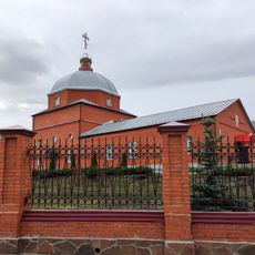
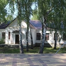
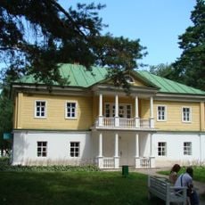
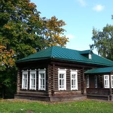
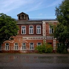
Alatyr, Administrative center in Chuvash Republic, Russia

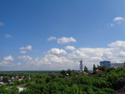
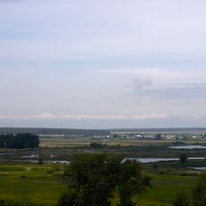
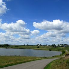
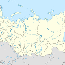
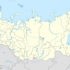
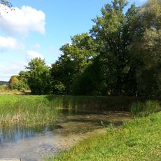
Alatyr sits where the Sura and Alatyr Rivers meet in the Chuvash Republic, forming a settlement with gently sloping riverbanks and bridge crossings over both waterways. The town occupies the southern edge of Chuvashia, bordering both the Republic of Mordovia and Nizhny Novgorod Oblast directly.

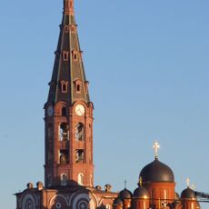
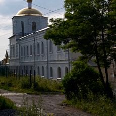
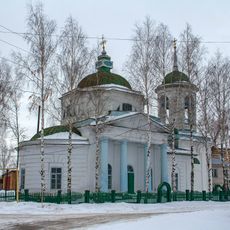
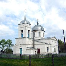
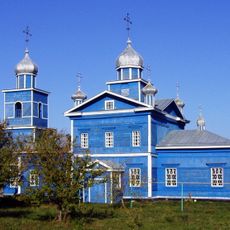
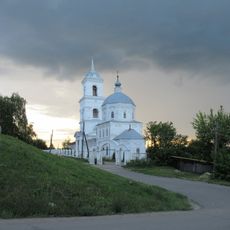
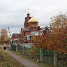
A wooden fortress appeared here in 1552 to protect Russia's southeastern borders on the site of an earlier Mordvin settlement. The settlement gained formal town rights in 1780 and became a railway junction in 1894 when the Moscow-Ryazan-Kazan line opened.

The local population of 35,298 residents consists of Russians representing 87.3 percent, Mordvins 7.2 percent, and Chuvash 4.1 percent of inhabitants.

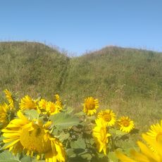
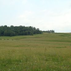
The town follows Moscow Standard Time, three hours ahead of coordinated universal time, and connects through its railway station to the main eastbound line. Visitors find mostly flat terrain with occasional low hills and paths along both rivers.

The town shares its name with the river that flows into the larger waterway here, and both names likely come from an old Mordvin or Turkic root. Despite sitting within Chuvashia, the settlement forms its own urban district while also serving as the administrative seat for a surrounding rural area without belonging to it.

The community of curious travelers

AroundUs brings together thousands of curated places, local tips, and hidden gems, enriched daily by 60,000 contributors worldwide.

Start exploring
Location
Inception
1552
Elevation above the sea
130 m
GPS coordinates
54.85000,46.58333
Latest update
December 14, 2025 17:18
Around this place
Holy Trinity monastery, Alatyr
Russian Federation

Holy Trinity monastery, Alatyr

867 m
Chavash Varmane Bor National Park
Russian Federation

Chavash Varmane Bor National Park

37 km
Smolny National Park
Russian Federation

Smolny National Park

76 km
Kievo-Nikolaevsky monastery, Alatyr
Russian Federation

Kievo-Nikolaevsky monastery, Alatyr

1.2 km
Beloye Lake
Russian Federation

Beloye Lake

82.5 km
Peter and Paul Church, Poretskoye
Russian Federation

Peter and Paul Church, Poretskoye

41 km
Никольский собор
Russian Federation

Никольский собор

22.4 km
Памятник Александру II (Белый Ключ)
Russian Federation

Памятник Александру II (Белый Ключ)

49.1 km
Ош-Пандо
Russian Federation

Ош-Пандо

41.1 km
Лучинник
Russian Federation

Лучинник

82 km
Transfiguration church, Kudeikha
Russian Federation

Transfiguration church, Kudeikha

42.9 km
Храм Покрова Пресвятой Богородицы
Russian Federation

Храм Покрова Пресвятой Богородицы

69.5 km
Nativity Church, Alatyr
Russian Federation

Nativity Church, Alatyr

442 m
Simkinsky Sustainable Development Reserve
Russian Federation

Simkinsky Sustainable Development Reserve

81.6 km
Николаевский Стародевичий монастырь
Russian Federation

Николаевский Стародевичий монастырь

1.3 km
Памятник Б. М. Хитрово в Карсуне
Russian Federation

Памятник Б. М. Хитрово в Карсуне

77.1 km
Church of the Archangel Michael
Russian Federation

Church of the Archangel Michael

71.1 km
Шигали (Батыр районы)
Russian Federation

Шигали (Батыр районы)

63.5 km
Янгличи (Канашан кӀошт)
Russian Federation

Янгличи (Канашан кӀошт)

79.4 km
Kumashka
Russian Federation

Kumashka

82.1 km
Никишино Первое
Russian Federation

Никишино Первое

55 km
Church of Saint Alexander Nevsky, Lvovka
Russian Federation

Church of Saint Alexander Nevsky, Lvovka

81.6 km
Assumption Church (Boldino)
Russian Federation

Assumption Church (Boldino)

83.1 km
Chamzinka Museum of History and Local Lore
Russian Federation

Chamzinka Museum of History and Local Lore

71.7 km
Lvovka Estate
Russian Federation

Lvovka Estate

81.7 km
Здание церковно-приходской школы, построенной А.А. Пушкиным (Львовка)
Russian Federation

Здание церковно-приходской школы, построенной А.А. Пушкиным (Львовка)

81.7 km
Алатырь
Russian Federation

Алатырь

0 m
Парк с прудами (Львовка)
Russian Federation

Парк с прудами (Львовка)

81.7 km
Show the full map
« Alatyr - Administrative center in Chuvash Republic, Russia » is provided by Around Us (aroundus.com). Images and texts are derived from Wikimedia project under a Creative Commons license. You are allowed to copy, distribute, and modify copies of this page, under the conditions set by the license, as long as this note is clearly visible.

Discover hidden gems everywhere you go!

From secret cafés to breathtaking viewpoints, skip the crowded tourist spots and find places that match your style. Our app makes it easy with voice search, smart filtering, route optimization, and insider tips from travelers worldwide. Download now for the complete mobile experience.

Around Us App Screenshot

A unique approach to discovering new places

Le Figaro

All the places worth exploring

France Info

A tailor-made excursion in just a few clicks

20 Minutes

Around Us
Travel Guide & Maps
Download

Send to your phone

QR Code
1

Open the camera app on your mobile.

2

Point at the QR code with your camera. A notification will appear.

3

Tap the notification to open the link.