·

Enable Location

We need your location to show you interesting places around you

Discover nearby places

Find interesting locations and hidden gems around you

Precise directions

Get accurate directions and distances to places

Your location is never shared with other users. It's only used when you tap the location button.

Severouralsk

Log in to your account

Start exploring — it's free

Trusted by 62,647 travelers worldwide

Continue with Google
Continue with Apple
or

We will send you a code to connect

By continuing, you accept our Terms and Conditions and our Privacy Policy

Check your inbox

We've sent a pincode in your inbox. Please enter the code below.

Severouralsk

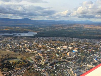
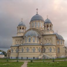
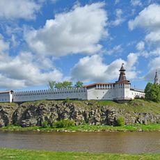
Severouralsk, Industrial town in Sverdlovsk Oblast, Russia

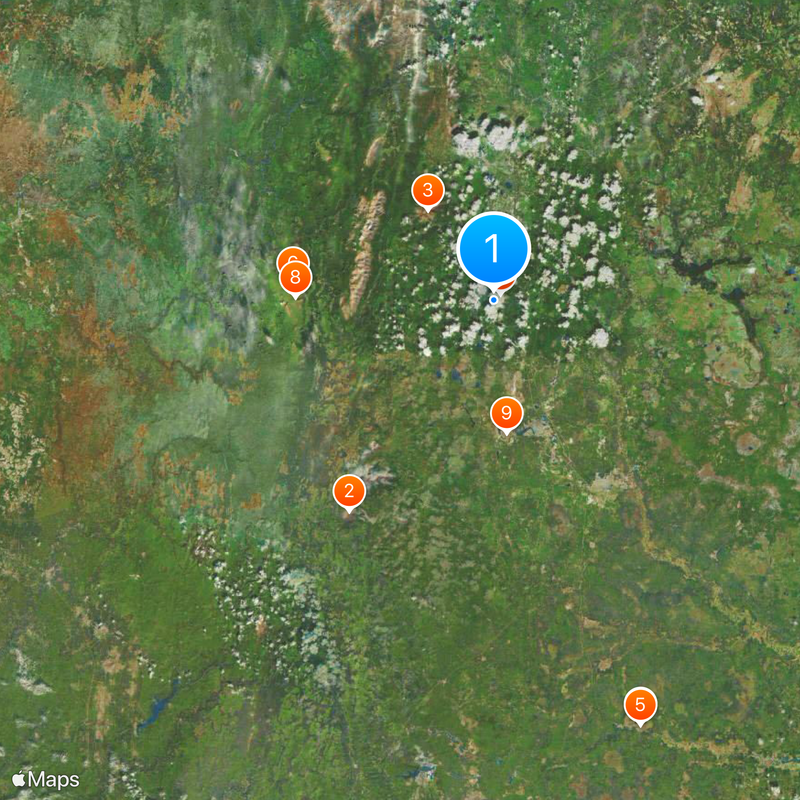
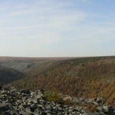
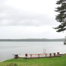
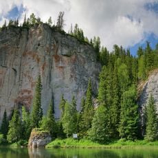
Severouralsk sits where the Vagran and Kolonga rivers meet, roughly 512 kilometers north of Yekaterinburg. The town spreads across an elevation near 200 meters and features a developed infrastructure with residential areas organized around mining and processing facilities.

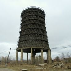
The settlement began in 1758 around a cast iron and copper foundry that formed its first industrial base. The discovery of major bauxite deposits in 1931 marked a turning point that transformed the region into a significant mining center.

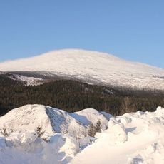
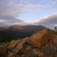
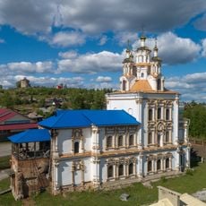
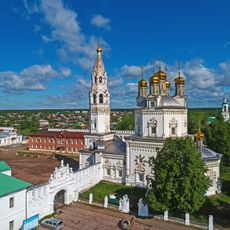
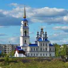
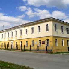
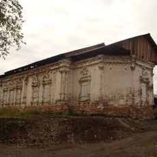
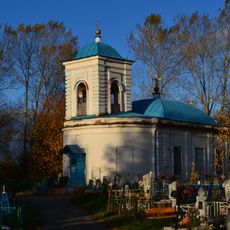
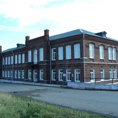
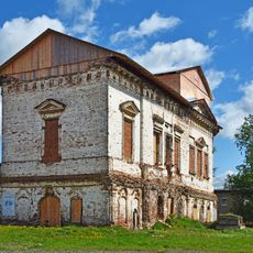
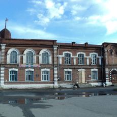
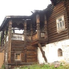
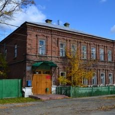
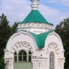
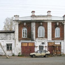
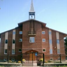
The town takes its name from its northern position in the Ural Mountains and remains shaped by its mining and metalworking past. Visitors can observe this heritage in the buildings and urban layout that developed around the factory and extraction sites.

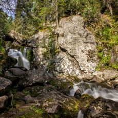
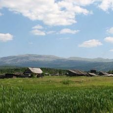
Climate and seasons significantly affect visiting conditions, with very cold winters and milder summers that shape outdoor activities. Visitors should note that the town is relatively isolated and local public transportation and services may be limited.

The town functions as a center for bauxite mining, an ore essential for aluminum production that drives the regional economy. This mineral has fundamentally shaped the settlement's development and growth since the early twentieth century.

The community of curious travelers

AroundUs brings together thousands of curated places, local tips, and hidden gems, enriched daily by 60,000 contributors worldwide.

Start exploring
Inception
1758
Elevation above the sea
200 m
GPS coordinates
60.15000,59.93333
Latest update
December 17, 2025 10:07
Around this place
Kosvinsky Kamen
Russian Federation

Kosvinsky Kamen

85.7 km
Zapovednik Denezhkin Kamen
Russian Federation

Zapovednik Denezhkin Kamen

37.2 km
St. Nicholas Verkhotursky monastery
Russian Federation

St. Nicholas Verkhotursky monastery

151.4 km
Verkhoturye Kremlin
Russian Federation

Verkhoturye Kremlin

151.8 km
Kvarkush
Russian Federation

Kvarkush

67.1 km
Wooden cooling tower
Russian Federation

Wooden cooling tower

2.9 km
Zhigalan Waterfalls
Russian Federation

Zhigalan Waterfalls

66.2 km
Presentation Cathedral in Karpinsk
Russian Federation

Presentation Cathedral in Karpinsk

44.5 km
Trinity Cathedral
Russian Federation

Trinity Cathedral

151.8 km
Saints Peter and Paul
Russian Federation

Saints Peter and Paul

781 m
Evgraf Fedorov Geological Museum
Russian Federation

Evgraf Fedorov Geological Museum

45.2 km
Church of the descent from the Cross
Russian Federation

Church of the descent from the Cross

151.6 km
Lake Svetloye
Russian Federation

Lake Svetloye

39.5 km
Transfiguration church in Serov
Russian Federation

Transfiguration church in Serov

70.5 km
Church of Our Lady of the Sign, Verkhoturye
Russian Federation

Church of Our Lady of the Sign, Verkhoturye

151.5 km
Varysh Rock on the Beryozovaya River
Russian Federation

Varysh Rock on the Beryozovaya River

136.1 km
Церковь Успения Божией Матери (Верхотурье)
Russian Federation

Церковь Успения Божией Матери (Верхотурье)

151.4 km
Женская гимназия
Russian Federation

Женская гимназия

152 km
Church of the Resurrection of Christ, Verkhoturye
Russian Federation

Church of the Resurrection of Christ, Verkhoturye

151.9 km
Здание общественного собрания
Russian Federation

Здание общественного собрания

151.9 km
Дом почётных гостей
Russian Federation

Дом почётных гостей

151.4 km
Дом Балашова
Russian Federation

Дом Балашова

152.2 km
Часовня Александра Невского (Краснотурьинск)
Russian Federation

Часовня Александра Невского (Краснотурьинск)

45.4 km
Дом с чайной лавкой
Russian Federation

Дом с чайной лавкой

151.7 km
Усадьба Рагозина
Russian Federation

Усадьба Рагозина

151.9 km
Церковь Рождества Богородицы (фундамент)
Russian Federation

Церковь Рождества Богородицы (фундамент)

23.9 km
Евангелическо-лютеранская церковь (Краснотурьинск)
Russian Federation

Евангелическо-лютеранская церковь (Краснотурьинск)

45.6 km
Oslyanka
Russian Federation

Oslyanka

134.5 km
Show the full map
« Severouralsk - Industrial town in Sverdlovsk Oblast, Russia » is provided by Around Us (aroundus.com). Images and texts are derived from Wikimedia project under a Creative Commons license. You are allowed to copy, distribute, and modify copies of this page, under the conditions set by the license, as long as this note is clearly visible.

Discover hidden gems everywhere you go!

From secret cafés to breathtaking viewpoints, skip the crowded tourist spots and find places that match your style. Our app makes it easy with voice search, smart filtering, route optimization, and insider tips from travelers worldwide. Download now for the complete mobile experience.

Around Us App Screenshot

A unique approach to discovering new places

Le Figaro

All the places worth exploring

France Info

A tailor-made excursion in just a few clicks

20 Minutes

Around Us
Travel Guide & Maps
Download

Send to your phone

QR Code
1

Open the camera app on your mobile.

2

Point at the QR code with your camera. A notification will appear.

3

Tap the notification to open the link.