Segezha, Industrial town in Republic of Karelia, Russia
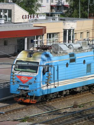
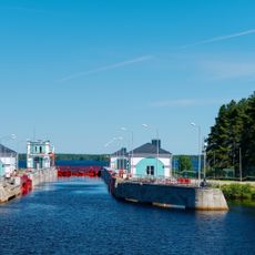
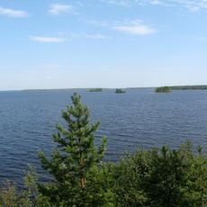
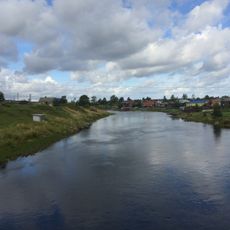
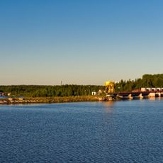
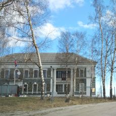
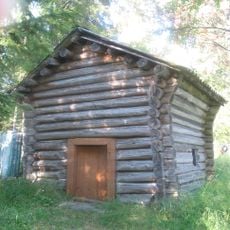
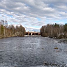
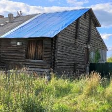
Segezha is an industrial town on the western shore of Lake Vygozero, spreading across forested terrain. It sits at about 80 meters above sea level and centers on timber processing through a large pulp and paper mill.
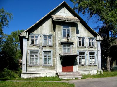
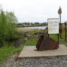
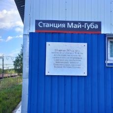
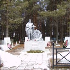
The town started in 1914 as a railway station during construction of the Murmansk Railway line. It gained official city status in 1943 and grew into a timber processing center afterward.
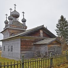
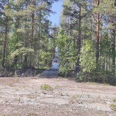
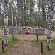
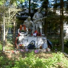
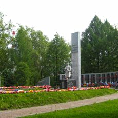
Residents here maintain ties to Karelian traditions, with local customs and seasonal festivals shaping community life. This connection shows in how people celebrate the rhythm of the seasons and keep traditional ways alive.
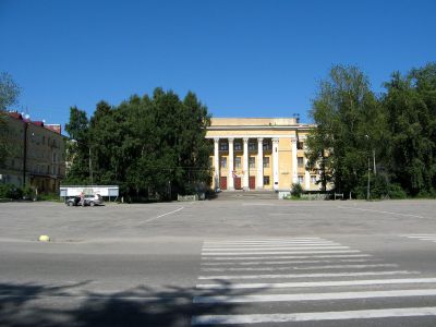
The town is compact and fairly walkable, with most places located centrally. Winters are long and dark while summers bring bright nights, so plan your visit based on your preference for daylight variation.
The location experiences extreme swings in daylight hours due to its northern position, with very long bright nights in summer and extended darkness in winter. These drastic shifts shape how people structure their daily routines throughout the year.
The community of curious travelers
AroundUs brings together thousands of curated places, local tips, and hidden gems, enriched daily by 60,000 contributors worldwide.