Enable Location

We need your location to show you interesting places around you

Discover nearby places

Find interesting locations and hidden gems around you

Precise directions

Get accurate directions and distances to places

Your location is never shared with other users. It's only used when you tap the location button.

Kogalym

Log in to your account

Start exploring — it's free

Trusted by 68,299 travelers worldwide

Continue with Google
Continue with Apple
or

We will send you a code to connect

By continuing, you accept our Terms and Conditions and our Privacy Policy

Check your inbox

We've sent a pincode in your inbox. Please enter the code below.

Discussion Reviews 1 Photos
128k Popularity

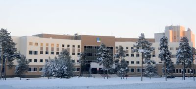
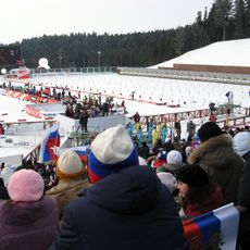
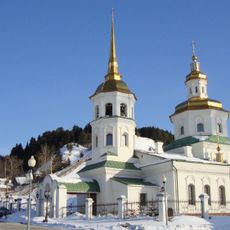
Kogalym, Industrial city in Khanty-Mansi Autonomous Okrug, Russia.

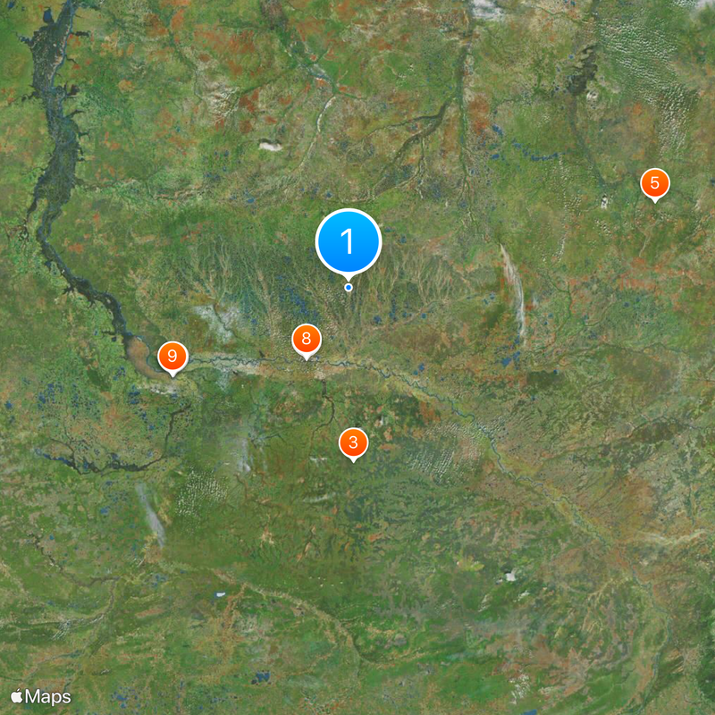
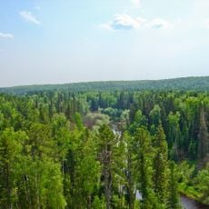
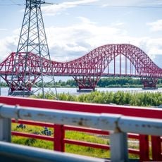
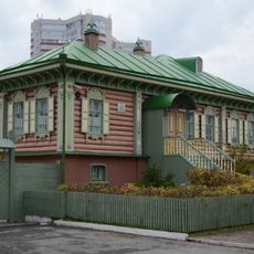
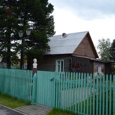
Kogalym sits on the Inguyagun River in Khanty-Mansi Autonomous Okrug and occupies flat terrain surrounded by taiga forest and wetlands. The built-up area spreads along main roads lined with apartment blocks and industrial facilities on the outskirts.

The settlement was founded in 1975 following the discovery of oil deposits in the region and attracted rapid population growth. In August 1985 it received official town status.

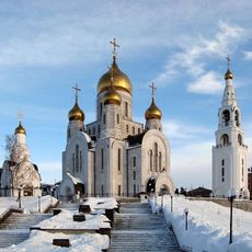
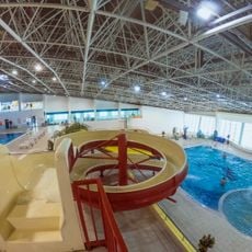
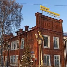
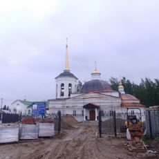
The city functions as the administrative center of Kogalym Urban Okrug, integrating industrial development with residential neighborhoods and public facilities.

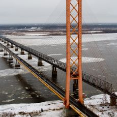
An international airport connects the city to other regions while local bus routes link residential areas and workplaces. A railway station provides another travel option to surrounding areas.

In January 2006 the temperature dropped to minus 62 degrees Celsius (minus 80 degrees Fahrenheit), marking one of the lowest readings ever recorded in inhabited areas of Russia. The extreme cold requires residents to take special precautions when leaving their homes.

The community of curious travelers

AroundUs brings together thousands of curated places, local tips, and hidden gems, enriched daily by 60,000 contributors worldwide.

Start exploring
Inception
1975
Elevation above the sea
80 m
GPS coordinates
62.26667,74.48333
Latest update
December 12, 2025 22:01
Around this place
Yugra Bridge
Russian Federation

Yugra Bridge

135.2 km
Yugansky Nature Reserve
Russian Federation

Yugansky Nature Reserve

290.7 km
Archeopark
Russian Federation

Archeopark

323.1 km
Upper Taz Nature Reserve
Russian Federation

Upper Taz Nature Reserve

504.4 km
Khanty-Mansiysk Biathlon Center
Russian Federation

Khanty-Mansiysk Biathlon Center

322 km
Drago rosso
Russian Federation

Drago rosso

323.7 km
Barsova Mountain
Russian Federation

Barsova Mountain

131.9 km
Samarovsky Chugas Nature Park
Russian Federation

Samarovsky Chugas Nature Park

322.3 km
Museum of Nature and Humanity
Russian Federation

Museum of Nature and Humanity

320.9 km
Cathedral of the Resurrection of Christ
Russian Federation

Cathedral of the Resurrection of Christ

321.3 km
Church of the Intercession of the Most Holy Mother of God in Khanty-Mansiysk
Russian Federation

Church of the Intercession of the Most Holy Mother of God in Khanty-Mansiysk

321.4 km
Знаменская церковь (Ханты-Мансийск)
Russian Federation

Знаменская церковь (Ханты-Мансийск)

320.4 km
Аквамарин
Russian Federation

Аквамарин

124.7 km
Ледовый дворец
Russian Federation

Ледовый дворец

128.5 km
Филин
Russian Federation

Филин

122.9 km
Аквапарк
Russian Federation

Аквапарк

322.9 km
Дом Г.С. Клепикова (Сургут)
Russian Federation

Дом Г.С. Клепикова (Сургут)

128.2 km
Category:Church of the Holy Mandylion in Kargasok
Russian Federation

Category:Church of the Holy Mandylion in Kargasok

498.5 km
Здание пожарного депо (Ханты-Мансийск)
Russian Federation

Здание пожарного депо (Ханты-Мансийск)

321.4 km
Дом, в котором с 1957 по 1961 гг. жил советский и российский геолог, первооткрыватель нефти в Сибири Ф.К. Салманов (Сургут)
Russian Federation

Дом, в котором с 1957 по 1961 гг. жил советский и российский геолог, первооткрыватель нефти в Сибири Ф.К. Салманов (Сургут)

125.9 km
Здание первой электростанции Ханты-Мансийска (Ханты-Мансийск)
Russian Federation

Здание первой электростанции Ханты-Мансийска (Ханты-Мансийск)

320.9 km
Concert and Theatre Center Yugra-Klassik
Russian Federation

Concert and Theatre Center Yugra-Klassik

320.8 km
Церковь Вознесения Господня (Горноправдинск)
Russian Federation

Церковь Вознесения Господня (Горноправдинск)

347 km
Спасская церковь (Шеркалы)
Russian Federation

Спасская церковь (Шеркалы)

465.5 km
Церковь целителя Пантелеймона (Тундрино)
Russian Federation

Церковь целителя Пантелеймона (Тундрино)

172.5 km
Мозаичное панно «Сургутская Мадонна» (Сургут)
Russian Federation

Мозаичное панно «Сургутская Мадонна» (Сургут)

117.6 km
Church of the Holy Mandylion (Skripunova)
Russian Federation

Church of the Holy Mandylion (Skripunova)

269.5 km
На гребне волны
Russian Federation

На гребне волны

2.9 km
Show the full map
Reviews
Share your experience

No review yet

Discussions
Start a discussion...

No discussion yet

« Kogalym - Industrial city in Khanty-Mansi Autonomous Okrug, Russia » is provided by Around Us (aroundus.com). Images and texts are derived from Wikimedia project under a Creative Commons license. You are allowed to copy, distribute, and modify copies of this page, under the conditions set by the license, as long as this note is clearly visible.

Discover hidden gems everywhere you go!

From secret cafés to breathtaking viewpoints, skip the crowded tourist spots and find places that match your style. Our app makes it easy with voice search, smart filtering, route optimization, and insider tips from travelers worldwide. Download now for the complete mobile experience.

Around Us App Screenshot

A unique approach to discovering new places

Le Figaro

All the places worth exploring

France Info

A tailor-made excursion in just a few clicks

20 Minutes

Around Us
Travel Guide & Maps
Download

Send to your phone

QR Code
1

Open the camera app on your mobile.

2

Point at the QR code with your camera. A notification will appear.

3

Tap the notification to open the link.