Enable Location

We need your location to show you interesting places around you

Discover nearby places

Find interesting locations and hidden gems around you

Precise directions

Get accurate directions and distances to places

Your location is never shared with other users. It's only used when you tap the location button.

Verkhoyansk Range

Log in to your account

Start exploring — it's free

Trusted by 67,941 travelers worldwide

Continue with Google
Continue with Apple
or

We will send you a code to connect

By continuing, you accept our Terms and Conditions and our Privacy Policy

Check your inbox

We've sent a pincode in your inbox. Please enter the code below.

Verkhoyansk Range
Discussion Reviews 1 Photos
23.7k Popularity

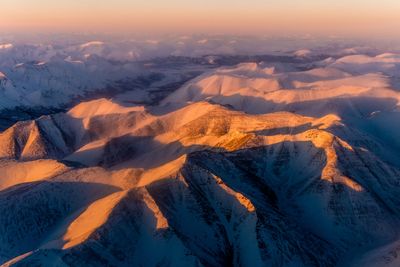
Verkhoyansk Range, Mountain range in Sakha, Russia

The Verkhoyansk Range is a mountain range in Sakha, Russia, stretching between two major river systems. Its rocks were formed through intense folding and pressure deep within the Earth, creating metamorphic compositions that make up the entire structure.

The mountain range formed during the Cretaceous period when massive forces compressed the Earth's crust and created large-scale folding. This geological process shaped the metamorphic rocks that make up the range today.

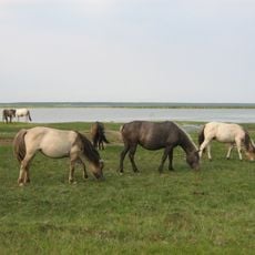
Indigenous peoples near the mountain range have developed traditional reindeer herding practices over generations, shaping how communities live and move across the land. This way of life remains central to the identity of people in the region today.

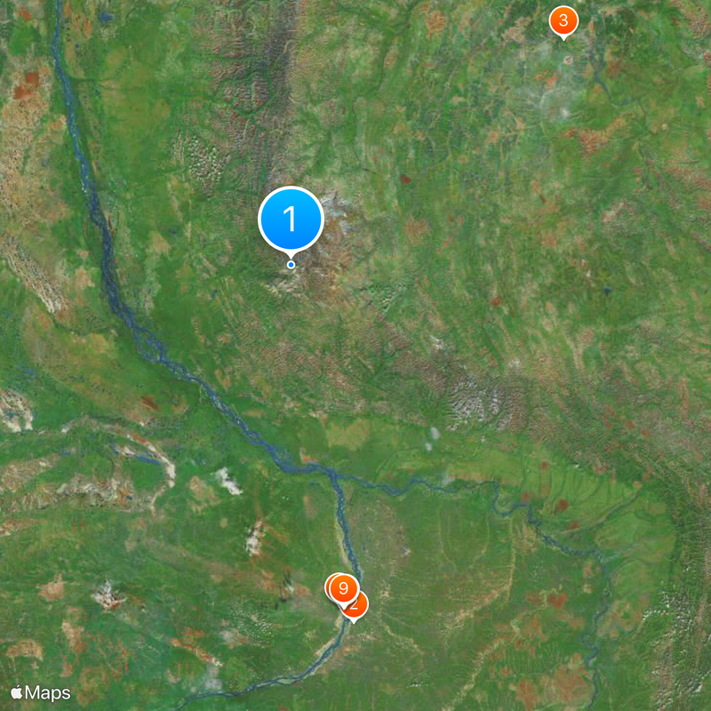
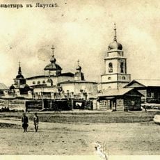
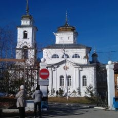
Getting to the mountain range is challenging and starts with reaching Yakutsk as a base point. Travel beyond that relies on poorly developed roads that make any journey to the range physically demanding.

The mountain rock contains scattered deposits of coal, silver, lead, tin, and zinc throughout its structure. These minerals have drawn scientific and practical interest to this remote region for centuries.

The community of curious travelers

AroundUs brings together thousands of curated places, local tips, and hidden gems, enriched daily by 60,000 contributors worldwide.

Start exploring
Location
Elevation above the sea
2,409 m
Made from material
metamorphic rock
GPS coordinates
65.50000,128.50000
Latest update
December 20, 2025 13:43
Around this place
Amur Yakutsk Mainline
Russian Federation

Amur Yakutsk Mainline

410.7 km
Batagaika crater
Russian Federation

Batagaika crater

361.5 km
Permafrost Kingdom
Russian Federation

Permafrost Kingdom

388.7 km
Шахта Шергина
Russian Federation

Шахта Шергина

391.8 km
Sakha Academic Theater
Russian Federation

Sakha Academic Theater

390.7 km
Sakha Opera and Ballet Theater
Russian Federation

Sakha Opera and Ballet Theater

391.6 km
Russian Drama Theatre A. Pushkin
Russian Federation

Russian Drama Theatre A. Pushkin

391.2 km
Komuz Museum
Russian Federation

Komuz Museum

390.5 km
Melnikov Permafrost Institute
Russian Federation

Melnikov Permafrost Institute

392.6 km
Statue of Lenin in Yakutsk
Russian Federation

Statue of Lenin in Yakutsk

391.2 km
Victory memorial in Yakutsk
Russian Federation

Victory memorial in Yakutsk

390.2 km
Nedzheli
Russian Federation

Nedzheli

264 km
Holy Trinity Cathedral
Russian Federation

Holy Trinity Cathedral

391.7 km
Սախայի Հանրապետության արվեստի ազգային թանգարան
Russian Federation

Սախայի Հանրապետության արվեստի ազգային թանգարան

391.5 km
Monastery of the Savior Not Made with Hands
Russian Federation

Monastery of the Savior Not Made with Hands

391.1 km
Кинотеатр «Центральный» (Якутск)
Russian Federation

Кинотеатр «Центральный» (Якутск)

390.9 km
Myuryu
Russian Federation

Myuryu

341.2 km
Saint Nicholas church in Yakutsk
Russian Federation

Saint Nicholas church in Yakutsk

390.8 km
Russian Federation

Tank memorial to fallen in WWII, Yakutsk

390.2 km
Намская улусная гимназия
Russian Federation

Намская улусная гимназия

314.9 km
Этнографический комплекс «Чочур-Муран»
Russian Federation

Этнографический комплекс «Чочур-Муран»

389 km
Nationalbibliothek der Republik Sacha (Jakutien)
Russian Federation

Nationalbibliothek der Republik Sacha (Jakutien)

391.4 km
F. K. Popov yodgorlik-byusti
Russian Federation

F. K. Popov yodgorlik-byusti

427.4 km
Памятник воинам-землякам (Сангар)
Russian Federation

Памятник воинам-землякам (Сангар)

181.5 km
Sovet Ittifoqi Qahramoni K. K. Krasnoyarovning yodgorlik-byusti
Russian Federation

Sovet Ittifoqi Qahramoni K. K. Krasnoyarovning yodgorlik-byusti

392.5 km
Памятник воинам-землякам (Майя)
Russian Federation

Памятник воинам-землякам (Майя)

427.4 km
Railway bridge through Myla river
Russian Federation

Railway bridge through Myla river

421 km
Railway bridge through Tamma river
Russian Federation

Railway bridge through Tamma river

424.8 km
Show the full map
Reviews
Share your experience

No review yet

Discussions
Start a discussion...

No discussion yet

« Verkhoyansk Range - Mountain range in Sakha, Russia » is provided by Around Us (aroundus.com). Images and texts are derived from Wikimedia project under a Creative Commons license. You are allowed to copy, distribute, and modify copies of this page, under the conditions set by the license, as long as this note is clearly visible.

Discover hidden gems everywhere you go!

From secret cafés to breathtaking viewpoints, skip the crowded tourist spots and find places that match your style. Our app makes it easy with voice search, smart filtering, route optimization, and insider tips from travelers worldwide. Download now for the complete mobile experience.

Around Us App Screenshot

A unique approach to discovering new places

Le Figaro

All the places worth exploring

France Info

A tailor-made excursion in just a few clicks

20 Minutes

Around Us
Travel Guide & Maps
Download

Send to your phone

QR Code
1

Open the camera app on your mobile.

2

Point at the QR code with your camera. A notification will appear.

3

Tap the notification to open the link.