Chest opened
+${chestReward.xp} XP
Explorer
NOUVEAU ×${chestReward.collectible.quantity}
tapez pour fermer
Chest locked

Open chests in the app

Around Us is built for your phone — chests unlock when you walk, explore and capture nearby places.

Enable Location

We need your location to show you interesting places around you

Discover nearby places

Find interesting locations and hidden gems around you

Precise directions

Get accurate directions and distances to places

Your location is never shared with other users. It's only used when you tap the location button.

Komi-Permyak Autonomous Okrug

Log in to your account

Start exploring — it's free

Trusted by 73,018 travelers worldwide

Continue with Google
Continue with Apple
or

We will send you a code to connect

By continuing, you accept our Terms and Conditions and our Privacy Policy

Check your inbox

We've sent a pincode in your inbox. Please enter the code below.

Komi-Permyak Autonomous Okrug
Discussion Reviews 1 Photos
20.1k Popularity

Komi-Permyak Autonomous Okrug, autonomous okrug of Russia

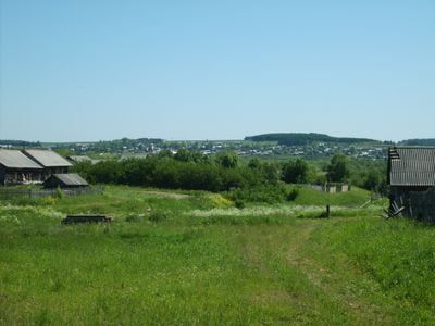
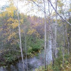
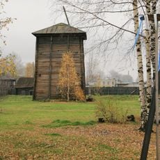
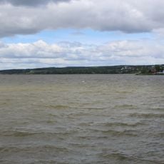
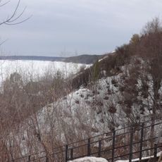
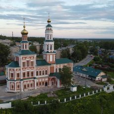
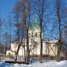
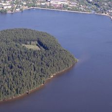
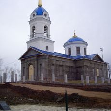
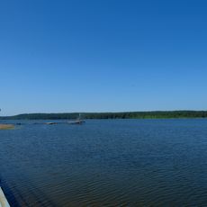
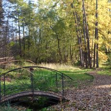
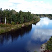
The Komi-Permyak Autonomous Okrug was a region in east-central Russia characterized mainly by forest landscapes and river systems. The terrain was flat and densely forested, with the upper Kama River serving as a major waterway through the area.

The autonomous okrug was established in 1925 to give local Finno-Ugric peoples control over their affairs. It remained independent until 2005, when it merged with Perm Oblast to form Perm Krai.

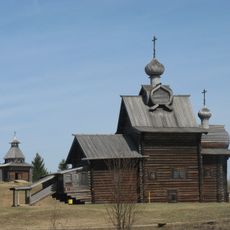
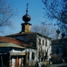
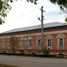
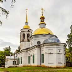
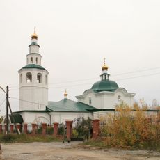
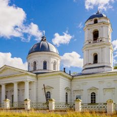
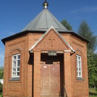
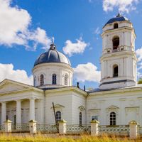
The Komi-Permyak people maintain their own language and traditions visible in villages and local celebrations today. At festivals, you see dancing performances and traditional clothing, while wood carving and embroidered textiles appear in homes throughout the area.

Visiting the region allows exploration of quiet villages and natural landscapes through flat, forested terrain. The best time to explore is during warmer months when forests are accessible and small local markets operate actively.

This area was among the first regions in Russia to change its status by merging with a larger region rather than dissolving. The 2005 integration showed a new model for how local identity could be maintained within larger administrative structures.

The community of curious travelers

AroundUs brings together thousands of curated places, local tips, and hidden gems, enriched daily by 60,000 contributors worldwide.

Start exploring
Inception
February 26, 1925
Capital city
Kudymkar
Part of
Volga Federal District
GPS coordinates
59.01667,54.66667
Latest update
March 5, 2026 18:17
Around this place
Khokhlovka
Russian Federation

Khokhlovka

125 km
Krasavinsky bridge
Russian Federation

Krasavinsky bridge

137.2 km
Gayva
Russian Federation

Gayva

110 km
Ust-Borovaya Saltworks
Russian Federation

Ust-Borovaya Saltworks

137.3 km
Armored boat AK-454
Russian Federation

Armored boat AK-454

135.3 km
Prud Nytvinskiy
Russian Federation

Prud Nytvinskiy

124.7 km
Кудымкарское городище
Russian Federation

Кудымкарское городище

1 km
Church of the Nativity of John the Baptist, Solikamsk
Russian Federation

Church of the Nativity of John the Baptist, Solikamsk

136.5 km
Russian Federation

Соликамский кремль

138.3 km
Собор Рождества Богородицы
Russian Federation

Собор Рождества Богородицы

89.4 km
Saint Michael Church, Solikamsk
Russian Federation

Saint Michael Church, Solikamsk

138.3 km
Ochersky Pond
Russian Federation

Ochersky Pond

125.7 km
Храм Рождества Пресвятой Богородицы
Russian Federation

Храм Рождества Пресвятой Богородицы

118.8 km
Добрянский историко-краеведческий музей
Russian Federation

Добрянский историко-краеведческий музей

118.6 km
Category:Saint Nicholas Orthodox church in Kudymkar
Russian Federation

Category:Saint Nicholas Orthodox church in Kudymkar

842 m
Prud Pavlovskiy
Russian Federation

Prud Pavlovskiy

130.3 km
Church of the Beheading of Saint John the Baptist in Berezniki
Russian Federation

Church of the Beheading of Saint John the Baptist in Berezniki

127.3 km
Kuzminka (Teploukhov's garden)
Russian Federation

Kuzminka (Teploukhov's garden)

77.2 km
Троицкий храм
Russian Federation

Троицкий храм

81.5 km
Храм во имя всех святых (Нытва)
Russian Federation

Храм во имя всех святых (Нытва)

124.8 km
Сюзьва (разъезд)
Russian Federation

Сюзьва (разъезд)

102.3 km
Pazhman
Russian Federation

Pazhman

130.1 km
1406-й км
Russian Federation

1406-й км

121.3 km
1402-й км
Russian Federation

1402-й км

116.8 km
1401-й км
Russian Federation

1401-й км

115.3 km
100 км
Russian Federation

100 км

129.8 km
1403-й км
Russian Federation

1403-й км

118 km
Port Baranyata
Russian Federation

Port Baranyata

100.4 km
Show the full map
Reviews
Share your experience

No review yet

Discussions
Start a discussion...

No discussion yet

« Komi-Permyak Autonomous Okrug - autonomous okrug of Russia » is provided by Around Us (aroundus.com). Images and texts are derived from Wikimedia project under a Creative Commons license. You are allowed to copy, distribute, and modify copies of this page, under the conditions set by the license, as long as this note is clearly visible.

Discover hidden gems everywhere you go!

From secret cafés to breathtaking viewpoints, skip the crowded tourist spots and find places that match your style. Our app makes it easy with voice search, smart filtering, route optimization, and insider tips from travelers worldwide. Download now for the complete mobile experience.

Around Us App Screenshot

A unique approach to discovering new places

Le Figaro

All the places worth exploring

France Info

A tailor-made excursion in just a few clicks

20 Minutes

Around Us
Travel Guide & Maps
Download

Send to your phone

QR Code
1

Open the camera app on your mobile.

2

Point at the QR code with your camera. A notification will appear.

3

Tap the notification to open the link.