Enable Location

We need your location to show you interesting places around you

Discover nearby places

Find interesting locations and hidden gems around you

Precise directions

Get accurate directions and distances to places

Your location is never shared with other users. It's only used when you tap the location button.

Gornomariysky District

Log in to your account

Start exploring — it's free

Trusted by 62,407 travelers worldwide

Continue with Google
Continue with Apple
or

We will send you a code to connect

By continuing, you accept our Terms and Conditions and our Privacy Policy

Check your inbox

We've sent a pincode in your inbox. Please enter the code below.

Gornomariysky District

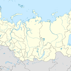
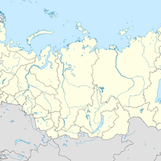
Gornomariysky District, Municipal district on the west bank of Volga River in Mari El, Russia.

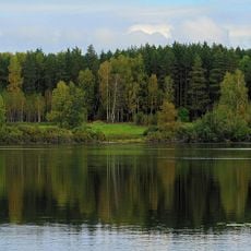
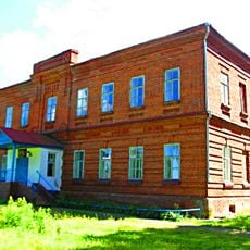
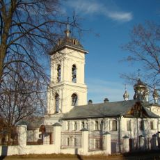
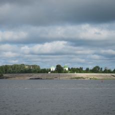
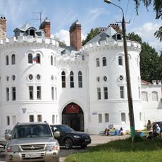
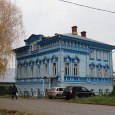
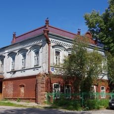
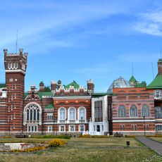
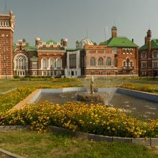
Gornomariysky District is a municipal district located on the west bank of the Volga River in Mari El, Russia. The territory comprises numerous rural settlements managed from the administrative center of Kozmodemyansk.

The district was part of the Mari Autonomous Soviet Socialist Republic until 1993, when Mari El gained status as an independent republic within the Russian Federation. This transition reshaped the region's administrative structure and self-governance.

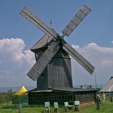
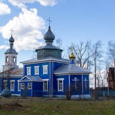
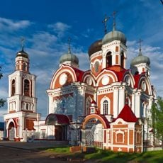
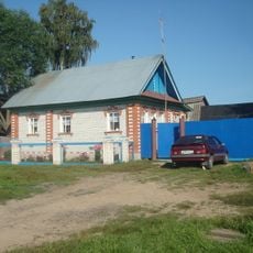
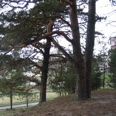
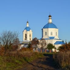
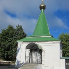
The Hill Mari people maintain their native language and customs in this territory, distinguishing themselves from other Mari communities. You can observe these traditions in village life and local daily practices.

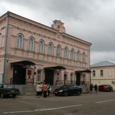
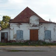
Visitors should know that this area is primarily rural, with Kozmodemyansk serving as the main hub for services and infrastructure. The warmer months offer the best conditions for exploring villages and accessing roads throughout the district.

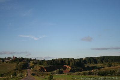
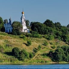
This territory is the sole administrative area of Mari El situated entirely on the elevated right bank of the Volga River. This geographic distinction makes it stand apart from other parts of the region.

The community of curious travelers

AroundUs brings together thousands of curated places, local tips, and hidden gems, enriched daily by 60,000 contributors worldwide.

Start exploring
Location
Capital city
Kozmodemyansk
GPS coordinates
56.33333,46.56667
Latest update
December 8, 2025 13:42
Around this place
Sheremetev castle
Russian Federation

Sheremetev castle

17.6 km
Cheboksary Reservoir
Russian Federation

Cheboksary Reservoir

10 km
Ancient Chuvash Oak
Russian Federation

Ancient Chuvash Oak

23.1 km
Svetloye Lake
Russian Federation

Svetloye Lake

28.4 km
Ethnographic Museum in the Open Air in Kozmodemyansk
Russian Federation

Ethnographic Museum in the Open Air in Kozmodemyansk

559 m
A.V. Grigoriev Art and History Museum
Russian Federation

A.V. Grigoriev Art and History Museum

1.2 km
Церковь Рождества Христова
Russian Federation

Церковь Рождества Христова

38.7 km
Красний Май
Russian Federation

Красний Май

33.1 km
Cathedral of the Theotokos of Smolensk, Kozmodemyansk
Russian Federation

Cathedral of the Theotokos of Smolensk, Kozmodemyansk

1 km
Введенский Вершино-Сумский монастырь
Russian Federation

Введенский Вершино-Сумский монастырь

29.1 km
Holy Trinity Church, Kozmodemyansk
Russian Federation

Holy Trinity Church, Kozmodemyansk

1.1 km
Revolution village
Russian Federation

Revolution village

29.1 km
Цигановський
Russian Federation

Цигановський

29.1 km
Первое Мая (Чуваши)
Russian Federation

Первое Мая (Чуваши)

35.9 km
Васильевка (Чуваши)
Russian Federation

Васильевка (Чуваши)

27.1 km
Церковь Иоанна Предтечи (Коротни)
Russian Federation

Церковь Иоанна Предтечи (Коротни)

3.2 km
Фрагмент крепостной стены с западными воротами (Юрино)
Russian Federation

Фрагмент крепостной стены с западными воротами (Юрино)

17.7 km
Museum of Russian Merchants' Life
Russian Federation

Museum of Russian Merchants' Life

997 m
Church of Michael the Archangel, Yurino
Russian Federation

Church of Michael the Archangel, Yurino

17.7 km
Losev house, Yurino
Russian Federation

Losev house, Yurino

17.8 km
Главный дом (Юрино)
Russian Federation

Главный дом (Юрино)

17.6 km
Ледник (Юрино)
Russian Federation

Ледник (Юрино)

17.5 km
Park of Sheremetev Castle, Yurino
Russian Federation

Park of Sheremetev Castle, Yurino

17.4 km
Церковь Рождества Пресвятой Богородицы (Сумки)
Russian Federation

Церковь Рождества Пресвятой Богородицы (Сумки)

20.6 km
Фонтан (Юрино)
Russian Federation

Фонтан (Юрино)

17.7 km
Церковь Пресвятой Троицы (Троицкий Посад)
Russian Federation

Церковь Пресвятой Троицы (Троицкий Посад)

7.4 km
Chapel of the Holy Mandylion, Kozmodemyansk
Russian Federation

Chapel of the Holy Mandylion, Kozmodemyansk

1.3 km
Часовня во имя бессребреников Космы и Дамиана (Козьмодемьянск)
Russian Federation

Часовня во имя бессребреников Космы и Дамиана (Козьмодемьянск)

1.2 km
Show the full map
« Gornomariysky District - Municipal district on the west bank of Volga River in Mari El, Russia » is provided by Around Us (aroundus.com). Images and texts are derived from Wikimedia project under a Creative Commons license. You are allowed to copy, distribute, and modify copies of this page, under the conditions set by the license, as long as this note is clearly visible.

Discover hidden gems everywhere you go!

From secret cafés to breathtaking viewpoints, skip the crowded tourist spots and find places that match your style. Our app makes it easy with voice search, smart filtering, route optimization, and insider tips from travelers worldwide. Download now for the complete mobile experience.

Around Us App Screenshot

A unique approach to discovering new places

Le Figaro

All the places worth exploring

France Info

A tailor-made excursion in just a few clicks

20 Minutes

Around Us
Travel Guide & Maps
Download

Send to your phone

QR Code
1

Open the camera app on your mobile.

2

Point at the QR code with your camera. A notification will appear.

3

Tap the notification to open the link.