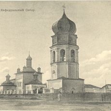
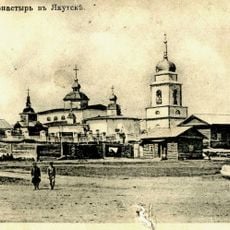
Khangalassky District, Municipal district in Sakha Republic, Russia
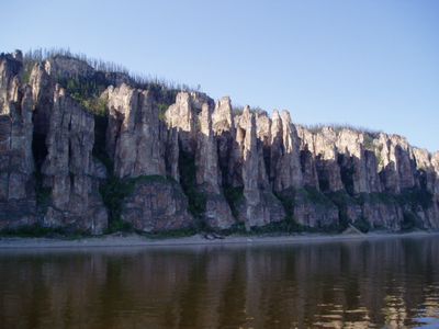
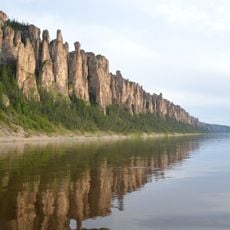
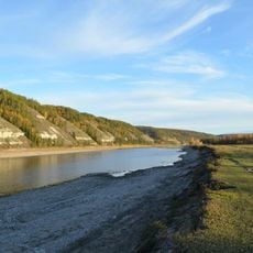
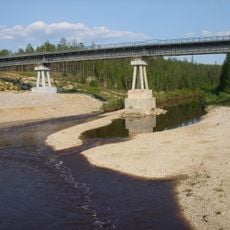
Khangalassky is a municipal district in the Sakha Republic in northeastern Siberia, encompassing several rural settlements scattered across forest and river landscapes. The Lena River runs through the territory, connecting various communities that make up this extensive administrative area.
The district was established in 1930 as an administrative division and was renamed Ordzhonikidzevsky from 1937 until 1992. This later change reflected shifts in regional governance following broader political transitions.
The region is shaped by Yakut heritage, with local communities maintaining traditions tied to reindeer herding and taiga life. Visitors can observe how these customs influence everyday practices and settlement patterns across the territory.
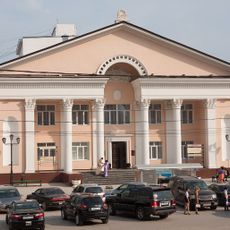
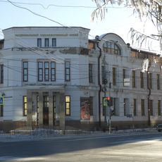
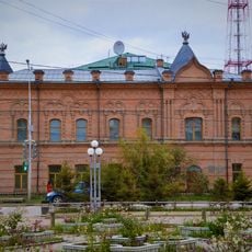
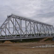
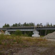
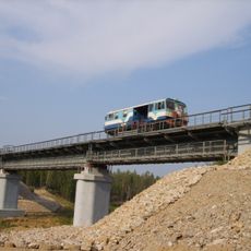
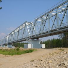
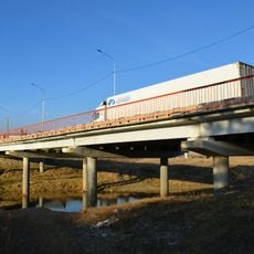
Pokrovsk serves as the administrative center and connects to other regions via the Lena Highway, the main transportation route through the area. The scattered location of settlements means travel between communities requires planning and takes considerable time.
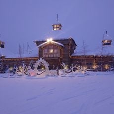
The area experiences dramatic temperature swings between winter and summer, which deeply shape how residents live and plan their activities. These climatic conditions define the landscape and determine the rhythm of daily life across the region.
The community of curious travelers
AroundUs brings together thousands of curated places, local tips, and hidden gems, enriched daily by 60,000 contributors worldwide.